
| Memorials | : | 1 |
| Location | : | Parsons, Decatur County, USA |
| Coordinate | : | 35.6243920, -88.1377210 |
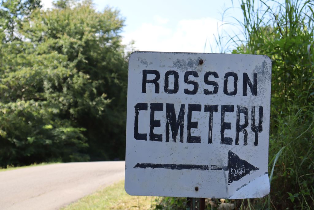
| Description | : | From the intersection of Herndon Rd. & US-641, south of Parsons, travel west on Herndon Rd., going 0.2 mi.; turning northwest (right) to stay on Herndon Rd., going 0.5 mi,; continuing onto Tomlin Chapel Rd. for about 100 yd., turning south (left) to stay on Tomlin Chapel Rd., going 0.2 mi. to the cemetery on the west (right) side, turning right into the driveway towards the cemetery. Rosson Cemetery is a family cemetery on Tomlin Chapel Road in Decatur County, Tennessee. Eleven graves here are marked by pairs of concrete blocks. Most of these at one time had... Read More |
frequently asked questions (FAQ):
-
Where is Rosson Cemetery?
Rosson Cemetery is located at 1826 Tomlin Chapel Road Parsons, Decatur County ,Tennessee , 38363USA.
-
Rosson Cemetery cemetery's updated grave count on graveviews.com?
1 memorials
-
Where are the coordinates of the Rosson Cemetery?
Latitude: 35.6243920
Longitude: -88.1377210
Nearby Cemetories:
1. Graves Cemetery
Parsons, Decatur County, USA
Coordinate: 35.6274740, -88.1421470
2. Herndon Cemetery
Parsons, Decatur County, USA
Coordinate: 35.6181970, -88.1255280
3. Mount Tabor Church Cemetery
Parsons, Decatur County, USA
Coordinate: 35.6242020, -88.1169180
4. Barnett Cemetery
Parsons, Decatur County, USA
Coordinate: 35.6377790, -88.1581500
5. Houston Cemetery
Parsons, Decatur County, USA
Coordinate: 35.6171810, -88.1125870
6. Southside Church Cemetery
Parsons, Decatur County, USA
Coordinate: 35.6282030, -88.1103900
7. Clay Cemetery
Parsons, Decatur County, USA
Coordinate: 35.6375510, -88.1126050
8. Bear Creek Church Cemetery
Parsons, Decatur County, USA
Coordinate: 35.6491130, -88.1481300
9. Parsons Cemetery
Parsons, Decatur County, USA
Coordinate: 35.6472200, -88.1205000
10. White Cemetery
Decatur County, USA
Coordinate: 35.6068993, -88.1110992
11. Myracle Family Cemetery
Parsons, Decatur County, USA
Coordinate: 35.6234610, -88.1776630
12. Keen Cemetery
Parsons, Decatur County, USA
Coordinate: 35.6459090, -88.1715020
13. Camp Ground Cemetery
Decaturville, Decatur County, USA
Coordinate: 35.5955700, -88.1625440
14. Lowery Cemetery
Decaturville, Decatur County, USA
Coordinate: 35.5860480, -88.1314090
15. Decaturville City Cemetery
Decaturville, Decatur County, USA
Coordinate: 35.5875240, -88.1200490
16. Houston - Young Cemetery
Decaturville, Decatur County, USA
Coordinate: 35.5851070, -88.1311530
17. Houston Cemetery
Decatur County, USA
Coordinate: 35.6268997, -88.0888977
18. New Hope Baptist Church Cemetery
Decaturville, Decatur County, USA
Coordinate: 35.5992640, -88.1768180
19. Yarbro Cemetery
Decaturville, Decatur County, USA
Coordinate: 35.5807900, -88.1483890
20. Freedman Chapel Cemetery
Decaturville, Decatur County, USA
Coordinate: 35.5789630, -88.1288390
21. Dukes Cemetery
Darden, Henderson County, USA
Coordinate: 35.6435210, -88.1928930
22. Tolley Cemetery
Parsons, Decatur County, USA
Coordinate: 35.6090410, -88.0782990
23. Iron Hill Church Cemetery
Parsons, Decatur County, USA
Coordinate: 35.6638920, -88.0932450
24. Trinity Tabernacle Cemetery
Decaturville, Decatur County, USA
Coordinate: 35.5687510, -88.1265580