
| Memorials | : | 0 |
| Location | : | Parsons, Decatur County, USA |
| Coordinate | : | 35.6234610, -88.1776630 |
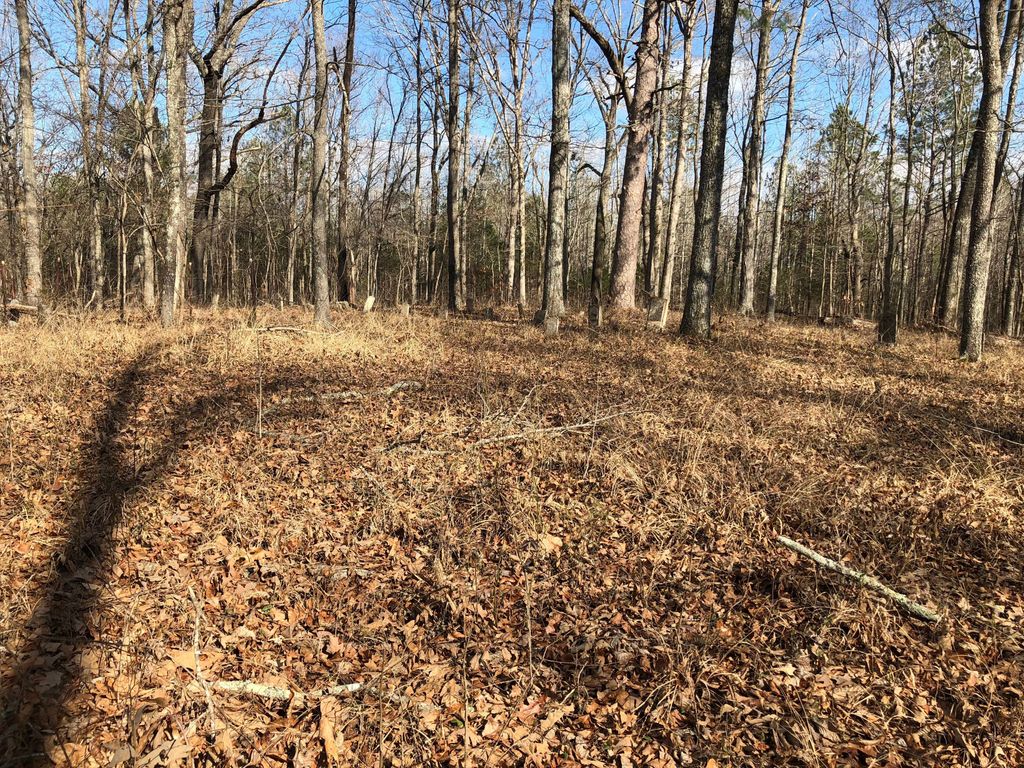
| Description | : | Myracle Cemetery is a family cemetery on the east side of the road from Beacon to Decaturville, just north of the Beech River. It is indicated at the top center of the U.S.G.S. Scotts Hill quadrangle (1986). The cemetery has been vandalized. It essentially is abandoned; the last burial there was in 1932. David Donahue recorded Myracle Cemetery in 1991. Alexander, Bartholomew, and Tuten recorded Myracle Cemetery in 1976. |
frequently asked questions (FAQ):
-
Where is Myracle Family Cemetery?
Myracle Family Cemetery is located at 1412 Co Hwy 1735 Parsons, Decatur County ,Tennessee , 38363USA.
-
Myracle Family Cemetery cemetery's updated grave count on graveviews.com?
0 memorials
-
Where are the coordinates of the Myracle Family Cemetery?
Latitude: 35.6234610
Longitude: -88.1776630
Nearby Cemetories:
1. Barnett Cemetery
Parsons, Decatur County, USA
Coordinate: 35.6377790, -88.1581500
2. Keen Cemetery
Parsons, Decatur County, USA
Coordinate: 35.6459090, -88.1715020
3. Dukes Cemetery
Darden, Henderson County, USA
Coordinate: 35.6435210, -88.1928930
4. New Hope Baptist Church Cemetery
Decaturville, Decatur County, USA
Coordinate: 35.5992640, -88.1768180
5. Graves Cemetery
Parsons, Decatur County, USA
Coordinate: 35.6274740, -88.1421470
6. Camp Ground Cemetery
Decaturville, Decatur County, USA
Coordinate: 35.5955700, -88.1625440
7. Rosson Cemetery
Parsons, Decatur County, USA
Coordinate: 35.6243920, -88.1377210
8. Bear Creek Church Cemetery
Parsons, Decatur County, USA
Coordinate: 35.6491130, -88.1481300
9. Newsom Family Cemetery
Henderson County, USA
Coordinate: 35.5948410, -88.2104270
10. Darden Cemetery
Darden, Henderson County, USA
Coordinate: 35.6388910, -88.2244260
11. Herndon Cemetery
Parsons, Decatur County, USA
Coordinate: 35.6181970, -88.1255280
12. Hensley Cemetery
Henderson County, USA
Coordinate: 35.5861015, -88.2161026
13. Yarbro Cemetery
Decaturville, Decatur County, USA
Coordinate: 35.5807900, -88.1483890
14. Mount Tabor Church Cemetery
Parsons, Decatur County, USA
Coordinate: 35.6242020, -88.1169180
15. Presley Cemetery
Darden, Henderson County, USA
Coordinate: 35.5928120, -88.2259270
16. Parsons Cemetery
Parsons, Decatur County, USA
Coordinate: 35.6472200, -88.1205000
17. Crowell Chapel Cemetery
Henderson County, USA
Coordinate: 35.5952860, -88.2318640
18. Harrington Cemetery
Decaturville, Decatur County, USA
Coordinate: 35.5706580, -88.1788700
19. Lowery Cemetery
Decaturville, Decatur County, USA
Coordinate: 35.5860480, -88.1314090
20. Houston Cemetery
Parsons, Decatur County, USA
Coordinate: 35.6171810, -88.1125870
21. Houston - Young Cemetery
Decaturville, Decatur County, USA
Coordinate: 35.5851070, -88.1311530
22. Clay Cemetery
Parsons, Decatur County, USA
Coordinate: 35.6375510, -88.1126050
23. Southside Church Cemetery
Parsons, Decatur County, USA
Coordinate: 35.6282030, -88.1103900
24. Hayes Cemetery
Darden, Henderson County, USA
Coordinate: 35.6702050, -88.2136140