| Memorials | : | 0 |
| Location | : | Parsons, Decatur County, USA |
| Coordinate | : | 35.6459090, -88.1715020 |
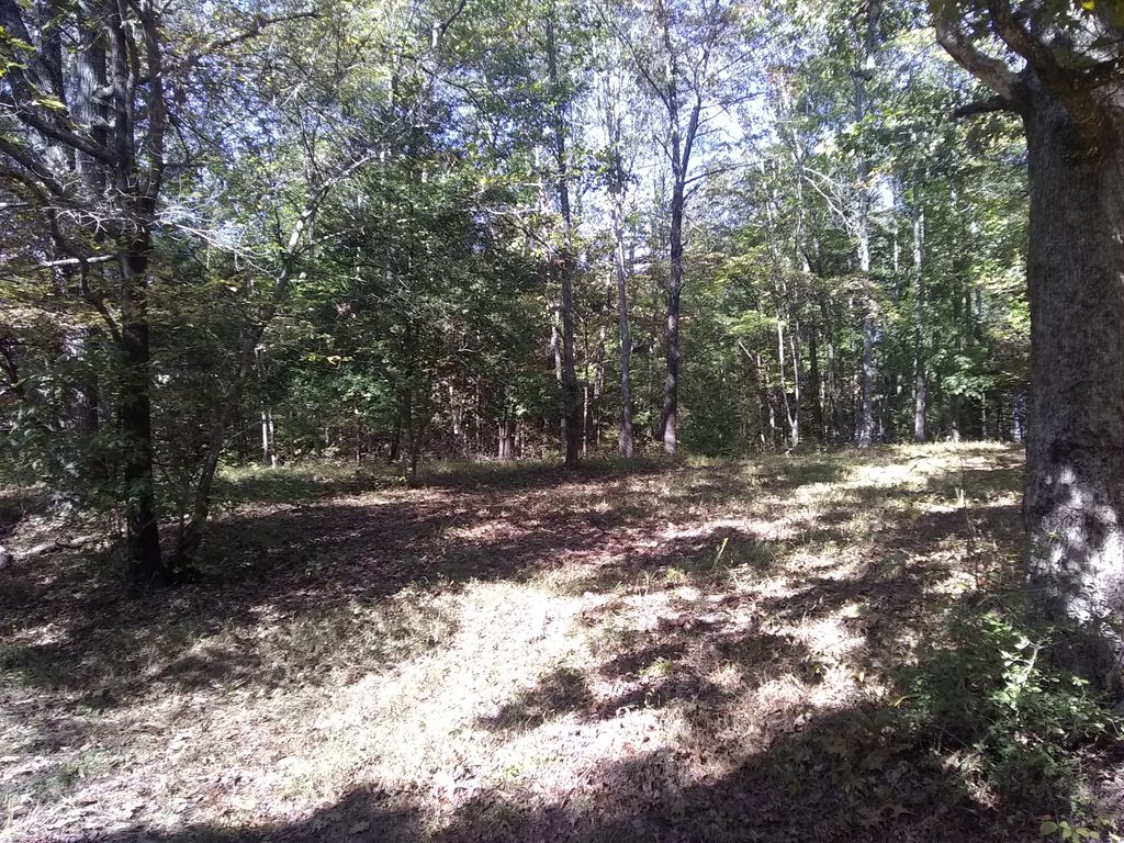
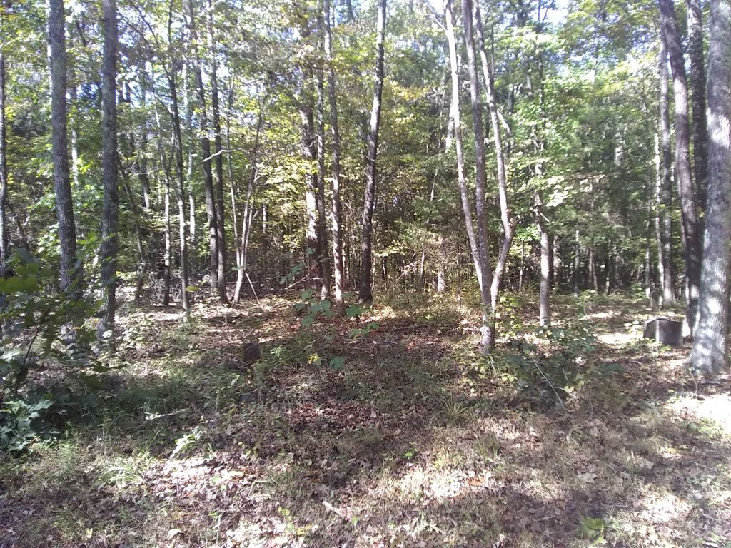
| Description | : | Located 2 miles West of Parsons on US-412, turning north (right) onto Myracle Town Road, going 0.3 mi.; turning west (left) onto Alma Ln. going 0.2 mi. to the end & the cemetery on the north (right) side of the lane, near the home of John D. Townsend. This cemetery was indexed by Bartholomew and Tuten in1976. The condition of this cemetery is very poor. They noted "30 unmarked graves" within the fence (white section) and "25 unmarked graves" outside the fence (black section). |
frequently asked questions (FAQ):
-
Where is Keen Cemetery?
Keen Cemetery is located at Alma Lane Parsons, Decatur County ,Tennessee , 38363USA.
-
Keen Cemetery cemetery's updated grave count on graveviews.com?
0 memorials
-
Where are the coordinates of the Keen Cemetery?
Latitude: 35.6459090
Longitude: -88.1715020
Nearby Cemetories:
1. Barnett Cemetery
Parsons, Decatur County, USA
Coordinate: 35.6377790, -88.1581500
2. Dukes Cemetery
Darden, Henderson County, USA
Coordinate: 35.6435210, -88.1928930
3. Bear Creek Church Cemetery
Parsons, Decatur County, USA
Coordinate: 35.6491130, -88.1481300
4. Myracle Family Cemetery
Parsons, Decatur County, USA
Coordinate: 35.6234610, -88.1776630
5. Graves Cemetery
Parsons, Decatur County, USA
Coordinate: 35.6274740, -88.1421470
6. Rosson Cemetery
Parsons, Decatur County, USA
Coordinate: 35.6243920, -88.1377210
7. Parsons Cemetery
Parsons, Decatur County, USA
Coordinate: 35.6472200, -88.1205000
8. Hayes Cemetery
Darden, Henderson County, USA
Coordinate: 35.6702050, -88.2136140
9. Darden Cemetery
Darden, Henderson County, USA
Coordinate: 35.6388910, -88.2244260
10. Gabbard Cemetery
Parsons, Decatur County, USA
Coordinate: 35.6875340, -88.1507260
11. Herndon Cemetery
Parsons, Decatur County, USA
Coordinate: 35.6181970, -88.1255280
12. New Hope Baptist Church Cemetery
Decaturville, Decatur County, USA
Coordinate: 35.5992640, -88.1768180
13. Hays Cemetery
Bible Hill, Decatur County, USA
Coordinate: 35.6914070, -88.1505910
14. Hill Cemetery
Parsons, Decatur County, USA
Coordinate: 35.6914190, -88.1505980
15. Clay Cemetery
Parsons, Decatur County, USA
Coordinate: 35.6375510, -88.1126050
16. Mount Tabor Church Cemetery
Parsons, Decatur County, USA
Coordinate: 35.6242020, -88.1169180
17. Camp Ground Cemetery
Decaturville, Decatur County, USA
Coordinate: 35.5955700, -88.1625440
18. Mount Ararat Cemetery
Darden, Henderson County, USA
Coordinate: 35.6907997, -88.2031021
19. Southside Church Cemetery
Parsons, Decatur County, USA
Coordinate: 35.6282030, -88.1103900
20. McMurry Cemetery
Parsons, Decatur County, USA
Coordinate: 35.6864650, -88.1294860
21. Stills Cemetery
Parsons, Decatur County, USA
Coordinate: 35.6848660, -88.1269820
22. Corinth Church Cemetery
Darden, Henderson County, USA
Coordinate: 35.6585850, -88.2381060
23. Houston Cemetery
Parsons, Decatur County, USA
Coordinate: 35.6171810, -88.1125870
24. Cross Roads Church Cemetery
Parsons, Decatur County, USA
Coordinate: 35.6814030, -88.1150360


