
| Memorials | : | 0 |
| Location | : | Marathon, Brewster County, USA |
| Coordinate | : | 30.1828300, -103.2600300 |
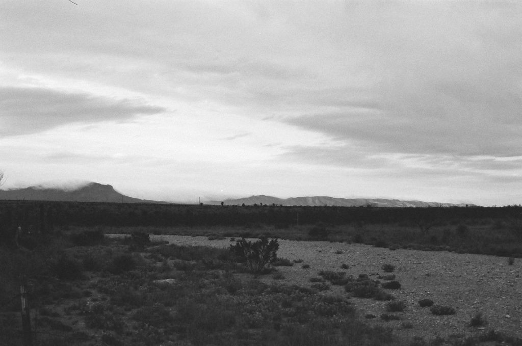
| Description | : | CAMP PEÑA COLORADO. Camp Peña Colorado, originally known as Cantonment Peña Colorado, was a post of the United States Army for almost fifteen years in the late 1800s. It was located about four miles southwest of the site of present-day Marathon in north central Brewster County. The post was built on Peña Colorada Creek near a large spring and beneath a high bluff called Peña Colorada (Spanish for "red rock," known also in English as Rainbow Cliffs), after which the creek, spring, and the army post itself were named (though the namers were not fastidious about Spanish grammatical gender). Camp Peña... Read More |
frequently asked questions (FAQ):
-
Where is Fort Pena Colorado Cemetery?
Fort Pena Colorado Cemetery is located at Marathon, Brewster County ,Texas ,USA.
-
Fort Pena Colorado Cemetery cemetery's updated grave count on graveviews.com?
0 memorials
-
Where are the coordinates of the Fort Pena Colorado Cemetery?
Latitude: 30.1828300
Longitude: -103.2600300
Nearby Cemetories:
1. Marathon Cemetery
Marathon, Brewster County, USA
Coordinate: 30.1970180, -103.2430320
2. Holy Angels Cemetery
Alpine, Brewster County, USA
Coordinate: 30.3600006, -103.6354980
3. Elm Grove Cemetery
Alpine, Brewster County, USA
Coordinate: 30.3585739, -103.6375122
4. Paisano Baptist Encampment
Alpine, Brewster County, USA
Coordinate: 30.2924230, -103.7973510
5. Terlingua Ranch Cemetery
Terlingua, Brewster County, USA
Coordinate: 29.4616000, -103.3826000
6. Green Wax Camp Cemetery
Brewster County, USA
Coordinate: 29.4057800, -103.1052950
7. Nina Marie Seawell Hannold Gravesite
Brewster County, USA
Coordinate: 29.3694020, -103.1674940
8. Study Butte Cemetery
Terlingua, Brewster County, USA
Coordinate: 29.3132880, -103.5249610
9. Terlingua Cemetery
Terlingua, Brewster County, USA
Coordinate: 29.3197994, -103.6123962
10. Rice Cemetery
Brewster County, USA
Coordinate: 29.2455997, -103.1318970
11. La Noria Cemetery
Brewster County, USA
Coordinate: 29.2484050, -103.0263025
12. Juan De Leon Gravesite
Brewster County, USA
Coordinate: 29.2465610, -103.0191900
13. Valenzuela Ranch Cemetery
Terlingua, Brewster County, USA
Coordinate: 29.2236800, -103.5816010
14. Terlingua de Abajo Cemetery
Terlingua Abaja, Brewster County, USA
Coordinate: 29.2170550, -103.5989530
15. Dryden Ranch Cemetery
Brewster County, USA
Coordinate: 29.2169360, -103.5991290
16. Glenn Springs Cemetery
Brewster County, USA
Coordinate: 29.1741910, -103.1581210
17. Lajitas Cemetery
Brewster County, USA
Coordinate: 29.2623005, -103.7745972
18. Chatta's Store Cemetery
Boquillas Crossing, Brewster County, USA
Coordinate: 29.1931830, -102.9438930
19. Terlingua Abajo Campground
Terlingua, Brewster County, USA
Coordinate: 29.1981970, -103.6034530
20. Jesse M. Parker Gravesite
Brewster County, USA
Coordinate: 29.1933050, -102.9316380
21. Boqullias Crossing
Boquillas Crossing, Brewster County, USA
Coordinate: 29.1884000, -102.9490200
22. Terlingua Abaja II Cemetery
Terlingua Abaja, Brewster County, USA
Coordinate: 29.1878450, -103.6107320
23. San Vicente Cemetery
Brewster County, USA
Coordinate: 29.1557100, -103.0189420
24. Boqullias
Las Boquillas, Hidalgo del Parral Municipality, Mexico
Coordinate: 29.1653500, -102.9508200