
| Memorials | : | 0 |
| Location | : | Terlingua, Brewster County, USA |
| Coordinate | : | 29.1981970, -103.6034530 |
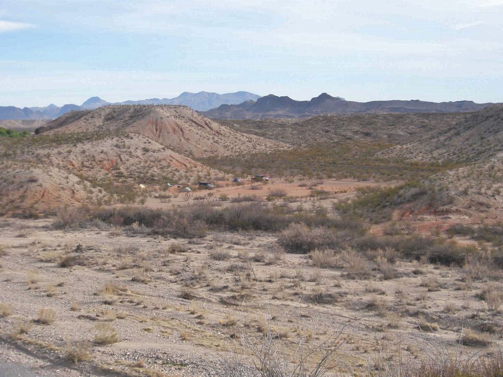
| Description | : | The Terlingua Abajo Campground is a primitive camp site located inside Big Bend National Park, on the eastern bank of Terlingua Creek, north of Santa Elena Canyon. The camp is surrounded by four hills, to the north, east, south and west. Each of these hilltops contains from one to four grave sites. There are a total of 8 graves scattered across the four hilltops around the campground. This was the northern edge of the Terlingua Abaja Mexican farming village which was abandoned in the 1930's when the National Park Service took over the land. The ruins... Read More |
frequently asked questions (FAQ):
-
Where is Terlingua Abajo Campground?
Terlingua Abajo Campground is located at Terlingua, Brewster County ,Texas ,USA.
-
Terlingua Abajo Campground cemetery's updated grave count on graveviews.com?
0 memorials
-
Where are the coordinates of the Terlingua Abajo Campground?
Latitude: 29.1981970
Longitude: -103.6034530
Nearby Cemetories:
1. Terlingua Abaja II Cemetery
Terlingua Abaja, Brewster County, USA
Coordinate: 29.1878450, -103.6107320
2. Dryden Ranch Cemetery
Brewster County, USA
Coordinate: 29.2169360, -103.5991290
3. Terlingua de Abajo Cemetery
Terlingua Abaja, Brewster County, USA
Coordinate: 29.2170550, -103.5989530
4. Valenzuela Ranch Cemetery
Terlingua, Brewster County, USA
Coordinate: 29.2236800, -103.5816010
5. Coyote Cemetery
Brewster County, USA
Coordinate: 29.1495750, -103.5430960
6. La Coyota Burial Site
Castolon, Brewster County, USA
Coordinate: 29.1459250, -103.5370170
7. Castolon Cemetery
Castolon, Brewster County, USA
Coordinate: 29.1339870, -103.5108100
8. El Ojito Cemetery
Castolon, Brewster County, USA
Coordinate: 29.1244320, -103.5036250
9. Terlingua Cemetery
Terlingua, Brewster County, USA
Coordinate: 29.3197994, -103.6123962
10. Study Butte Cemetery
Terlingua, Brewster County, USA
Coordinate: 29.3132880, -103.5249610
11. Lajitas Cemetery
Brewster County, USA
Coordinate: 29.2623005, -103.7745972
12. Sierra Chino Burial Site
Sierra Chino, Brewster County, USA
Coordinate: 29.0415820, -103.4155680
13. Panteón Municipal de Manuel Benavides
Manuel Benavides, Manuel Benavides Municipality, Mexico
Coordinate: 29.1040780, -103.9081030
14. Terlingua Ranch Cemetery
Terlingua, Brewster County, USA
Coordinate: 29.4616000, -103.3826000
15. Woodson's Cemetery
Brewster County, USA
Coordinate: 29.0076110, -103.2934410
16. Glenn Springs Cemetery
Brewster County, USA
Coordinate: 29.1741910, -103.1581210
17. Rice Cemetery
Brewster County, USA
Coordinate: 29.2455997, -103.1318970
18. Nina Marie Seawell Hannold Gravesite
Brewster County, USA
Coordinate: 29.3694020, -103.1674940
19. Solis Burial Site
Solis Landing, Brewster County, USA
Coordinate: 29.0593720, -103.1107950
20. Green Wax Camp Cemetery
Brewster County, USA
Coordinate: 29.4057800, -103.1052950
21. La Noria Cemetery
Brewster County, USA
Coordinate: 29.2484050, -103.0263025
22. San Vicente Crossing Cemetery
San Vicente Crossing, Brewster County, USA
Coordinate: 29.1326220, -103.0225550
23. San Vicente Cemetery
Brewster County, USA
Coordinate: 29.1557100, -103.0189420
24. Juan De Leon Gravesite
Brewster County, USA
Coordinate: 29.2465610, -103.0191900