
| Memorials | : | 0 |
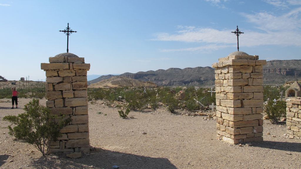
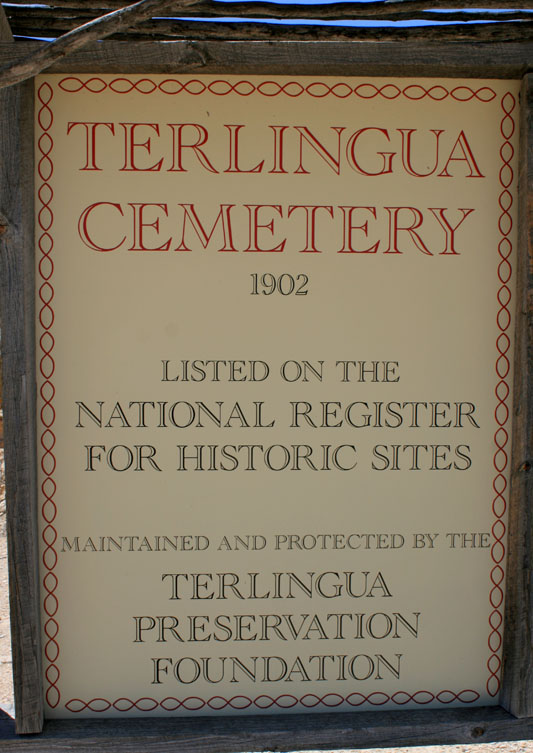
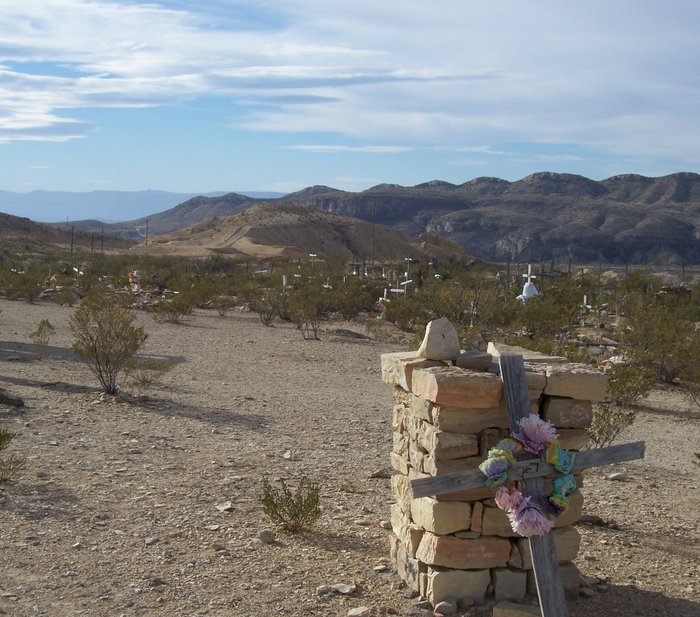
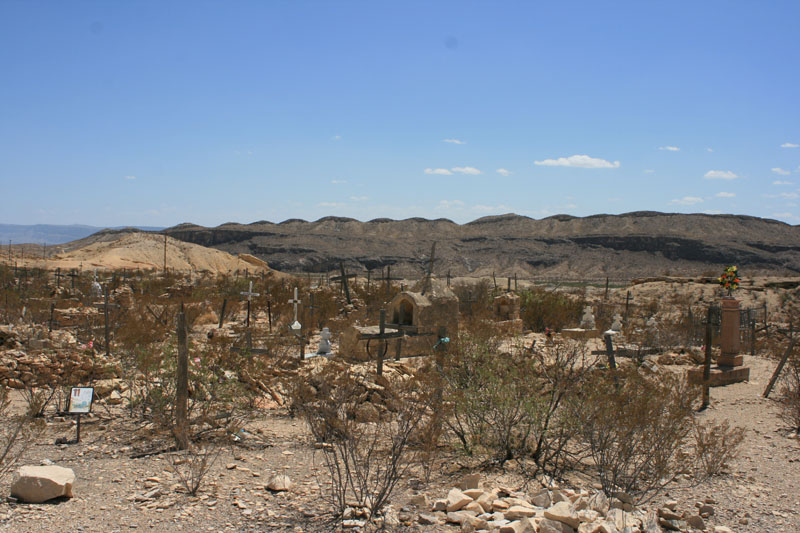
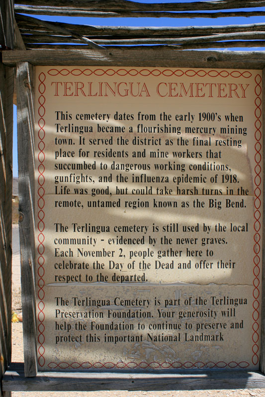
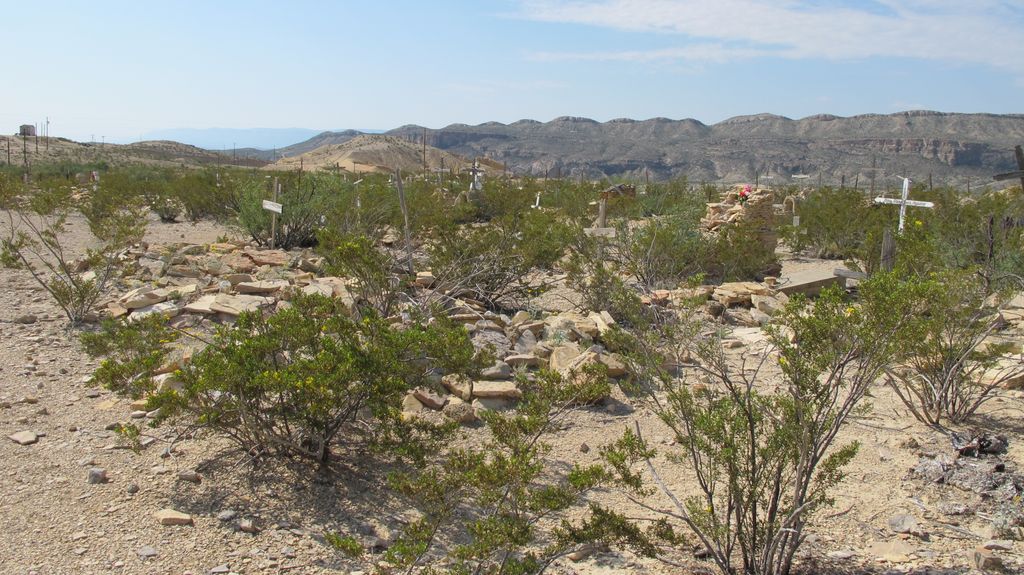
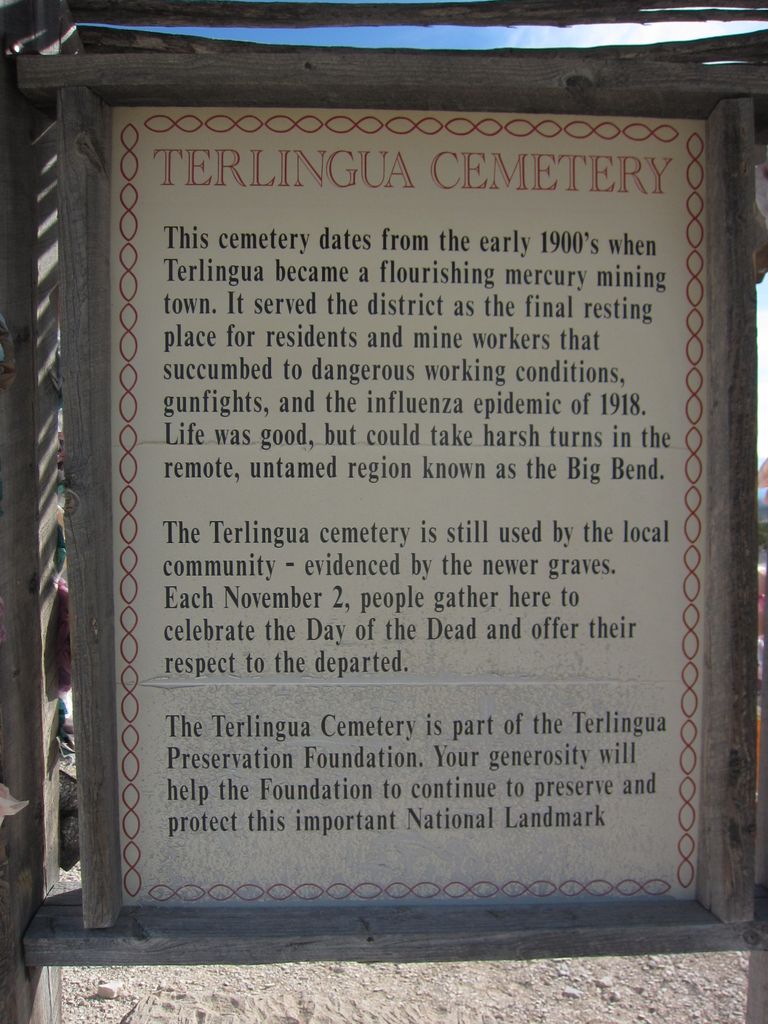
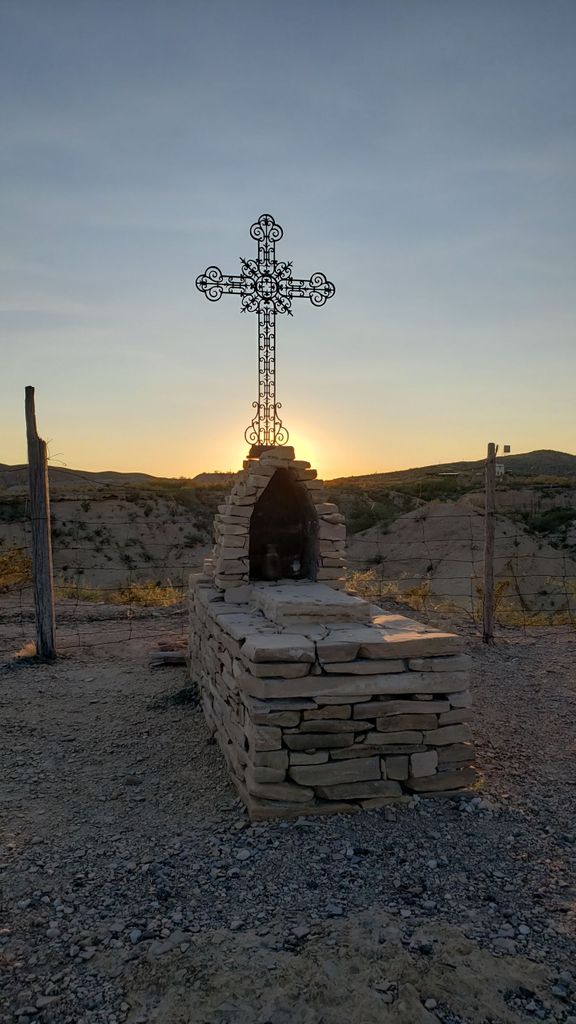
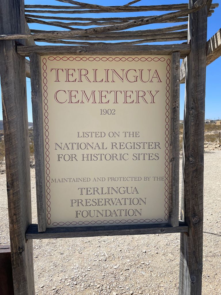
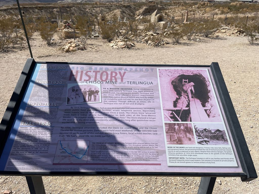
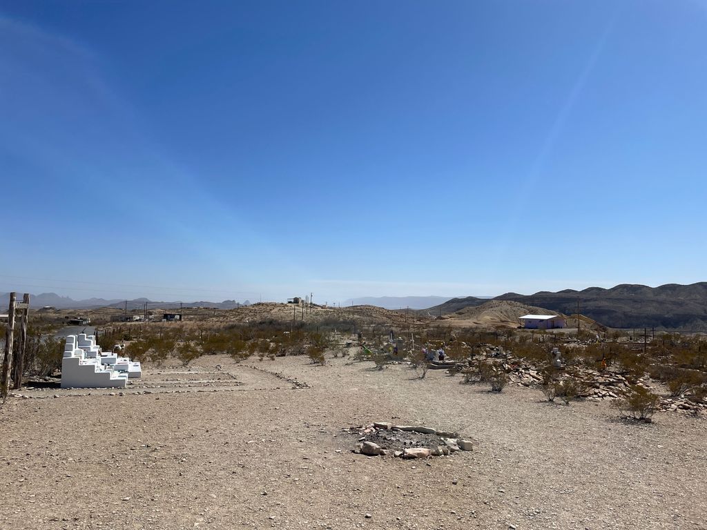
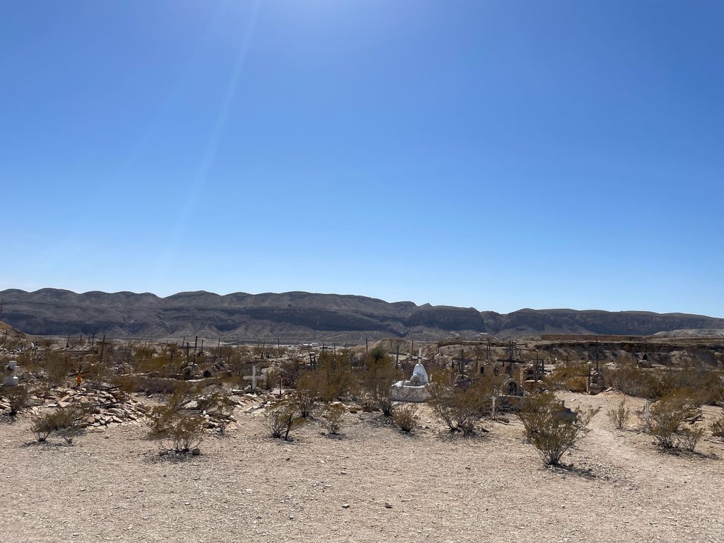
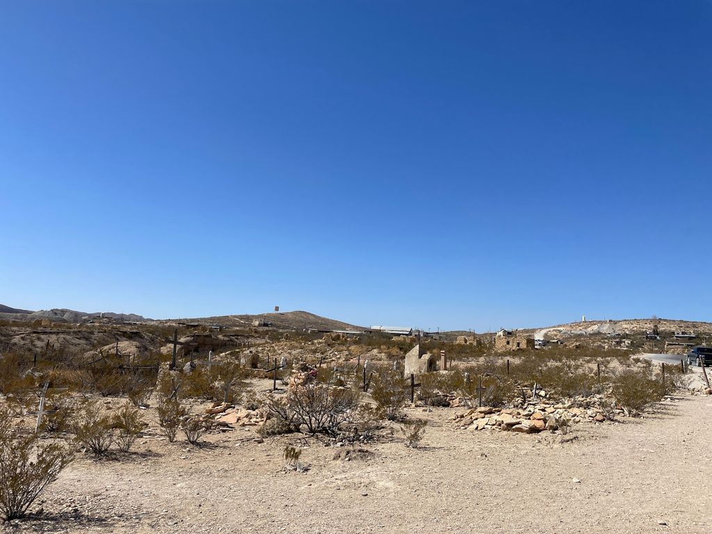
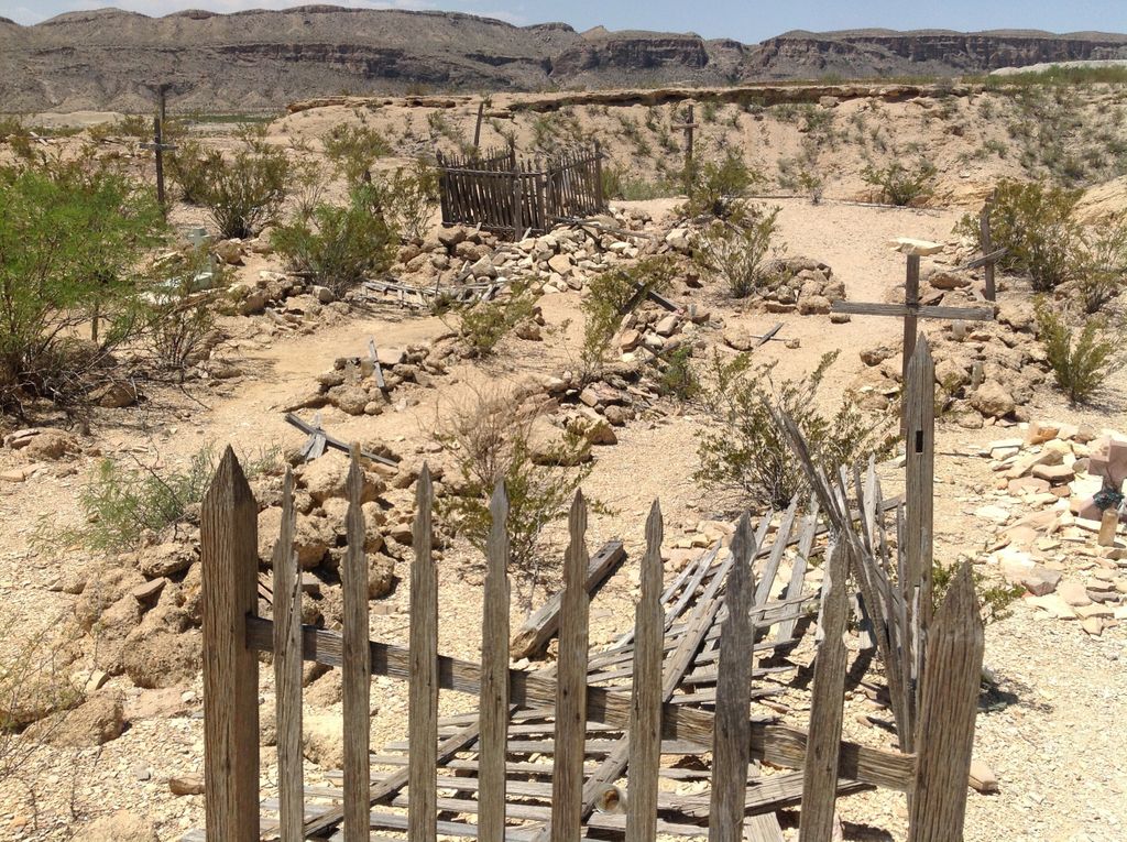
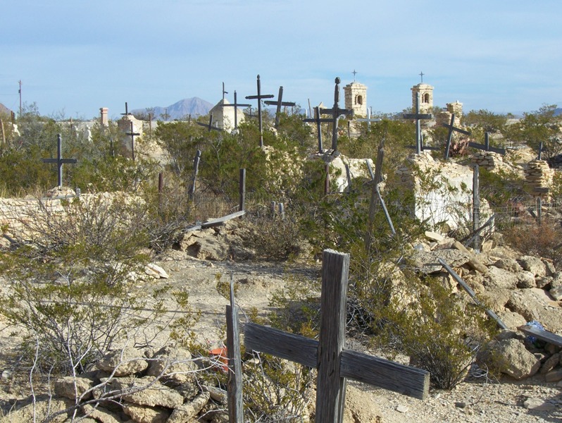
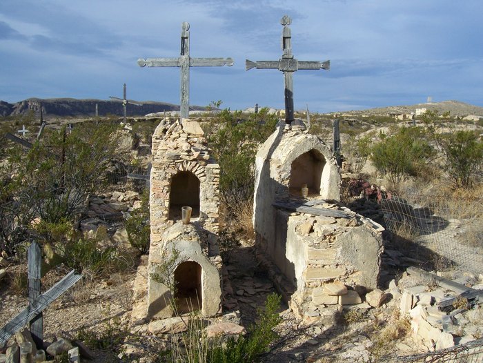
| Location | : | Terlingua, Brewster County, USA |
| Coordinate | : | 29.3197994, -103.6123962 |
frequently asked questions (FAQ):
-
Where is Terlingua Cemetery?
Terlingua Cemetery is located at Terlingua, Brewster County ,Texas ,USA.
-
Terlingua Cemetery cemetery's updated grave count on graveviews.com?
0 memorials
-
Where are the coordinates of the Terlingua Cemetery?
Latitude: 29.3197994
Longitude: -103.6123962


Nearby Cemetories:
1. Study Butte Cemetery
Terlingua, Brewster County, USA
Coordinate: 29.3132880, -103.5249610
2. Valenzuela Ranch Cemetery
Terlingua, Brewster County, USA
Coordinate: 29.2236800, -103.5816010
3. Terlingua de Abajo Cemetery
Terlingua Abaja, Brewster County, USA
Coordinate: 29.2170550, -103.5989530
4. Dryden Ranch Cemetery
Brewster County, USA
Coordinate: 29.2169360, -103.5991290
5. Terlingua Abajo Campground
Terlingua, Brewster County, USA
Coordinate: 29.1981970, -103.6034530
6. Terlingua Abaja II Cemetery
Terlingua Abaja, Brewster County, USA
Coordinate: 29.1878450, -103.6107320
7. Lajitas Cemetery
Brewster County, USA
Coordinate: 29.2623005, -103.7745972
8. Coyote Cemetery
Brewster County, USA
Coordinate: 29.1495750, -103.5430960
9. La Coyota Burial Site
Castolon, Brewster County, USA
Coordinate: 29.1459250, -103.5370170
10. Castolon Cemetery
Castolon, Brewster County, USA
Coordinate: 29.1339870, -103.5108100
11. El Ojito Cemetery
Castolon, Brewster County, USA
Coordinate: 29.1244320, -103.5036250
12. Terlingua Ranch Cemetery
Terlingua, Brewster County, USA
Coordinate: 29.4616000, -103.3826000
13. Sierra Chino Burial Site
Sierra Chino, Brewster County, USA
Coordinate: 29.0415820, -103.4155680
14. Panteón Municipal de Manuel Benavides
Manuel Benavides, Manuel Benavides Municipality, Mexico
Coordinate: 29.1040780, -103.9081030
15. Nina Marie Seawell Hannold Gravesite
Brewster County, USA
Coordinate: 29.3694020, -103.1674940
16. Woodson's Cemetery
Brewster County, USA
Coordinate: 29.0076110, -103.2934410
17. Glenn Springs Cemetery
Brewster County, USA
Coordinate: 29.1741910, -103.1581210
18. Rice Cemetery
Brewster County, USA
Coordinate: 29.2455997, -103.1318970
19. Green Wax Camp Cemetery
Brewster County, USA
Coordinate: 29.4057800, -103.1052950
20. Panteón Municipal de El Mulato
El Mulato, Ojinaga Municipality, Mexico
Coordinate: 29.3933680, -104.1727110
21. Solis Burial Site
Solis Landing, Brewster County, USA
Coordinate: 29.0593720, -103.1107950
22. La Noria Cemetery
Brewster County, USA
Coordinate: 29.2484050, -103.0263025
23. Juan De Leon Gravesite
Brewster County, USA
Coordinate: 29.2465610, -103.0191900
24. San Vicente Cemetery
Brewster County, USA
Coordinate: 29.1557100, -103.0189420