
| Memorials | : | 0 |
| Location | : | Freedom, Carroll County, USA |
| Coordinate | : | 43.8505900, -71.0066900 |
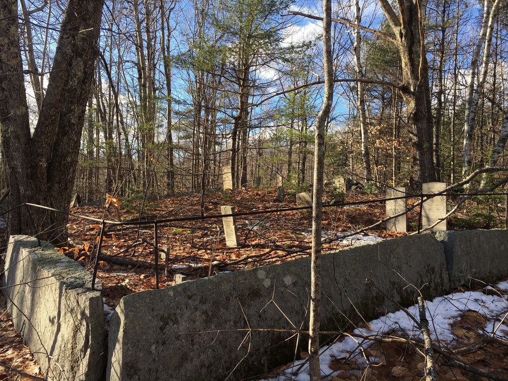
| Description | : | From its intersection with Swett Hill Road, drive east on Rice Hill Road almost 0.7 miles to a house on the right (south). Follow the driveway on the east side of the house back into the woods (south) about 100 yards. The cemetery is on the right (west) side of the driveway and is surrounded by a stone wall. |
frequently asked questions (FAQ):
-
Where is Brooks Cemetery?
Brooks Cemetery is located at Rice Hill Road Freedom, Carroll County ,New Hampshire , 03849USA.
-
Brooks Cemetery cemetery's updated grave count on graveviews.com?
0 memorials
-
Where are the coordinates of the Brooks Cemetery?
Latitude: 43.8505900
Longitude: -71.0066900
Nearby Cemetories:
1. Sargent Cemetery
Freedom, Carroll County, USA
Coordinate: 43.8489000, -70.9943000
2. Swett Hill Cemetery
Freedom, Carroll County, USA
Coordinate: 43.8547000, -71.0183000
3. Roberts Cemetery
Porter, Oxford County, USA
Coordinate: 43.8465200, -70.9853400
4. Sargent Cemetery
Porter, Oxford County, USA
Coordinate: 43.8487483, -70.9842183
5. Moses-Young Cemetery
Freedom, Carroll County, USA
Coordinate: 43.8504800, -71.0317500
6. Foss Cemetery
Freedom, Carroll County, USA
Coordinate: 43.8316670, -71.0080560
7. Drew Cemetery
Freedom, Carroll County, USA
Coordinate: 43.8607000, -71.0327000
8. Meserve and McDaniel Cemetery
Freedom, Carroll County, USA
Coordinate: 43.8272220, -71.0130560
9. Merrow-Gannett Cemetery
Eaton Center, Carroll County, USA
Coordinate: 43.8745200, -71.0153300
10. Wilkinson Cemetery
Eaton, Carroll County, USA
Coordinate: 43.8663900, -71.0331800
11. Raffy-Foote Cemetery
Porter, Oxford County, USA
Coordinate: 43.8447400, -70.9697000
12. Day-Stanley Cemetery
Porter, Oxford County, USA
Coordinate: 43.8457000, -70.9680300
13. Emery Cemetery
Porter, Oxford County, USA
Coordinate: 43.8410988, -70.9677963
14. Smart Cemetery
Freedom, Carroll County, USA
Coordinate: 43.8598700, -71.0483200
15. Allard Cemetery
Freedom, Carroll County, USA
Coordinate: 43.8599600, -71.0485000
16. Fowler Cemetery
Freedom, Carroll County, USA
Coordinate: 43.8205900, -71.0207400
17. Fernald Cemetery
Eaton, Carroll County, USA
Coordinate: 43.8825600, -71.0159200
18. Currier-Wilkinson Cemetery
Eaton, Carroll County, USA
Coordinate: 43.8708500, -71.0433400
19. Watson Hill Cemetery
Freedom, Carroll County, USA
Coordinate: 43.8361000, -71.0486000
20. McCartee Cemetery
Porter, Oxford County, USA
Coordinate: 43.8844430, -70.9770440
21. Hubbard Cemetery
Porter, Oxford County, USA
Coordinate: 43.8228000, -70.9653000
22. Prospect Cemetery
Freedom, Carroll County, USA
Coordinate: 43.8147000, -71.0357000
23. Towle Cemetery
Freedom, Carroll County, USA
Coordinate: 43.8136000, -71.0336000
24. Stanley Cemetery
Porter, Oxford County, USA
Coordinate: 43.8761200, -70.9606900