
| Memorials | : | 14 |
| Location | : | Freedom Township, Henry County, USA |
| Coordinate | : | 41.4752970, -84.2069960 |
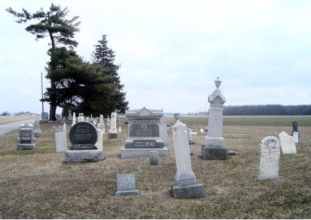
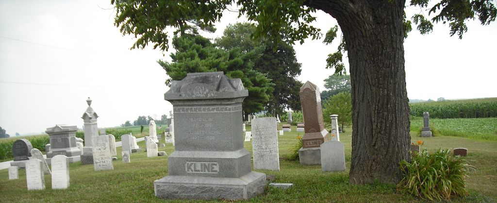
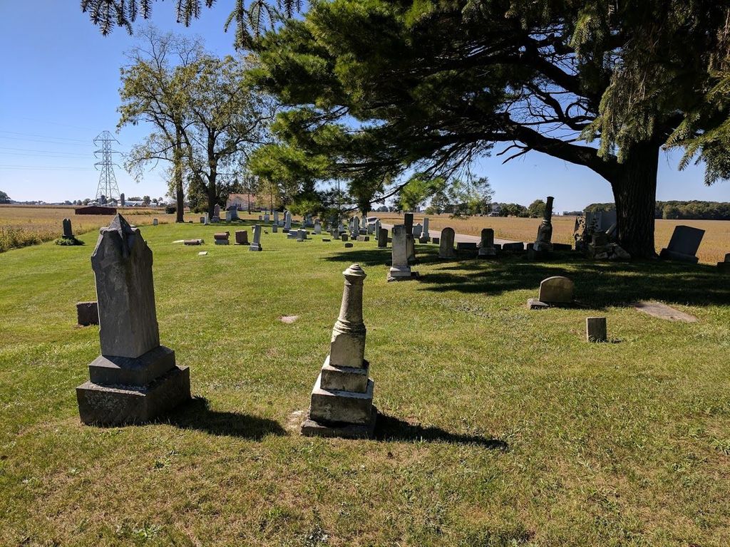
| Description | : | The cemetery is located on the south side of County Road X / County Road 10 about 0.25 miles east of its intersection with Township Road 18. The cemetery is 1.5 acres in size. The cemetery is located in Freedom Township, Henry County, Ohio, and is # 5075 (Freedom Cemetery / Freedom Township Cemetery / Klines United Brethren Cemetery) in “Ohio Cemeteries 1803-2003”, compiled by the Ohio Genealogical Society. The cemetery is registered with the Ohio Division of Real Estate and Professional Licensing (ODRE) as Freedom Township Cemetery with registration license number CGR.0000981278. The U.S. Geological Survey (USGS)... Read More |
frequently asked questions (FAQ):
-
Where is Freedom Township Cemetery?
Freedom Township Cemetery is located at County Road X / County Road 10 Freedom Township, Henry County ,Ohio , 43545USA.
-
Freedom Township Cemetery cemetery's updated grave count on graveviews.com?
14 memorials
-
Where are the coordinates of the Freedom Township Cemetery?
Latitude: 41.4752970
Longitude: -84.2069960
Nearby Cemetories:
1. Saint Johns Cemetery
Freedom Township, Henry County, USA
Coordinate: 41.4491997, -84.1727982
2. Aeschliman Cemetery
Pettisville, Fulton County, USA
Coordinate: 41.5147018, -84.2192001
3. Zion Lutheran Church Cemetery
Napoleon, Henry County, USA
Coordinate: 41.4414170, -84.2495930
4. Lena Cemetery
Fulton County, USA
Coordinate: 41.5175018, -84.1731033
5. Saint Peter Lutheran Cemetery
Ridgeville Township, Henry County, USA
Coordinate: 41.4389000, -84.2549973
6. Locust Grove Cemetery
Ridgeville Corners, Henry County, USA
Coordinate: 41.4389650, -84.2558060
7. Pettisville Union Cemetery
Pettisville, Fulton County, USA
Coordinate: 41.5294190, -84.2258910
8. Pettisville Cemetery
Pettisville, Fulton County, USA
Coordinate: 41.5302620, -84.2258690
9. Pettisville Lutheran Cemetery
Pettisville, Fulton County, USA
Coordinate: 41.5321900, -84.2237400
10. Saint Lukes Lutheran Church Cemetery
Fulton County, USA
Coordinate: 41.4963100, -84.1340700
11. Union Chapel Cemetery
Napoleon, Henry County, USA
Coordinate: 41.4166985, -84.1877975
12. Rupp Cemetery
Archbold, Fulton County, USA
Coordinate: 41.5140110, -84.2771370
13. Henry County Home Cemetery
Henry County, USA
Coordinate: 41.4212830, -84.1506900
14. Saint Pauls Cemetery
Napoleon, Henry County, USA
Coordinate: 41.4063290, -84.2163380
15. Saint Pauls Lutheran Cemetery
Napoleon, Henry County, USA
Coordinate: 41.4061060, -84.1900350
16. Archbold Cemetery
Archbold, Fulton County, USA
Coordinate: 41.5028000, -84.3058014
17. Saint James Lutheran Cemetery
Burlington, Fulton County, USA
Coordinate: 41.5428009, -84.2630997
18. Reform Cemetery
Archbold, Fulton County, USA
Coordinate: 41.5039790, -84.3061070
19. Bethlehem Lutheran Cemetery
Defiance County, USA
Coordinate: 41.4050120, -84.2608930
20. Wauseon Union Cemetery
Wauseon, Fulton County, USA
Coordinate: 41.5480995, -84.1564026
21. Saint Caspar Catholic Cemetery
Wauseon, Fulton County, USA
Coordinate: 41.5479500, -84.1557600
22. West Barre Cemetery
Fulton County, USA
Coordinate: 41.5168970, -84.1122450
23. Mikesell Cemetery
Wauseon, Fulton County, USA
Coordinate: 41.5511017, -84.1631012
24. Saint John Lutheran Church Cemetery
Ridgeville Township, Henry County, USA
Coordinate: 41.4425410, -84.3084650