
| Memorials | : | 0 |
| Location | : | Ifield, Crawley Borough, England |
| Coordinate | : | 51.1263400, -0.2120200 |
| Description | : | http://www.quaker.org.uk/ifield |
frequently asked questions (FAQ):
-
Where is Friends Meeting House?
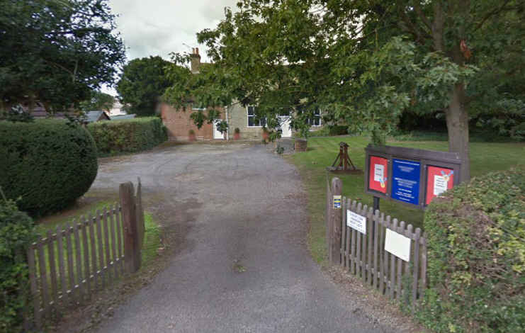
Friends Meeting House is located at 5 Langley Lane Ifield, Crawley Borough ,West Sussex , RH11 0NBEngland.
-
Friends Meeting House cemetery's updated grave count on graveviews.com?
0 memorials
-
Where are the coordinates of the Friends Meeting House?
Latitude: 51.1263400
Longitude: -0.2120200


Nearby Cemetories:
1. St Margaret of Antioch Churchyard
Ifield, Crawley Borough, England
Coordinate: 51.1238700, -0.2194760
2. Snell Hatch Cemetery
Crawley, Crawley Borough, England
Coordinate: 51.1164130, -0.2053970
3. St John the Baptist Church
Crawley, Crawley Borough, England
Coordinate: 51.1140840, -0.1892240
4. Friary Churchyard of St. Francis and St. Anthony
Crawley, Crawley Borough, England
Coordinate: 51.1133670, -0.1875970
5. Charlwood Friends Burial Ground
Charlwood, Mole Valley District, England
Coordinate: 51.1553700, -0.2305800
6. Surrey and Sussex Crematorium
Crawley, Crawley Borough, England
Coordinate: 51.1357000, -0.1469230
7. Saint Mary Magdalene Churchyard
Rusper, Horsham District, England
Coordinate: 51.1227750, -0.2789080
8. St Nicholas Churchyard
Worth, Mid Sussex District, England
Coordinate: 51.1102870, -0.1415280
9. St. Bartholomew's Churchyard
Horley, Reigate and Banstead Borough, England
Coordinate: 51.1698000, -0.1758000
10. St Saviour Churchyard
Colgate, Horsham District, England
Coordinate: 51.0817080, -0.2444000
11. Parish of Horley's New Churchyard
Horley, Reigate and Banstead Borough, England
Coordinate: 51.1711120, -0.1747610
12. St John the Evangelist Churchyard
Copthorne, Crawley Borough, England
Coordinate: 51.1394100, -0.1175700
13. St Peter Churchyard
Newdigate, Mole Valley District, England
Coordinate: 51.1652200, -0.2884860
14. St Bartholomew Churchyard
Burstow, Tandridge District, England
Coordinate: 51.1558610, -0.1247750
15. Pleystowe in Capel Friends Grounds
Capel, Mole Valley District, England
Coordinate: 51.1411900, -0.3161300
16. Roffey Cemetery
Horsham, Horsham District, England
Coordinate: 51.0769320, -0.2930890
17. St. John the Baptist Churchyard
Capel, Mole Valley District, England
Coordinate: 51.1539730, -0.3201980
18. Capel Friends Burial Ground #2
Capel, Mole Valley District, England
Coordinate: 51.1513970, -0.3219210
19. Smallfield Ebenezer Chapel Cemetery
Smallfield, Tandridge District, England
Coordinate: 51.1770230, -0.1151960
20. St Mary's Churchyard
Balcombe, Mid Sussex District, England
Coordinate: 51.0626380, -0.1362240
21. St Leonard's Church
Turners Hill, Mid Sussex District, England
Coordinate: 51.1023030, -0.0911310
22. All Saints Churchyard
Crawley Down, Mid Sussex District, England
Coordinate: 51.1211200, -0.0830650
23. Sidlow Bridge Emmanuel Churchyard
Sidlow, Reigate and Banstead Borough, England
Coordinate: 51.2077270, -0.1989510
24. St. Bartholomew's Churchyard
Leigh, Mole Valley District, England
Coordinate: 51.2085790, -0.2483520