
| Memorials | : | 156 |
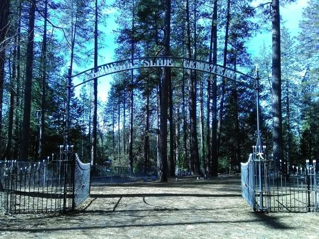
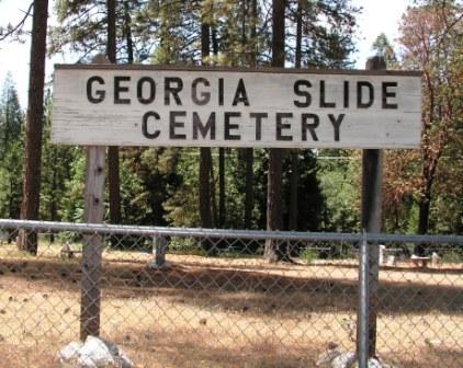
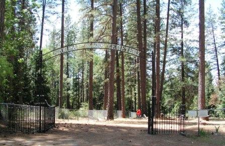
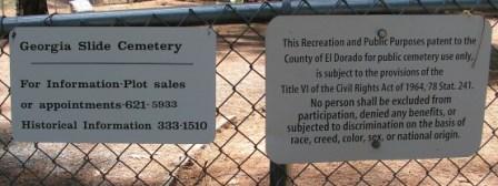
| Location | : | Georgetown, El Dorado County, USA |
| Coordinate | : | 38.9218063, -120.8377838 |
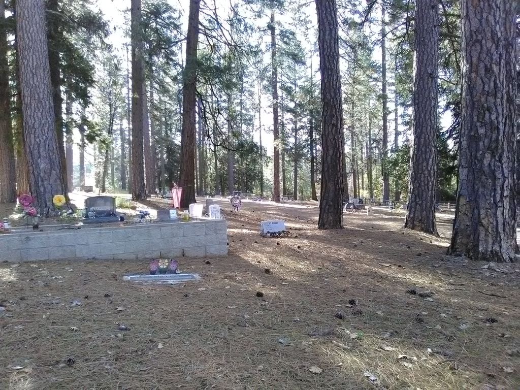
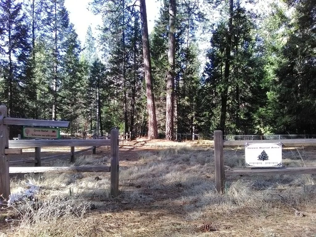
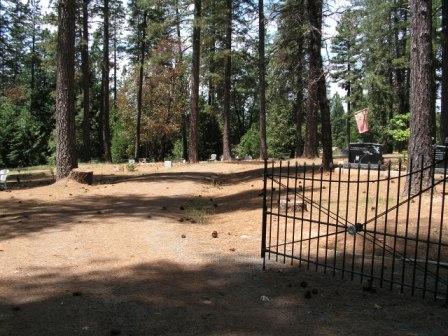
| Description | : | Just north of the historic town of Georgetown |
frequently asked questions (FAQ):
-
Where is Georgia Slide Cemetery?
Georgia Slide Cemetery is located at 2463 Georgia Slide Road Georgetown, El Dorado County ,California ,USA.
-
Georgia Slide Cemetery cemetery's updated grave count on graveviews.com?
156 memorials
-
Where are the coordinates of the Georgia Slide Cemetery?
Latitude: 38.9218063
Longitude: -120.8377838
Nearby Cemetories:
1. Georgetown Pioneer Cemetery
Georgetown, El Dorado County, USA
Coordinate: 38.9068108, -120.8430862
2. Carmelite Monastery Cemetery
Georgetown, El Dorado County, USA
Coordinate: 38.9273300, -120.8173840
3. Greenwood Pioneer Cemetery
Greenwood, El Dorado County, USA
Coordinate: 38.8985786, -120.9099274
4. Georgetown-Renke Cemetery Annex
Georgetown, El Dorado County, USA
Coordinate: 38.8964610, -120.9116240
5. Spanish Dry Diggings Cemetery
Greenwood, El Dorado County, USA
Coordinate: 38.9431600, -120.9158000
6. Josephine Mine Cemetery
Volcanoville, El Dorado County, USA
Coordinate: 38.9798000, -120.7892170
7. Todd Valley Cemetery
Placer County, USA
Coordinate: 38.9970900, -120.8541000
8. Alabama Flat Cemetery
Garden Valley, El Dorado County, USA
Coordinate: 38.8413660, -120.8770510
9. Spring Garden Indian Cemetery
Foresthill, Placer County, USA
Coordinate: 38.9998620, -120.9049310
10. Foresthill Community Cemetery
Foresthill, Placer County, USA
Coordinate: 39.0184500, -120.8114700
11. Saint Joseph Catholic Cemetery
Foresthill, Placer County, USA
Coordinate: 39.0240200, -120.8068800
12. Yankee Jims Cemetery
Foresthill, Placer County, USA
Coordinate: 39.0292511, -120.8614349
13. Stoney Bar Cemetery
Foresthill, Placer County, USA
Coordinate: 39.0114980, -120.7408060
14. Esoteric Fraternity Cemetery
Applegate, Placer County, USA
Coordinate: 38.9946190, -120.9687490
15. Kelsey Cemetery
Kelsey, El Dorado County, USA
Coordinate: 38.7949791, -120.8200073
16. Saint John's Catholic Churchyard
Coloma, El Dorado County, USA
Coordinate: 38.7975311, -120.8919678
17. James Marshall Monument and Gravesite
Coloma, El Dorado County, USA
Coordinate: 38.7963104, -120.8953781
18. Pioneer Cemetery
Coloma, El Dorado County, USA
Coordinate: 38.7943192, -120.8894577
19. Uniontown Cemetery
Lotus, El Dorado County, USA
Coordinate: 38.7994003, -120.9111023
20. Indian Creek Cemetery
Coloma, El Dorado County, USA
Coordinate: 38.7974230, -120.9104530
21. Michigan Bluff Cemetery
Placer County, USA
Coordinate: 39.0409400, -120.7401200
22. Deadwood Cemetery
Foresthill, Placer County, USA
Coordinate: 39.0447700, -120.7361200
23. Odd Fellows Cemetery
Michigan Bluff, Placer County, USA
Coordinate: 39.0449240, -120.7361840
24. Dickinson Family Cemetery
Placerville, El Dorado County, USA
Coordinate: 38.7970450, -120.7269010