
| Memorials | : | 225 |
| Location | : | Foresthill, Placer County, USA |
| Coordinate | : | 39.0240200, -120.8068800 |
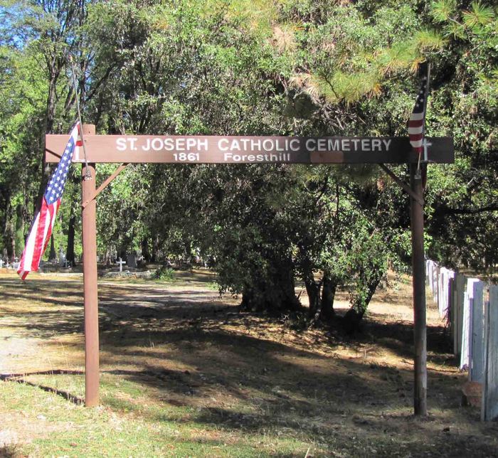
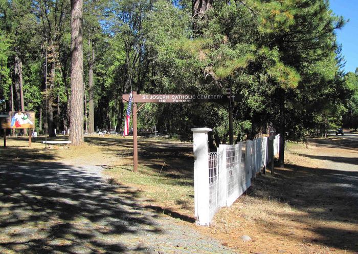
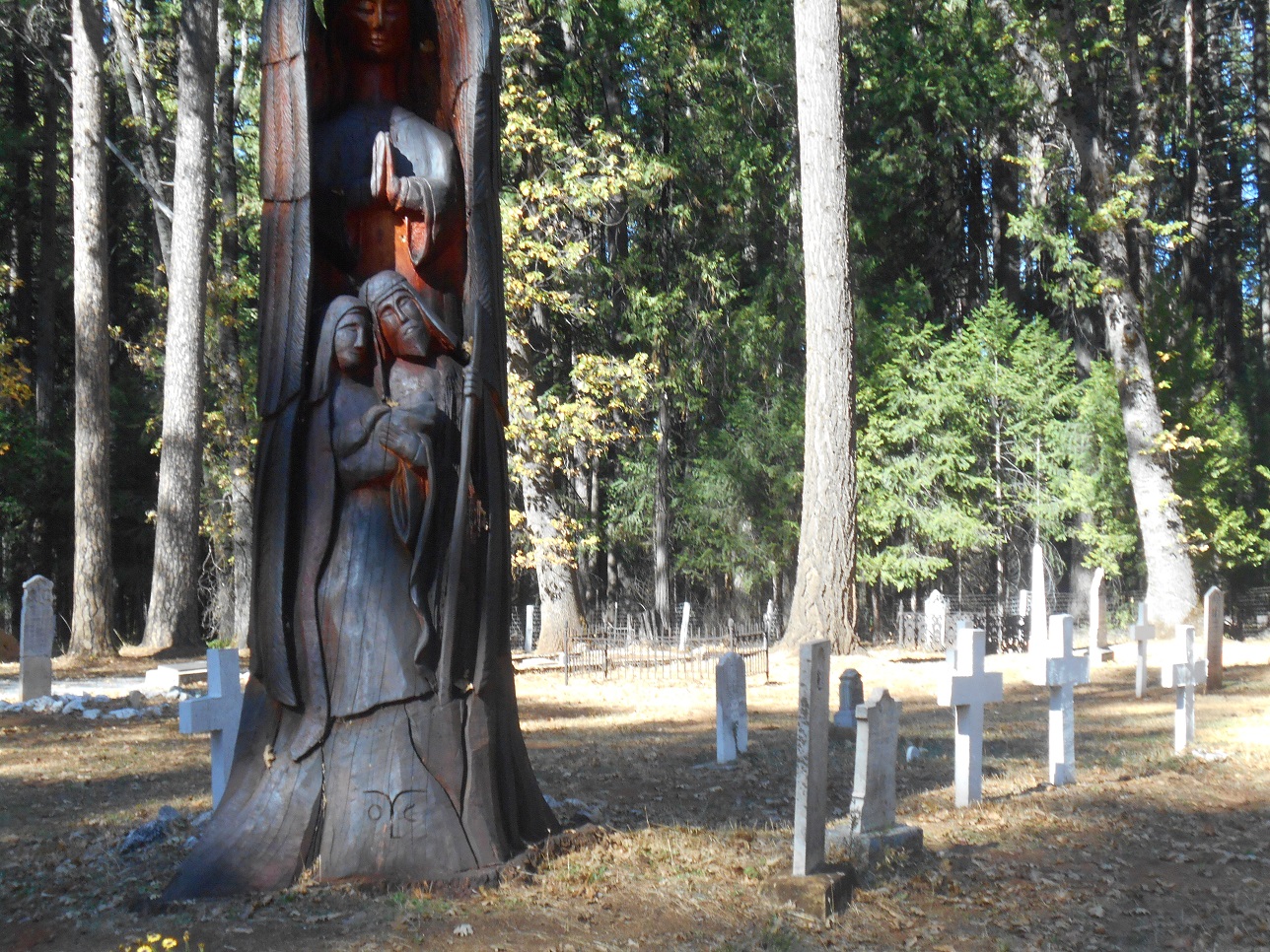
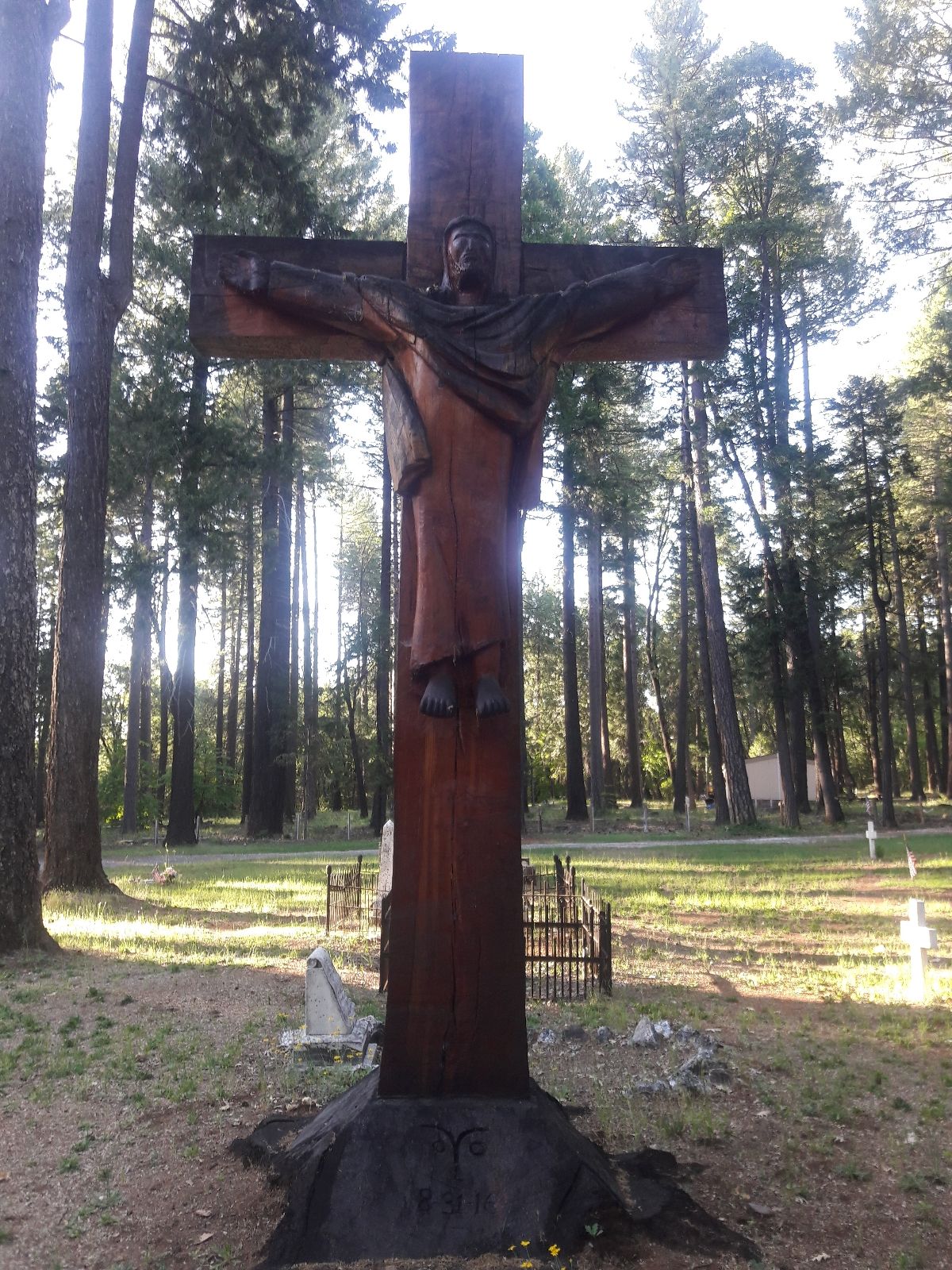
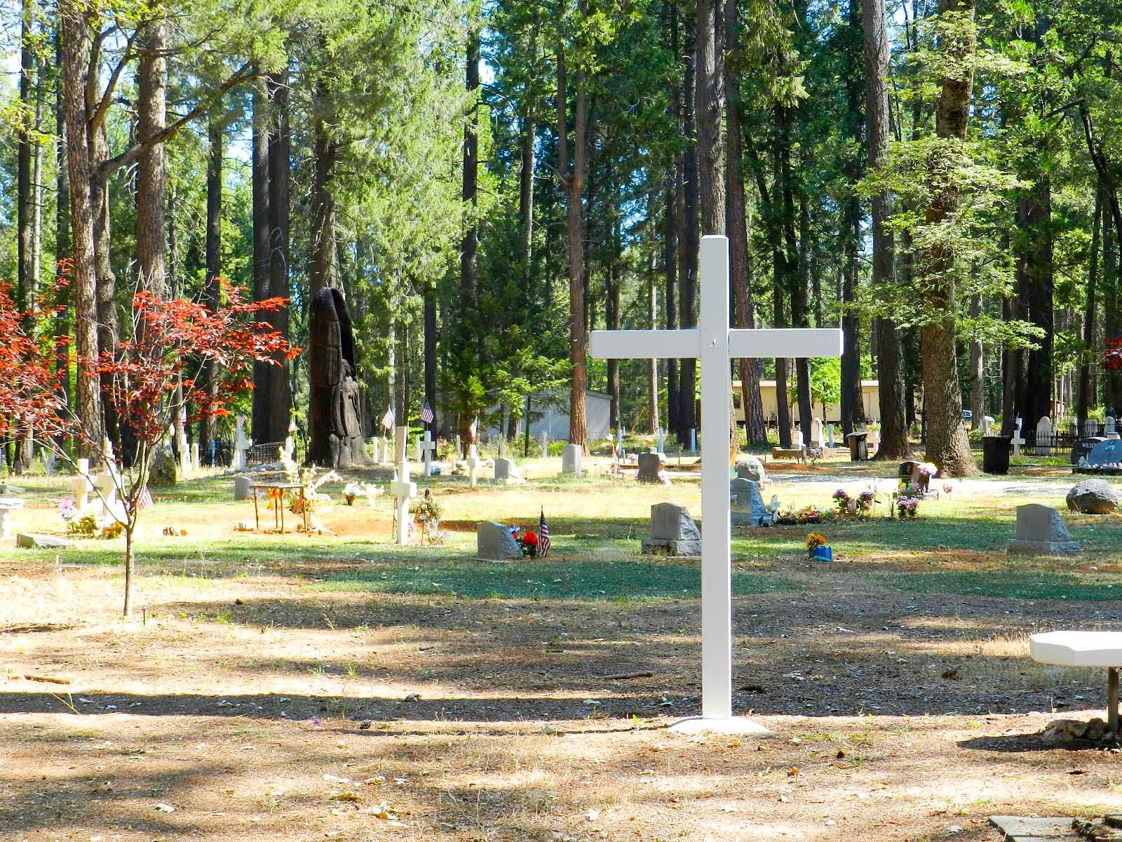
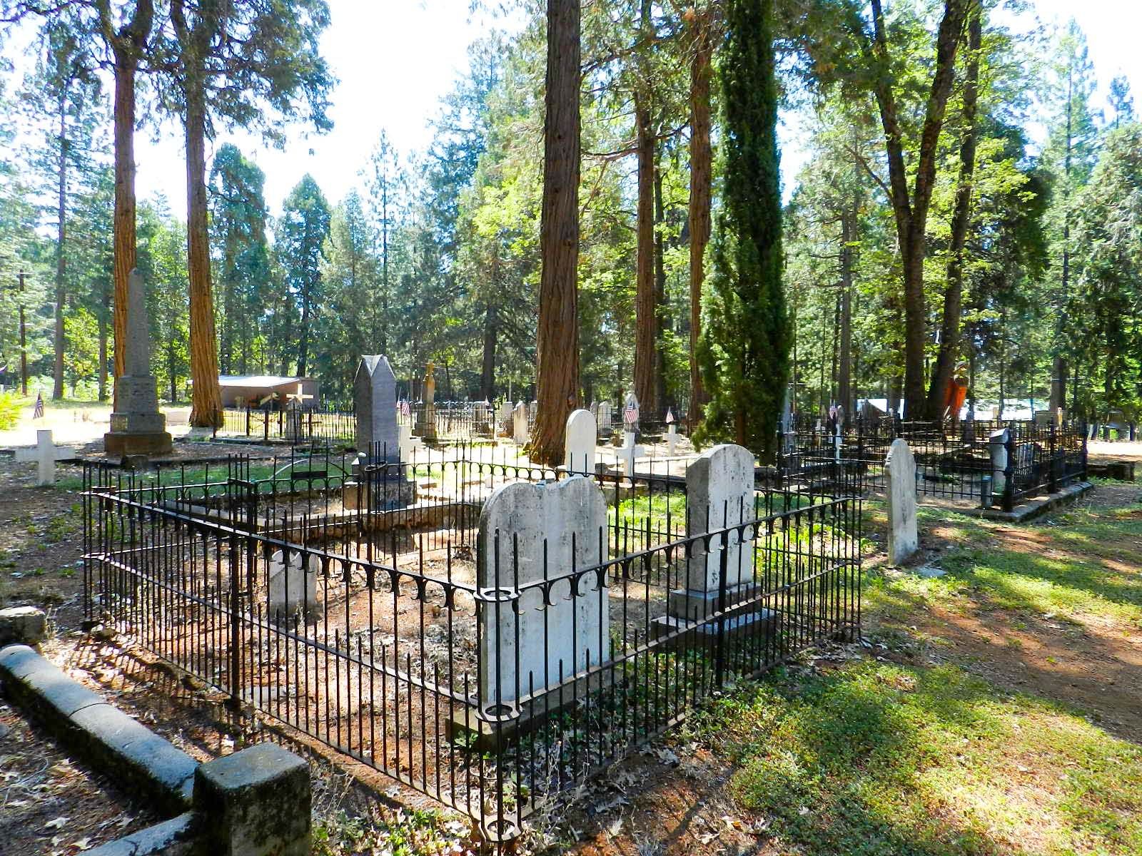
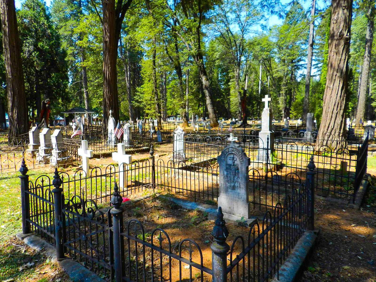
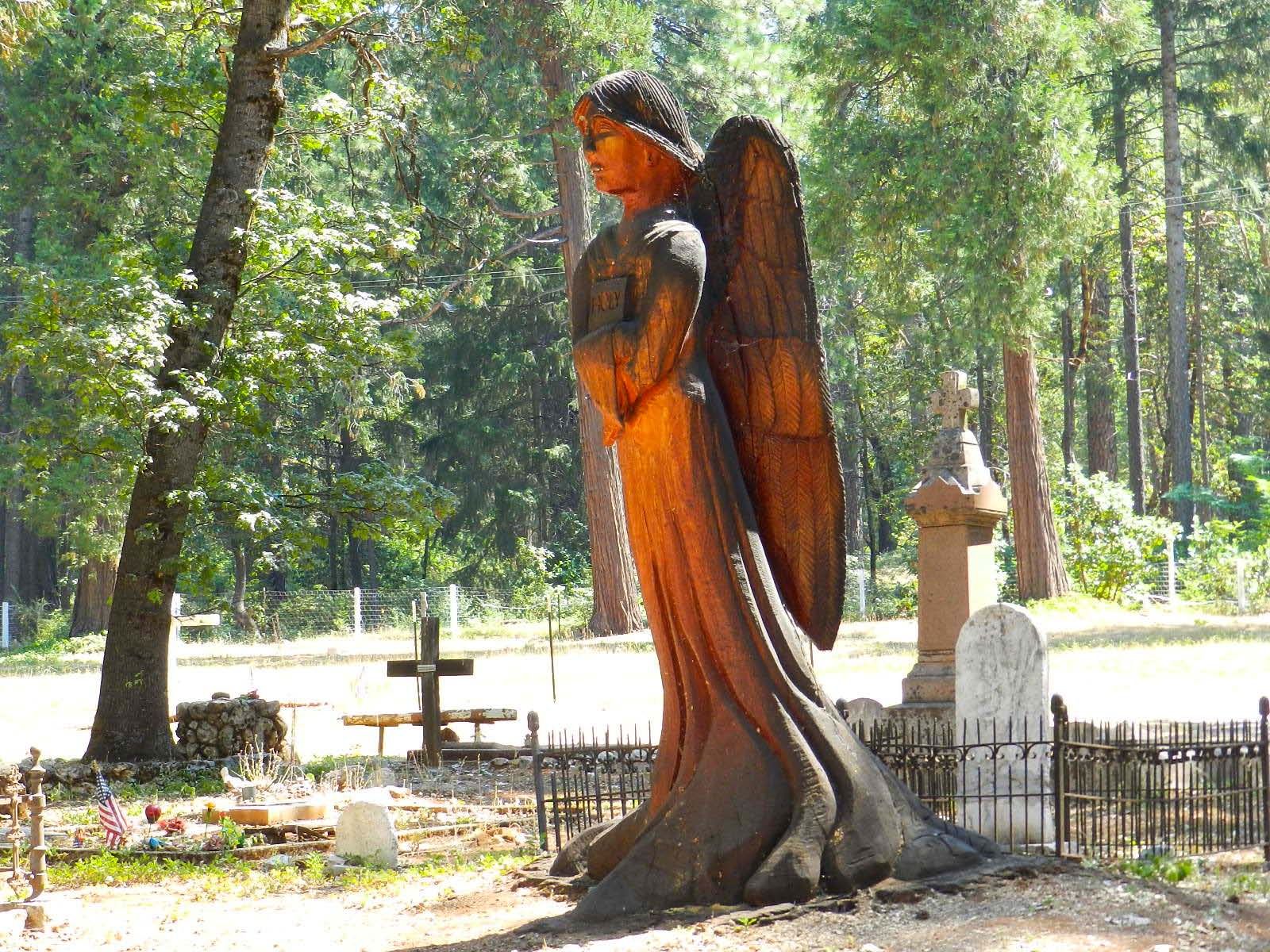
| Description | : | In 1858, a church mission was dedicated under the patronage of St. Joseph in the town of Foresthill. The mission was elevated to parish status on July 14, 1861. It had its own church on a two-acre parcel, a separate parish school (est. 1861), and a cemetery east of town (est. 1858) on three acres of land. The St. Joseph Catholic Church in Foresthill was the principle Catholic Church in Placer County at the time. The parochial setting in Foresthill would remain unchanged until 1903 when its parish status was formally suppressed due to declining population and the inability of... Read More |
frequently asked questions (FAQ):
-
Where is Saint Joseph Catholic Cemetery?
Saint Joseph Catholic Cemetery is located at Foresthill, Placer County ,California ,USA.
-
Saint Joseph Catholic Cemetery cemetery's updated grave count on graveviews.com?
225 memorials
-
Where are the coordinates of the Saint Joseph Catholic Cemetery?
Latitude: 39.0240200
Longitude: -120.8068800
Nearby Cemetories:
1. Foresthill Community Cemetery
Foresthill, Placer County, USA
Coordinate: 39.0184500, -120.8114700
2. Yankee Jims Cemetery
Foresthill, Placer County, USA
Coordinate: 39.0292511, -120.8614349
3. Todd Valley Cemetery
Placer County, USA
Coordinate: 38.9970900, -120.8541000
4. Josephine Mine Cemetery
Volcanoville, El Dorado County, USA
Coordinate: 38.9798000, -120.7892170
5. Stoney Bar Cemetery
Foresthill, Placer County, USA
Coordinate: 39.0114980, -120.7408060
6. Michigan Bluff Cemetery
Placer County, USA
Coordinate: 39.0409400, -120.7401200
7. Deadwood Cemetery
Foresthill, Placer County, USA
Coordinate: 39.0447700, -120.7361200
8. Odd Fellows Cemetery
Michigan Bluff, Placer County, USA
Coordinate: 39.0449240, -120.7361840
9. Spring Garden Indian Cemetery
Foresthill, Placer County, USA
Coordinate: 38.9998620, -120.9049310
10. Saint Dominics Catholic Cemetery
Iowa Hill, Placer County, USA
Coordinate: 39.1108880, -120.8568740
11. Iowa Hill Chinese Cemetery
Iowa Hill, Placer County, USA
Coordinate: 39.1113090, -120.8573260
12. Old Iowa Hill Cemetery
Iowa Hill, Placer County, USA
Coordinate: 39.1116667, -120.8575000
13. Carmelite Monastery Cemetery
Georgetown, El Dorado County, USA
Coordinate: 38.9273300, -120.8173840
14. Georgia Slide Cemetery
Georgetown, El Dorado County, USA
Coordinate: 38.9218063, -120.8377838
15. Spanish Dry Diggings Cemetery
Greenwood, El Dorado County, USA
Coordinate: 38.9431600, -120.9158000
16. Georgetown Pioneer Cemetery
Georgetown, El Dorado County, USA
Coordinate: 38.9068108, -120.8430862
17. Esoteric Fraternity Cemetery
Applegate, Placer County, USA
Coordinate: 38.9946190, -120.9687490
18. Colfax Indian Cemetery
Colfax, Placer County, USA
Coordinate: 39.0909900, -120.9503000
19. Colfax Cemetery
Colfax, Placer County, USA
Coordinate: 39.0979522, -120.9471644
20. Weimar Sanatorium Cemetery
Weimar, Placer County, USA
Coordinate: 39.0350200, -120.9834400
21. Greenwood Pioneer Cemetery
Greenwood, El Dorado County, USA
Coordinate: 38.8985786, -120.9099274
22. Georgetown-Renke Cemetery Annex
Georgetown, El Dorado County, USA
Coordinate: 38.8964610, -120.9116240
23. Gold Run Cemetery
Placer County, USA
Coordinate: 39.1757100, -120.8612900
24. Last Chance Cemetery
Last Chance, Placer County, USA
Coordinate: 39.1111900, -120.6254100