
| Memorials | : | 719 |
| Location | : | Foresthill, Placer County, USA |
| Coordinate | : | 39.0184500, -120.8114700 |
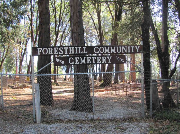
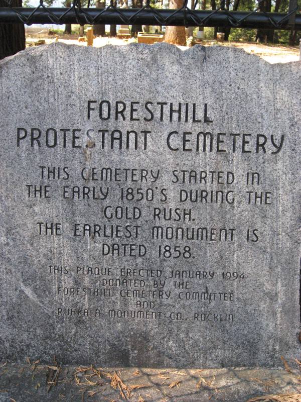
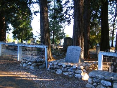
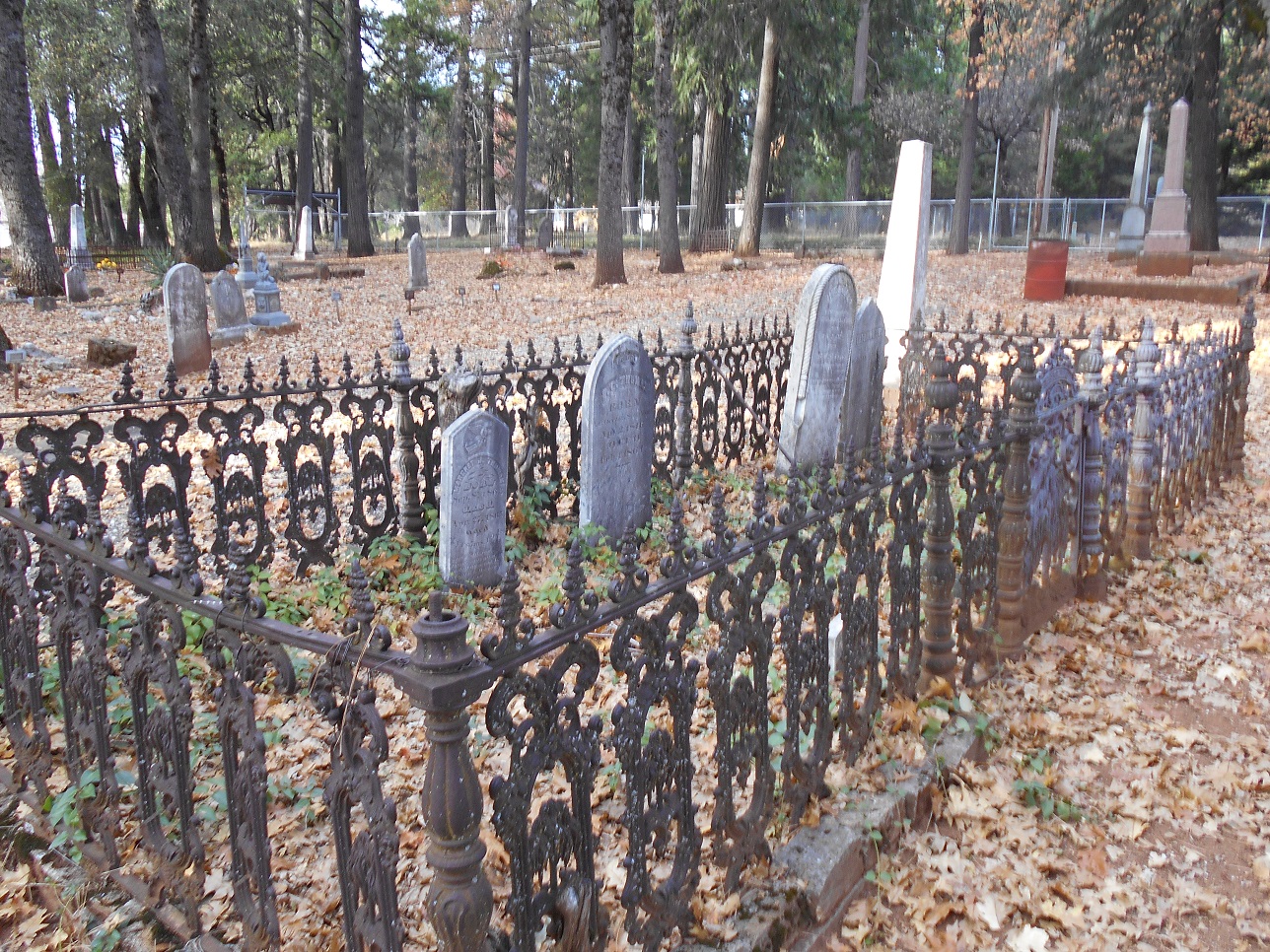
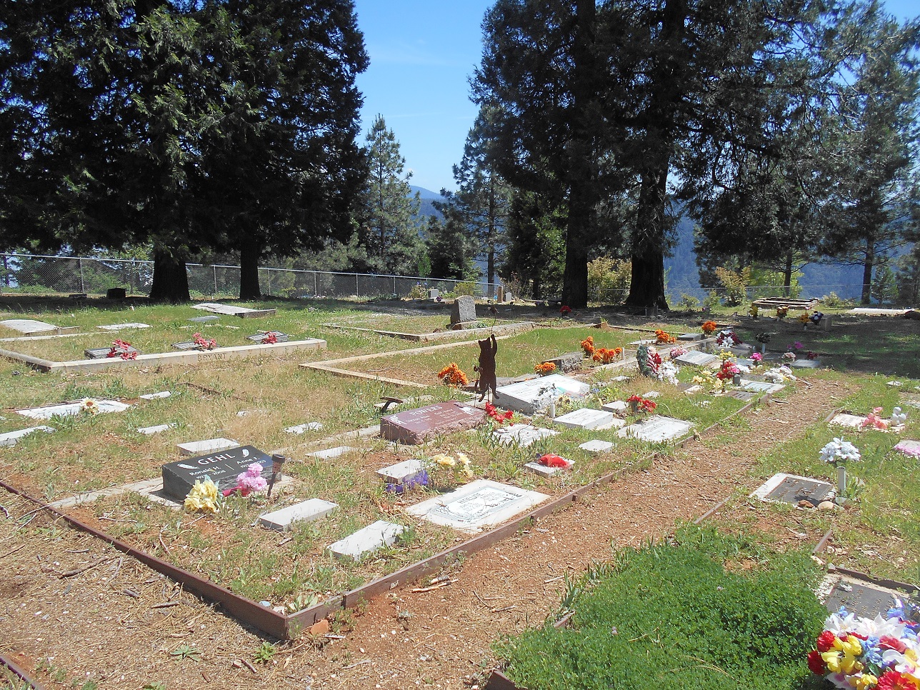
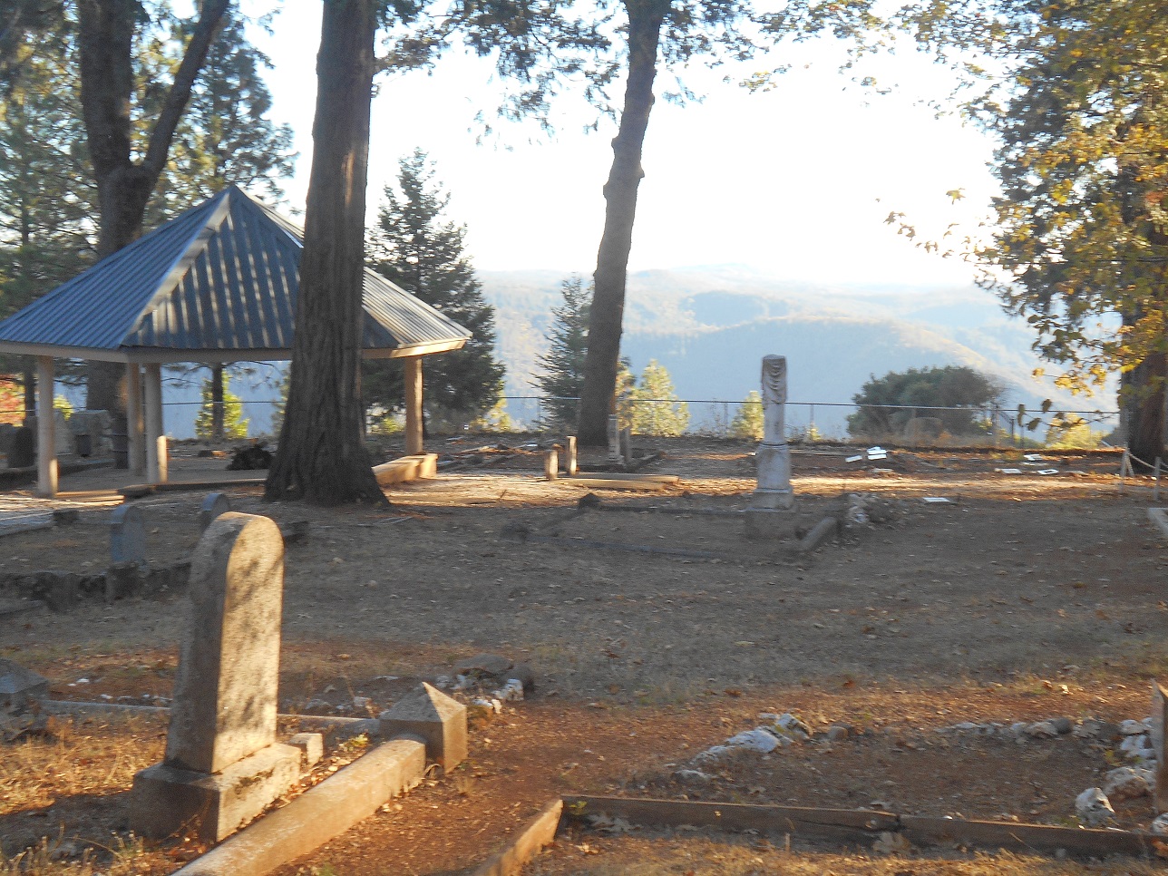
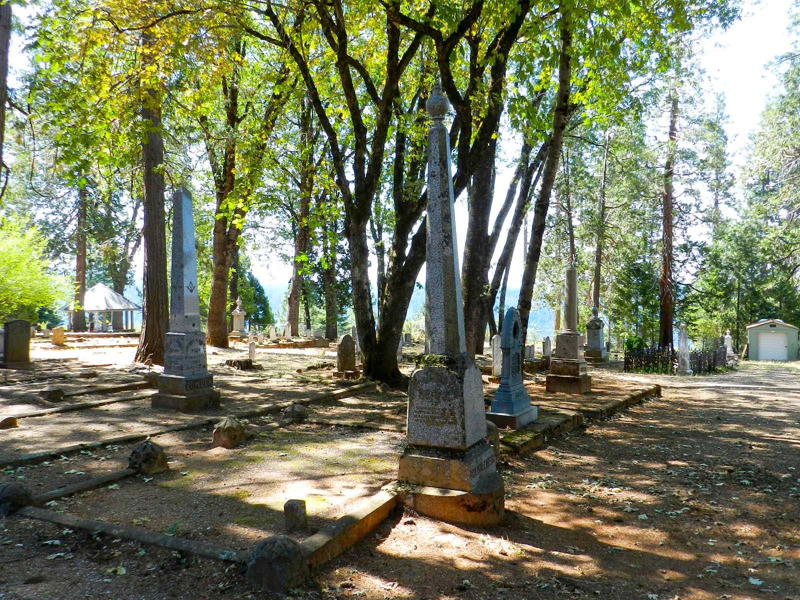
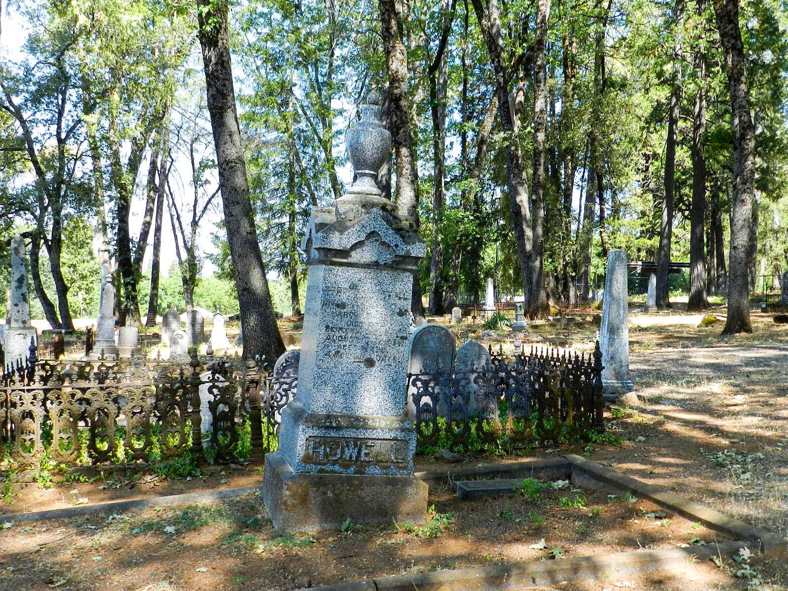
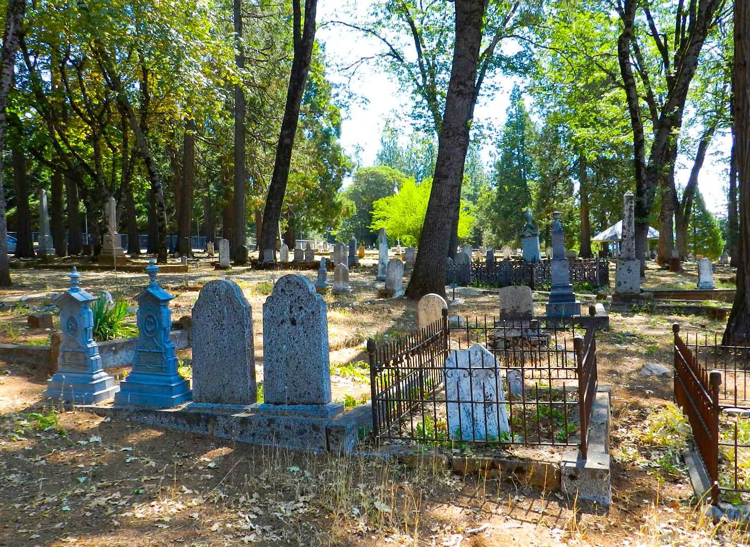
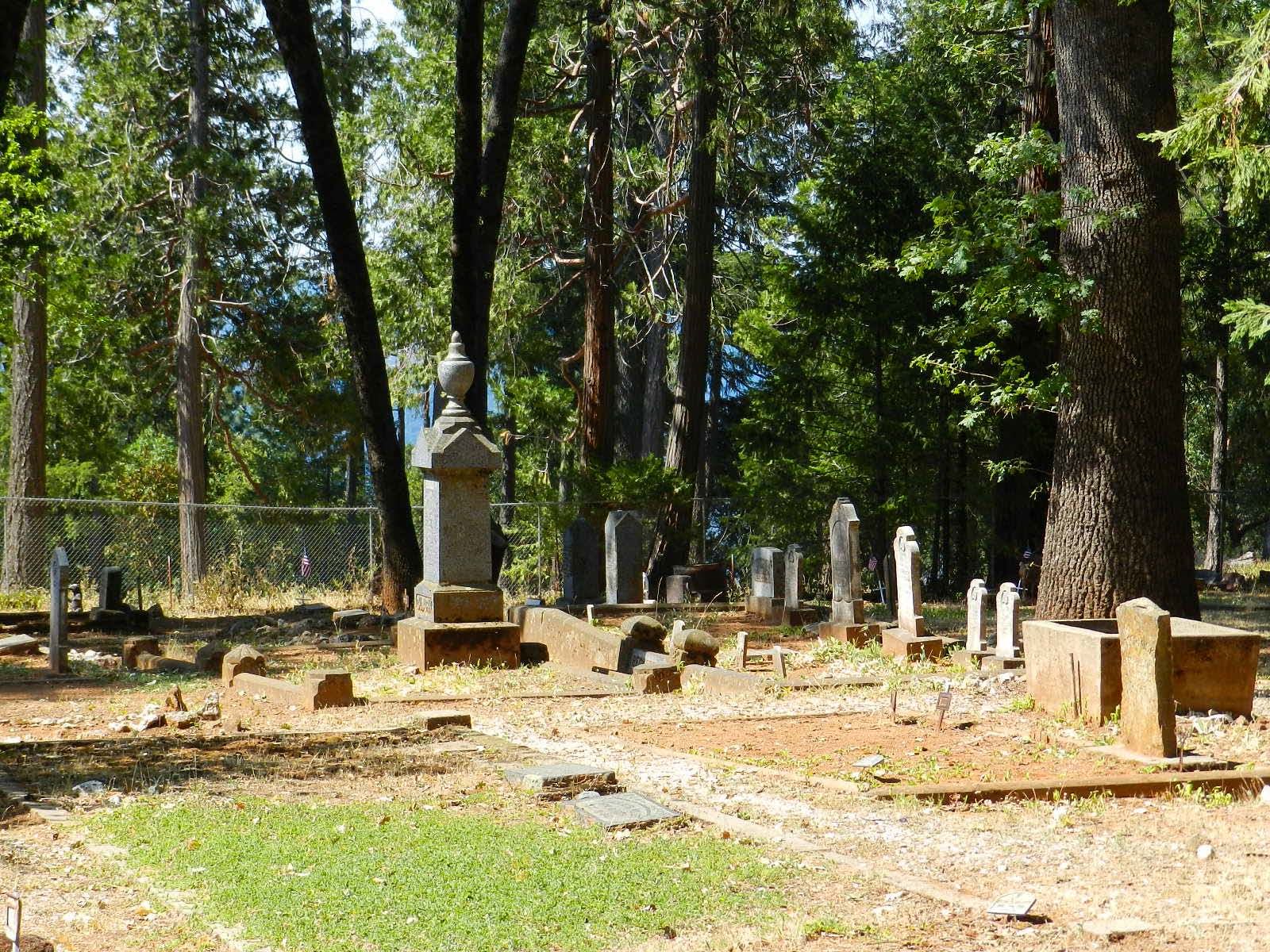
| Description | : | AKA Foresthill Protestant Cemetery. What is now the Foresthill Community Cemetery was established in 1858. The original plots were of old timber and gold families on the Foresthill Divide. By the 1980s, a few burials were still taking place in the newer part of the cemetery, but the whole was overgrown and un-kept. In the late 1990s, the cemetery, at that time known as the Foresthill Protestant Cemetery, was renamed the Foresthill Community Cemetery. The Foresthill Community Cemetery Corporation, a completely volunteer group, now administers and maintains the cemetery, holding one major fund-raiser every year, the Luminary Event, to do... Read More |
frequently asked questions (FAQ):
-
Where is Foresthill Community Cemetery?
Foresthill Community Cemetery is located at Church Street Foresthill, Placer County ,California ,USA.
-
Foresthill Community Cemetery cemetery's updated grave count on graveviews.com?
529 memorials
-
Where are the coordinates of the Foresthill Community Cemetery?
Latitude: 39.0184500
Longitude: -120.8114700
Nearby Cemetories:
1. Saint Joseph Catholic Cemetery
Foresthill, Placer County, USA
Coordinate: 39.0240200, -120.8068800
2. Todd Valley Cemetery
Placer County, USA
Coordinate: 38.9970900, -120.8541000
3. Yankee Jims Cemetery
Foresthill, Placer County, USA
Coordinate: 39.0292511, -120.8614349
4. Josephine Mine Cemetery
Volcanoville, El Dorado County, USA
Coordinate: 38.9798000, -120.7892170
5. Stoney Bar Cemetery
Foresthill, Placer County, USA
Coordinate: 39.0114980, -120.7408060
6. Michigan Bluff Cemetery
Placer County, USA
Coordinate: 39.0409400, -120.7401200
7. Deadwood Cemetery
Foresthill, Placer County, USA
Coordinate: 39.0447700, -120.7361200
8. Odd Fellows Cemetery
Michigan Bluff, Placer County, USA
Coordinate: 39.0449240, -120.7361840
9. Spring Garden Indian Cemetery
Foresthill, Placer County, USA
Coordinate: 38.9998620, -120.9049310
10. Carmelite Monastery Cemetery
Georgetown, El Dorado County, USA
Coordinate: 38.9273300, -120.8173840
11. Georgia Slide Cemetery
Georgetown, El Dorado County, USA
Coordinate: 38.9218063, -120.8377838
12. Saint Dominics Catholic Cemetery
Iowa Hill, Placer County, USA
Coordinate: 39.1108880, -120.8568740
13. Iowa Hill Chinese Cemetery
Iowa Hill, Placer County, USA
Coordinate: 39.1113090, -120.8573260
14. Old Iowa Hill Cemetery
Iowa Hill, Placer County, USA
Coordinate: 39.1116667, -120.8575000
15. Spanish Dry Diggings Cemetery
Greenwood, El Dorado County, USA
Coordinate: 38.9431600, -120.9158000
16. Georgetown Pioneer Cemetery
Georgetown, El Dorado County, USA
Coordinate: 38.9068108, -120.8430862
17. Esoteric Fraternity Cemetery
Applegate, Placer County, USA
Coordinate: 38.9946190, -120.9687490
18. Colfax Indian Cemetery
Colfax, Placer County, USA
Coordinate: 39.0909900, -120.9503000
19. Colfax Cemetery
Colfax, Placer County, USA
Coordinate: 39.0979522, -120.9471644
20. Weimar Sanatorium Cemetery
Weimar, Placer County, USA
Coordinate: 39.0350200, -120.9834400
21. Greenwood Pioneer Cemetery
Greenwood, El Dorado County, USA
Coordinate: 38.8985786, -120.9099274
22. Georgetown-Renke Cemetery Annex
Georgetown, El Dorado County, USA
Coordinate: 38.8964610, -120.9116240
23. Gold Run Cemetery
Placer County, USA
Coordinate: 39.1757100, -120.8612900
24. Clipper Gap Cemetery
Clipper Gap, Placer County, USA
Coordinate: 38.9784880, -121.0256590