
| Memorials | : | 3 |
| Location | : | Eastville, Bristol Unitary Authority, England |
| Coordinate | : | 51.4683610, -2.5540270 |
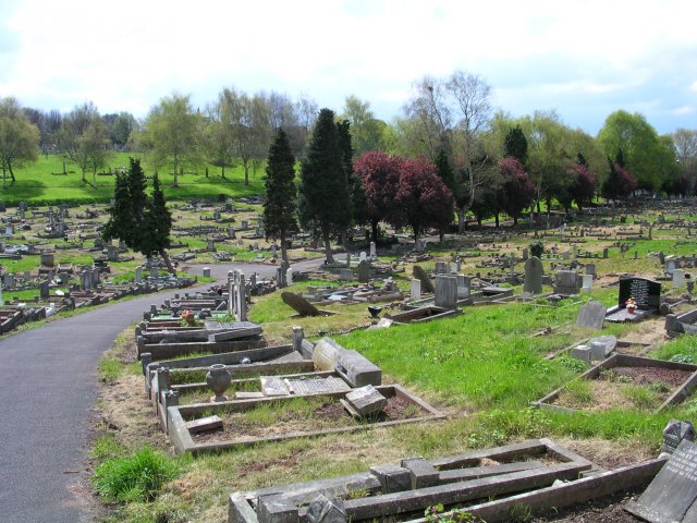
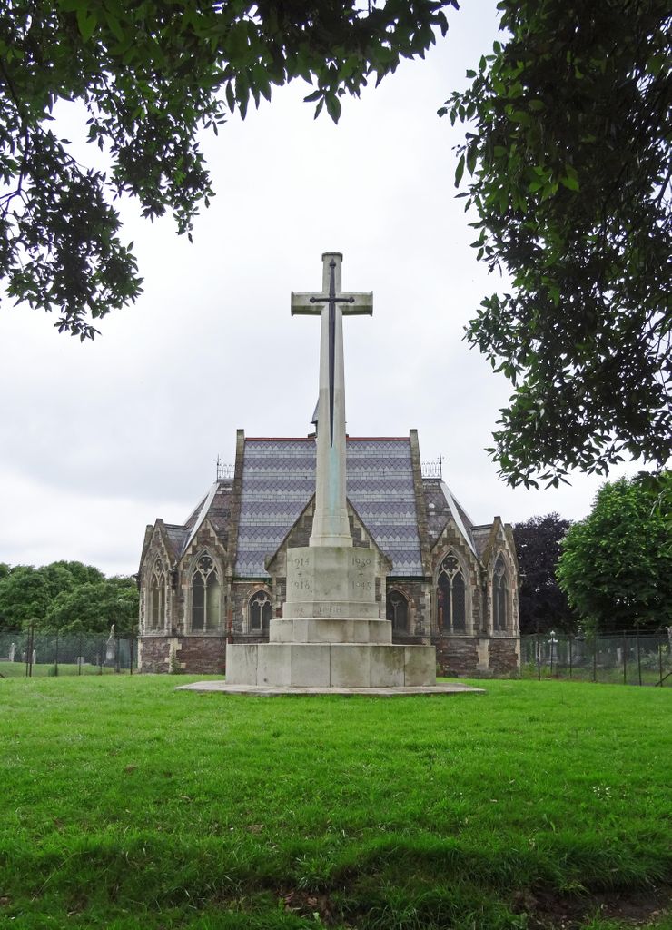
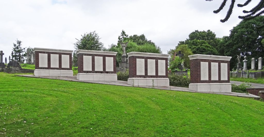
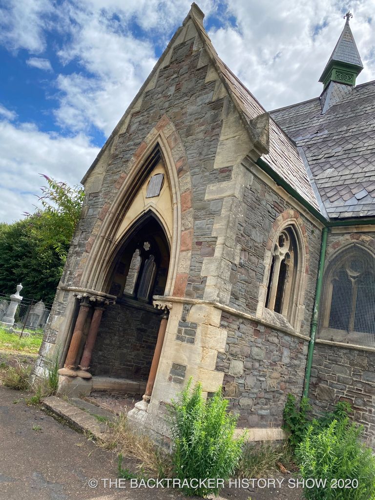
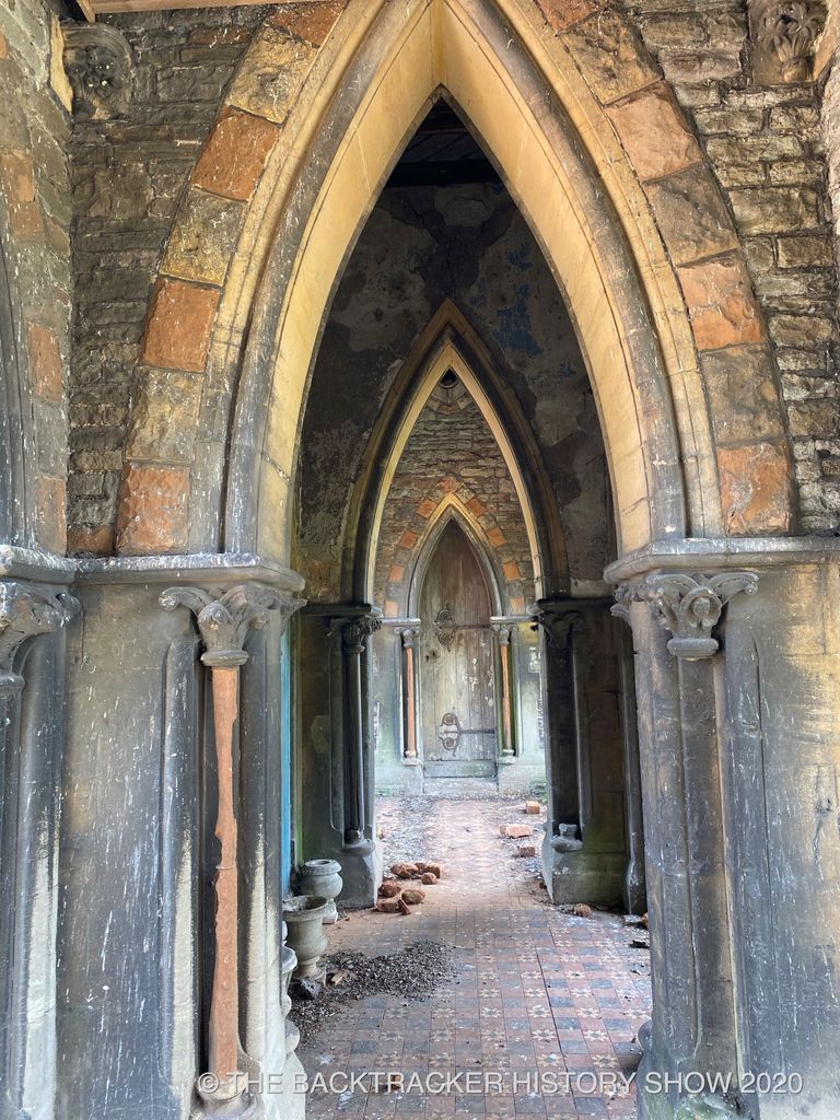
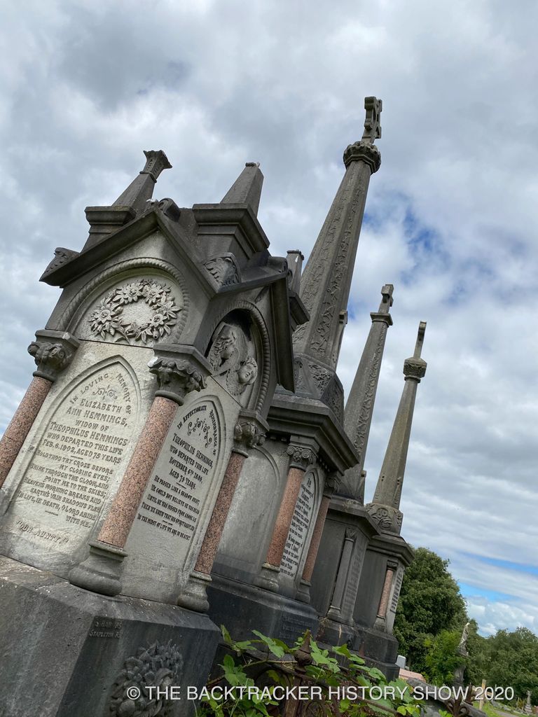
| Description | : | The cemetery contains burials of both wars. It is no longer possible to mark many of the graves individually so the names of the dead now appear on screen walls and other special memorials in two commemorative plots. There are also special memorials to a number of casualties buried in other burial grounds in Bristol whose graves can no longer be maintained. There are now 178 First World War casualties commemorated in this cemetery and 129 from the Second World War. There are 26 Foreign National war burials and 11 non-war service burials here. |
frequently asked questions (FAQ):
-
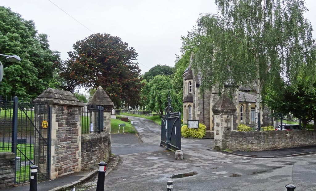
Where is Greenbank Cemetery?
Greenbank Cemetery is located at Greenbank Road Eastville, Bristol Unitary Authority ,Bristol , BS5 6HLEngland.
-
Greenbank Cemetery cemetery's updated grave count on graveviews.com?
3 memorials
-
Where are the coordinates of the Greenbank Cemetery?
Latitude: 51.4683610
Longitude: -2.5540270
Nearby Cemetories:
1. Greenbank Masjid
Easton, Bristol Unitary Authority, England
Coordinate: 51.4679410, -2.5578030
2. St Mark Churchyard
Easton, Bristol Unitary Authority, England
Coordinate: 51.4668240, -2.5646860
3. Ridgeway Jewish Cemetery
Bristol, Bristol Unitary Authority, England
Coordinate: 51.4749930, -2.5488700
4. Ridgeway Park Cemetery
Bristol, Bristol Unitary Authority, England
Coordinate: 51.4755800, -2.5494800
5. Wesleyan Methodist Church
Redfield, Bristol Unitary Authority, England
Coordinate: 51.4589300, -2.5569000
6. Avon View Cemetery
St George, Bristol Unitary Authority, England
Coordinate: 51.4574000, -2.5493680
7. Holy Trinity Churchyard
Stapleton, Bristol Unitary Authority, England
Coordinate: 51.4802770, -2.5579510
8. St Werburgh's Church
Bristol, Bristol Unitary Authority, England
Coordinate: 51.4717464, -2.5763725
9. St Luke’s Church burial ground
Barton Hill, Bristol Unitary Authority, England
Coordinate: 51.4544500, -2.5639600
10. Barton Hill School Memorial
Barton Hill, Bristol Unitary Authority, England
Coordinate: 51.4544350, -2.5640030
11. Holy Trinity Church
St Phillips, Bristol Unitary Authority, England
Coordinate: 51.4580335, -2.5760701
12. Saint Mary's Churchyard
Fishponds, Bristol Unitary Authority, England
Coordinate: 51.4815000, -2.5300000
13. St Pauls Churchyard
Bristol, Bristol Unitary Authority, England
Coordinate: 51.4611550, -2.5847190
14. Barton Road Jewish Cemetery
St Phillips, Bristol Unitary Authority, England
Coordinate: 51.4531400, -2.5779800
15. St Michael the Archangel Churchyard
Bristol Unitary Authority, England
Coordinate: 51.4619199, -2.5211279
16. Redcross Street Burial Ground (Defunct)
Bristol Unitary Authority, England
Coordinate: 51.4563073, -2.5833100
17. Brunswick Square Unitarian Burying Ground
Bristol, Bristol Unitary Authority, England
Coordinate: 51.4605400, -2.5877800
18. Whitfield's Tabernacle
St Pauls, Bristol Unitary Authority, England
Coordinate: 51.4579500, -2.5860800
19. St Philip and St Jacob Churchyard
Bristol, Bristol Unitary Authority, England
Coordinate: 51.4545420, -2.5844690
20. Black Friars Priory
Bristol, Bristol Unitary Authority, England
Coordinate: 51.4572220, -2.5877780
21. Quakers Friars Burial Ground
Bristol, Bristol Unitary Authority, England
Coordinate: 51.4572220, -2.5877780
22. Fishponds Baptist Churchyard
Fishponds, Bristol Unitary Authority, England
Coordinate: 51.4823300, -2.5227200
23. Kingswood Methodist Church Burial Ground
Kingswood, South Gloucestershire Unitary Authority, England
Coordinate: 51.4637200, -2.5134100
24. St. Peter's Churchyard
Bristol, Bristol Unitary Authority, England
Coordinate: 51.4553560, -2.5896930