
| Memorials | : | 0 |
| Location | : | Randolph County, USA |
| Coordinate | : | 33.3098200, -85.4873080 |
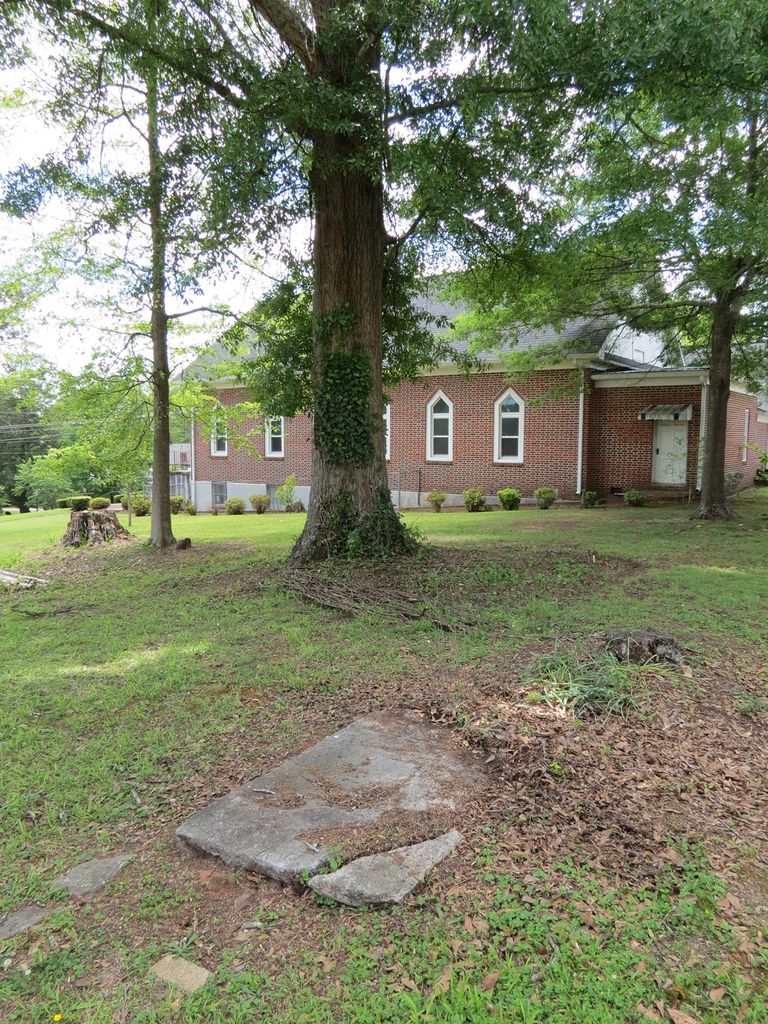
| Description | : | Mrs Asa Hearn (Esther Benton) is the only person buried at this location. Her grave is on the property of the Prescott-Burns House, See map for directions |
frequently asked questions (FAQ):
-
Where is Hearn Gravesite?
Hearn Gravesite is located at Randolph County ,Alabama ,USA.
-
Hearn Gravesite cemetery's updated grave count on graveviews.com?
0 memorials
-
Where are the coordinates of the Hearn Gravesite?
Latitude: 33.3098200
Longitude: -85.4873080

Nearby Cemetories:
1. Mount Pisgah Methodist Church Cemetery
Randolph County, USA
Coordinate: 33.2616997, -85.4942017
2. Greens Chapel Methodist Church Cemetery
Randolph County, USA
Coordinate: 33.2949510, -85.4256740
3. Noon Day Congregational Christian Church Cemetery
New Hope, Randolph County, USA
Coordinate: 33.3265800, -85.4250400
4. Liberty Grove Church Cemetery
Randolph County, USA
Coordinate: 33.3569020, -85.4286910
5. Levens Baptist Church Cemetery
Randolph County, USA
Coordinate: 33.3785000, -85.4836900
6. Rocky Branch Baptist Church Cemetery
New Hope, Randolph County, USA
Coordinate: 33.3217087, -85.3998795
7. Old Rocky Branch Cemetery
New Hope, Randolph County, USA
Coordinate: 33.3171997, -85.3977966
8. Friendship Christian Cemetery
Roanoke, Randolph County, USA
Coordinate: 33.2585810, -85.4187610
9. Piney Wood Church of Christ Church Cemetery
Randolph County, USA
Coordinate: 33.3841000, -85.5138000
10. Bethel West Cemetery
Randolph County, USA
Coordinate: 33.3740463, -85.5468903
11. Haywood Cemetery
Haywood, Randolph County, USA
Coordinate: 33.3039700, -85.3899100
12. Cavers Grove Congregational Christian Cemetery
Randolph County, USA
Coordinate: 33.3927920, -85.4896480
13. Old Cool Spring Cemetery
Randolph County, USA
Coordinate: 33.3992004, -85.4824982
14. Rock Springs Cemetery
Roanoke, Randolph County, USA
Coordinate: 33.2221800, -85.4563210
15. Gay Cemetery
Randolph County, USA
Coordinate: 33.2192001, -85.5421982
16. Kidd Family Cemetery
Randolph County, USA
Coordinate: 33.2061610, -85.4902840
17. Rock Stand Congregational Christian Church Cemeter
Roanoke, Randolph County, USA
Coordinate: 33.2242350, -85.4084310
18. West Napoleon Church of Christ Cemetery
Napoleon, Randolph County, USA
Coordinate: 33.3244900, -85.3582600
19. Union Baptist Church Cemetery
Newell, Randolph County, USA
Coordinate: 33.4193300, -85.4880900
20. East Napoleon Church of Christ Cemetery
Napoleon, Randolph County, USA
Coordinate: 33.3204560, -85.3494260
21. Highway First Congregational Cemetery
Roanoke, Randolph County, USA
Coordinate: 33.2768000, -85.3539700
22. Knight Cemetery
Malone, Randolph County, USA
Coordinate: 33.2097015, -85.5599976
23. Bethlehem Primitive Baptist Church Cemetery
Level Road, Randolph County, USA
Coordinate: 33.1957300, -85.5278830
24. Potash Church Of God Cemetery
Potash, Randolph County, USA
Coordinate: 33.2776900, -85.3489900