| Memorials | : | 0 |
| Location | : | Dunstable, Central Bedfordshire Unitary Authority, England |
| Coordinate | : | 51.8859940, -0.5177920 |
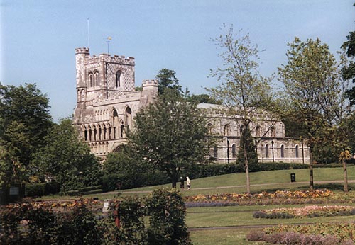
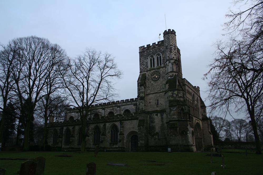
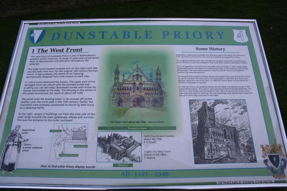
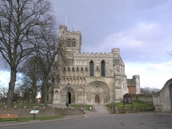
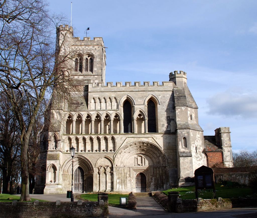
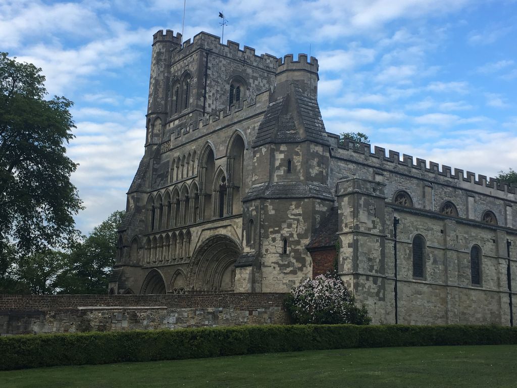
| Description | : | Dunstable can be reached via the M1 Motorway, exit at the A505 (junction 11) and follow the signs to Dunstable. At the next roundabout (Halfway House restaurant on the right) take the second exit, towards Dunstable. Keep straight ahead towards Dunstable town centre, and you will see the Priory Church of St Peter on your left. History: In 1131 King Henry I established an Augustinian priory at Dunstable. It was at Dunstable Priory that the annulment of Katherine of Aragon's marriage to Henry VIII was announced in 1533. The Augustinians were evicted shortly after in the Dissolution of the Monasteries,... Read More |
frequently asked questions (FAQ):
-
Where is Dunstable Priory?
Dunstable Priory is located at Dunstable, Central Bedfordshire Unitary Authority ,Bedfordshire ,England.
-
Dunstable Priory cemetery's updated grave count on graveviews.com?
0 memorials
-
Where are the coordinates of the Dunstable Priory?
Latitude: 51.8859940
Longitude: -0.5177920
Nearby Cemetories:
1. Dunstable Cemetery
Dunstable, Central Bedfordshire Unitary Authority, England
Coordinate: 51.8831062, -0.5316300
2. Houghton Regis Cemetery
Houghton Regis, Central Bedfordshire Unitary Authority, England
Coordinate: 51.9019710, -0.5229130
3. All Saints Churchyard
Houghton Regis, Central Bedfordshire Unitary Authority, England
Coordinate: 51.9048640, -0.5212930
4. St Mary the Virgin, Kensworth
Kensworth, Central Bedfordshire Unitary Authority, England
Coordinate: 51.8602233, -0.5037911
5. St Mary the Virgin Churchyard
Eaton Bray, Central Bedfordshire Unitary Authority, England
Coordinate: 51.8776980, -0.5655540
6. St Giles of Provence churchyard
Totternhoe, Central Bedfordshire Unitary Authority, England
Coordinate: 51.8778108, -0.5656137
7. St. Mary Magdalene Churchyard
Whipsnade, Central Bedfordshire Unitary Authority, England
Coordinate: 51.8510078, -0.5324191
8. All Saints Churchyard
Caddington, Central Bedfordshire Unitary Authority, England
Coordinate: 51.8670460, -0.4561910
9. All Saints Churchyard
Tilsworth, Central Bedfordshire Unitary Authority, England
Coordinate: 51.9083138, -0.5837350
10. St. Mary the Virgin Churchyard
Sundon, Central Bedfordshire Unitary Authority, England
Coordinate: 51.9301970, -0.4769740
11. All Saints Churchyard
Chalgrave, Central Bedfordshire Unitary Authority, England
Coordinate: 51.9362000, -0.5343000
12. St Mary the Virgin Churchyard
Edlesborough, Aylesbury Vale District, England
Coordinate: 51.8617700, -0.5918500
13. Holy Trinity Churchyard
Biscot, Luton Borough, England
Coordinate: 51.9028700, -0.4375560
14. Aley Green Cemetery
Slip End, Central Bedfordshire Unitary Authority, England
Coordinate: 51.8522500, -0.4496420
15. St. John the Baptist Churchyard
Markyate, Dacorum Borough, England
Coordinate: 51.8391900, -0.4658200
16. Luton General Cemetery
Luton, Luton Borough, England
Coordinate: 51.8773780, -0.4242060
17. St Andrew Woodside Churchyard
Slip End, Central Bedfordshire Unitary Authority, England
Coordinate: 51.8577160, -0.4306600
18. Friend's Burial Ground
Luton, Luton Borough, England
Coordinate: 51.8738060, -0.4170870
19. St George of England Parish Church
Toddington, Central Bedfordshire Unitary Authority, England
Coordinate: 51.9498000, -0.5318000
20. St Michael Churchyard
Eggington, Central Bedfordshire Unitary Authority, England
Coordinate: 51.9168460, -0.6103740
21. Toddington Parish Cemetery
Toddington, Central Bedfordshire Unitary Authority, England
Coordinate: 51.9509830, -0.5282330
22. St. Mary's Churchyard
Luton, Luton Borough, England
Coordinate: 51.8788681, -0.4100020
23. St. Nicholas Churchyard
Hockliffe, Central Bedfordshire Unitary Authority, England
Coordinate: 51.9328680, -0.5964160
24. Church Burial Ground
Luton, Luton Borough, England
Coordinate: 51.8794640, -0.4027310

