
| Memorials | : | 1 |
| Location | : | Walton, Boone County, USA |
| Coordinate | : | 38.8872220, -84.6375000 |
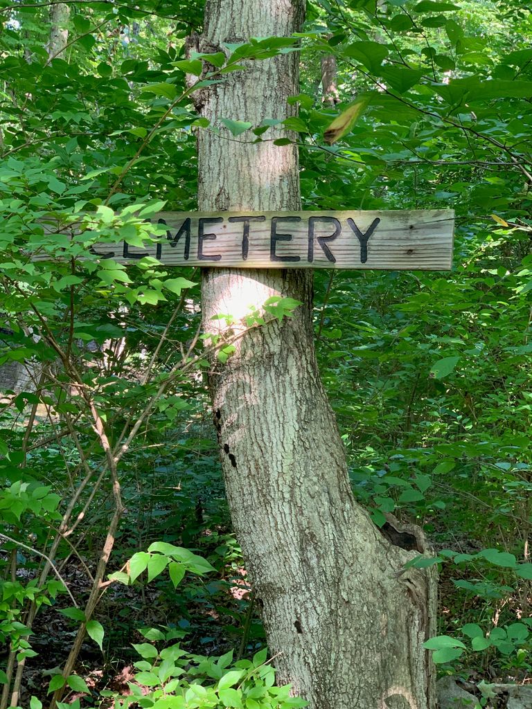
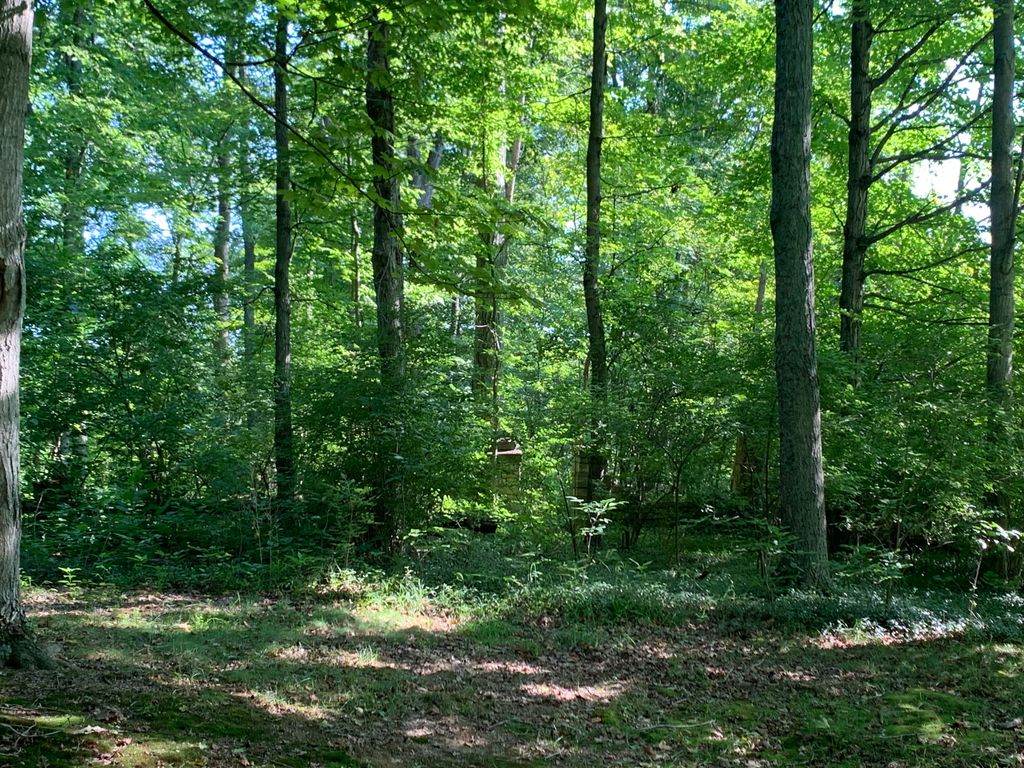
| Description | : | The cemetery is located on the west side of Gaines Road about 300 feet south of its intersection with Chambers Road in Bedinger’s Landing Subdivision. Burials occurred from 1832 through 1861. The Boone County GIS unique ID assigned to this cemetery is 90 (Hudson Cemetery). The cemetery has an index number of 91 (Hudson) on the Boone County Kentucky Cemetery Map published in 2005 by the Boone County Planning Commission in conjunction with Johnson-Wilson Cemetery Stewards Association. The cemetery is identified as Hudson in the index and listed as Hudson Cemetery on page 140 of the book “Boone County, Kentucky Cemeteries” by Stephen... Read More |
frequently asked questions (FAQ):
-
Where is Hudson Cemetery?
Hudson Cemetery is located at 12207 Gaines Road Walton, Boone County ,Kentucky , 41094USA.
-
Hudson Cemetery cemetery's updated grave count on graveviews.com?
1 memorials
-
Where are the coordinates of the Hudson Cemetery?
Latitude: 38.8872220
Longitude: -84.6375000
Nearby Cemetories:
1. Senour Family Burying Ground
Walton, Boone County, USA
Coordinate: 38.8844770, -84.6396230
2. Hughes Cemetery
Walton, Boone County, USA
Coordinate: 38.8897220, -84.6438890
3. Richwood Presbyterian Cemetery
Walton, Boone County, USA
Coordinate: 38.8994500, -84.6516300
4. Robinson Cemetery
Walton, Boone County, USA
Coordinate: 38.8888890, -84.6100000
5. Finnell-Burton-Roberts Cemetery
Walton, Boone County, USA
Coordinate: 38.8665940, -84.6216130
6. Glackin Family Cemetery
Richwood, Boone County, USA
Coordinate: 38.9130050, -84.6302180
7. Johnson-Noell Family Cemetery
Walton, Boone County, USA
Coordinate: 38.8611180, -84.6497140
8. Lampton Family Cemetery
Richwood, Boone County, USA
Coordinate: 38.9104350, -84.6151260
9. Ross Cemetery
Walton, Boone County, USA
Coordinate: 38.8697230, -84.6033330
10. Roberts Family Cemetery
Walton, Boone County, USA
Coordinate: 38.8531970, -84.6457220
11. Percival Cemetery
Bank Lick, Kenton County, USA
Coordinate: 38.8875000, -84.5913890
12. Salem Predestinarian Baptist Church Cemetery
Boone County, USA
Coordinate: 38.8500595, -84.6287766
13. Carpenter Cemetery
Boone County, USA
Coordinate: 38.9258070, -84.6281840
14. Booth Family Cemetery
Union, Boone County, USA
Coordinate: 38.9265990, -84.6450410
15. Hughes Chapel Cemetery
Union, Boone County, USA
Coordinate: 38.8855896, -84.6936111
16. Beaverlick Cemetery
Beaverlick, Boone County, USA
Coordinate: 38.8790070, -84.6950630
17. Butts-Snow-Loar Cemetery
Union, Boone County, USA
Coordinate: 38.9328660, -84.6396090
18. Rebecca Stone Cemetery
Verona, Boone County, USA
Coordinate: 38.8558330, -84.6816670
19. Rachel Hudson Cemetery
Beaverlick, Boone County, USA
Coordinate: 38.8750000, -84.6969440
20. Grubbs Cemetery
Richwood, Boone County, USA
Coordinate: 38.9366260, -84.6262810
21. Cleek Cemetery (Defunct)
Union, Boone County, USA
Coordinate: 38.9341620, -84.6634140
22. Carter Family Cemetery
Union, Boone County, USA
Coordinate: 38.9370090, -84.6565470
23. Byland Cemetery
Kenton County, USA
Coordinate: 38.8577995, -84.5824966
24. Baker Cemetery
Beaverlick, Boone County, USA
Coordinate: 38.8745613, -84.7042007