
| Memorials | : | 0 |
| Location | : | Walton, Boone County, USA |
| Coordinate | : | 38.8844770, -84.6396230 |
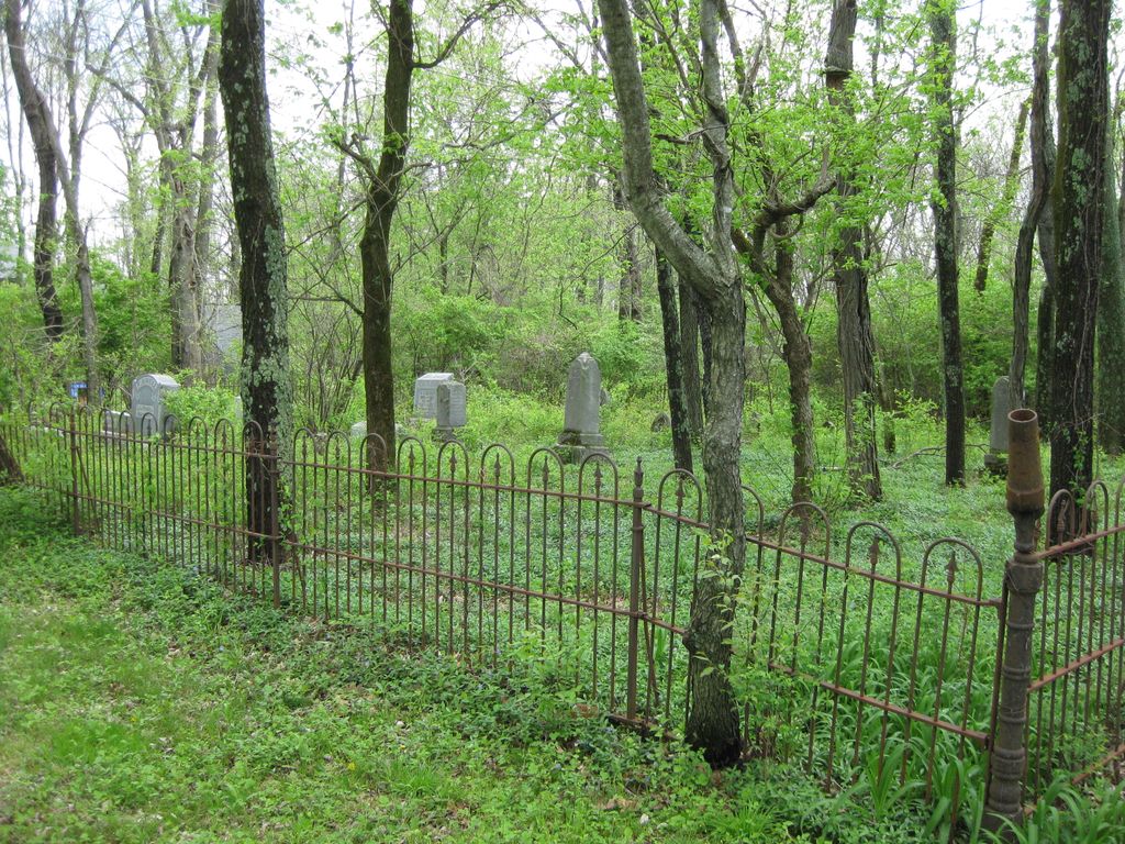
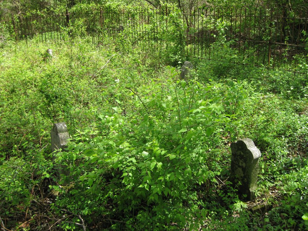
| Description | : | Located along the second private driveway west of Mudlick Creek Bridge, between Beaver Road and Chambers Road, west of I-75. The Boone County GIS unique ID assigned to this cemetery is 151 (Senour Cemetery) The cemetery has an index number of 153 (Senour) on the Boone County Kentucky Cemetery Map published in 2005 by the Boone County Planning Commission in conjunction with Johnson-Wilson Cemetery Stewards Association. The cemetery is identified as Senour in the index and listed as Senour Cemetery on page 149 of the book “Boone County, Kentucky Cemeteries” by Stephen W. Worrel, M.A. & Anne W. Fitzgerald, B.S., © 1996. The cemetery... Read More |
frequently asked questions (FAQ):
-
Where is Senour Family Burying Ground?
Senour Family Burying Ground is located at 12820 Hutton Drive Walton, Boone County ,Kentucky , 41094USA.
-
Senour Family Burying Ground cemetery's updated grave count on graveviews.com?
0 memorials
-
Where are the coordinates of the Senour Family Burying Ground?
Latitude: 38.8844770
Longitude: -84.6396230
Nearby Cemetories:
1. Hudson Cemetery
Walton, Boone County, USA
Coordinate: 38.8872220, -84.6375000
2. Hughes Cemetery
Walton, Boone County, USA
Coordinate: 38.8897220, -84.6438890
3. Richwood Presbyterian Cemetery
Walton, Boone County, USA
Coordinate: 38.8994500, -84.6516300
4. Finnell-Burton-Roberts Cemetery
Walton, Boone County, USA
Coordinate: 38.8665940, -84.6216130
5. Robinson Cemetery
Walton, Boone County, USA
Coordinate: 38.8888890, -84.6100000
6. Johnson-Noell Family Cemetery
Walton, Boone County, USA
Coordinate: 38.8611180, -84.6497140
7. Glackin Family Cemetery
Richwood, Boone County, USA
Coordinate: 38.9130050, -84.6302180
8. Roberts Family Cemetery
Walton, Boone County, USA
Coordinate: 38.8531970, -84.6457220
9. Ross Cemetery
Walton, Boone County, USA
Coordinate: 38.8697230, -84.6033330
10. Lampton Family Cemetery
Richwood, Boone County, USA
Coordinate: 38.9104350, -84.6151260
11. Salem Predestinarian Baptist Church Cemetery
Boone County, USA
Coordinate: 38.8500595, -84.6287766
12. Percival Cemetery
Bank Lick, Kenton County, USA
Coordinate: 38.8875000, -84.5913890
13. Hughes Chapel Cemetery
Union, Boone County, USA
Coordinate: 38.8855896, -84.6936111
14. Carpenter Cemetery
Boone County, USA
Coordinate: 38.9258070, -84.6281840
15. Booth Family Cemetery
Union, Boone County, USA
Coordinate: 38.9265990, -84.6450410
16. Rebecca Stone Cemetery
Verona, Boone County, USA
Coordinate: 38.8558330, -84.6816670
17. Beaverlick Cemetery
Beaverlick, Boone County, USA
Coordinate: 38.8790070, -84.6950630
18. Rachel Hudson Cemetery
Beaverlick, Boone County, USA
Coordinate: 38.8750000, -84.6969440
19. Butts-Snow-Loar Cemetery
Union, Boone County, USA
Coordinate: 38.9328660, -84.6396090
20. Baker Cemetery
Beaverlick, Boone County, USA
Coordinate: 38.8745613, -84.7042007
21. Byland Cemetery
Kenton County, USA
Coordinate: 38.8577995, -84.5824966
22. Cleek Cemetery (Defunct)
Union, Boone County, USA
Coordinate: 38.9341620, -84.6634140
23. Grubbs Cemetery
Richwood, Boone County, USA
Coordinate: 38.9366260, -84.6262810
24. Carter Family Cemetery
Union, Boone County, USA
Coordinate: 38.9370090, -84.6565470