
| Memorials | : | 0 |
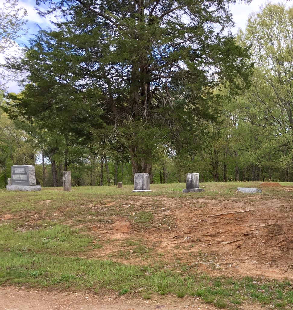
| Location | : | Sardis, Henderson County, USA |
| Coordinate | : | 35.4639730, -88.3019970 |
| Description | : | From the intersection of TN-104 E & TN-100, near Regan, travel south for 3.7 mi., turning east (slightly left) onto Pleasant View Cemetery Rd., going 0.1 mi. to the cemetery on the east (left) side of the road, south a large home place. |
frequently asked questions (FAQ):
-
Where is Pleasant View Cemetery?
Pleasant View Cemetery is located at Pleasant View Cemetery Road Sardis, Henderson County ,Tennessee , 38368USA.
-
Pleasant View Cemetery cemetery's updated grave count on graveviews.com?
0 memorials
-
Where are the coordinates of the Pleasant View Cemetery?
Latitude: 35.4639730
Longitude: -88.3019970
Nearby Cemetories:
1. Little Hurricane Cemetery
Sardis, Henderson County, USA
Coordinate: 35.4605060, -88.3302360
2. McBride Cemetery
Sardis, Henderson County, USA
Coordinate: 35.4406013, -88.3106003
3. Prospect Church Cemetery
Sardis, Henderson County, USA
Coordinate: 35.4584950, -88.2683120
4. Sardis Cemetery
Sardis, Henderson County, USA
Coordinate: 35.4366020, -88.2833100
5. Cedar Grove Cemetery
Henderson County, USA
Coordinate: 35.4799600, -88.2678900
6. Cedar Grove Pentecostal Cemetery
Sardis, Henderson County, USA
Coordinate: 35.4829530, -88.2698440
7. Spring Hill Cemetery
Sardis, Henderson County, USA
Coordinate: 35.4277992, -88.3091965
8. Granny Austin Cemetery
Scotts Hill, Henderson County, USA
Coordinate: 35.4949850, -88.2734300
9. Marl Bluff Cemetery
Sardis, Henderson County, USA
Coordinate: 35.4570870, -88.3561740
10. Doe Creek Cemetery
Scotts Hill, Henderson County, USA
Coordinate: 35.4692990, -88.2474350
11. Fellowship Church Cemetery
Scotts Hill, Henderson County, USA
Coordinate: 35.4965940, -88.2602540
12. Lowery-Doe Creek Cemetery
Decatur County, USA
Coordinate: 35.4483120, -88.2468900
13. Edge Cemetery
Reagan, Henderson County, USA
Coordinate: 35.4788830, -88.3620300
14. Ridley Chapel Cemetery
Reagan, Henderson County, USA
Coordinate: 35.5026110, -88.3454170
15. Benson Cemetery
Chester County, USA
Coordinate: 35.4453011, -88.3685989
16. Hurricane Church Cemetery
Hinkle, Hardin County, USA
Coordinate: 35.4080320, -88.3240380
17. Barren Springs Cemetery
Reagan, Henderson County, USA
Coordinate: 35.5183310, -88.3400860
18. Hanna Cemetery
Hinkle, Hardin County, USA
Coordinate: 35.3991600, -88.3006680
19. Bethel Cemetery
Scotts Hill, Decatur County, USA
Coordinate: 35.4963690, -88.2320790
20. Grandsire Holmes Cemetery
Scotts Hill, Henderson County, USA
Coordinate: 35.5140820, -88.2483620
21. Scotts Hill Pentecostal Church Cemetery
Scotts Hill, Decatur County, USA
Coordinate: 35.5065610, -88.2336080
22. Scotts Hill Church Cemetery
Scotts Hill, Henderson County, USA
Coordinate: 35.5189480, -88.2463960
23. Ebenezer Cemetery
Henderson County, USA
Coordinate: 35.5353940, -88.2887670
24. Liberty Church Cemetery
Scotts Hill, Decatur County, USA
Coordinate: 35.4466050, -88.2146570