
| Memorials | : | 0 |
| Location | : | Darlaston, Metropolitan Borough of Walsall, England |
| Coordinate | : | 52.5765076, -2.0185659 |
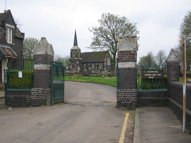
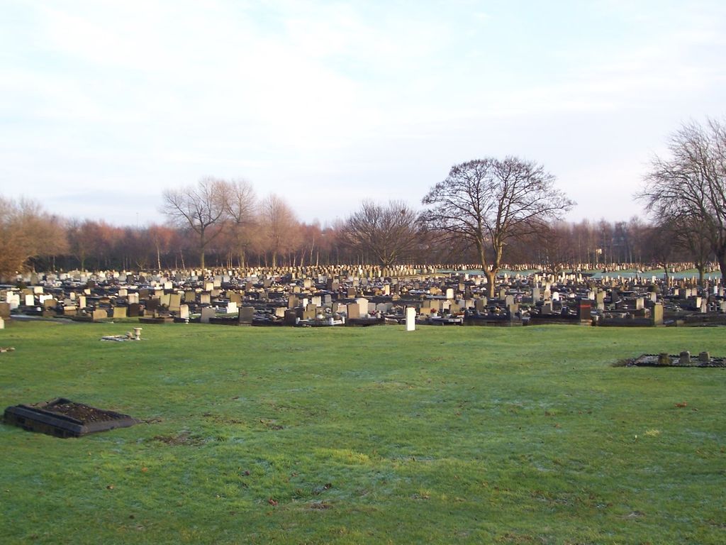
| Description | : | Entrance to James Bridge Cemetery, Darlaston, West Midlands. James Bridge Cemetery was opened in 1860 by the then Darlaston Urban District Council. |
frequently asked questions (FAQ):
-
Where is James Bridge Cemetery?
James Bridge Cemetery is located at Cemetery Road Darlaston, Metropolitan Borough of Walsall ,West Midlands , WS10 8NAEngland.
-
James Bridge Cemetery cemetery's updated grave count on graveviews.com?
0 memorials
-
Where are the coordinates of the James Bridge Cemetery?
Latitude: 52.5765076
Longitude: -2.0185659
Nearby Cemetories:
1. Fallings Heath Cemetery
Wednesbury, Metropolitan Borough of Sandwell, England
Coordinate: 52.5689100, -2.0182820
2. Bentley Cemetery
Willenhall, Metropolitan Borough of Walsall, England
Coordinate: 52.5868880, -2.0299620
3. All Saints Churchyard
Moxley, Metropolitan Borough of Walsall, England
Coordinate: 52.5666000, -2.0350200
4. Queen Street Cemetery
Walsall, Metropolitan Borough of Walsall, England
Coordinate: 52.5797190, -1.9929050
5. Wood Green Cemetery
Wednesbury, Metropolitan Borough of Sandwell, England
Coordinate: 52.5585990, -2.0081480
6. St Giles Church Cemetery
Willenhall, Metropolitan Borough of Walsall, England
Coordinate: 52.5841600, -2.0504000
7. St. Giles Church Cholera Burial Ground
Willenhall, Metropolitan Borough of Coventry, England
Coordinate: 52.5851060, -2.0498580
8. St Mary Roman Catholic Churchyard
Walsall, Metropolitan Borough of Walsall, England
Coordinate: 52.5797300, -1.9835900
9. Wood Street Cemetery
Willenhall, Metropolitan Borough of Walsall, England
Coordinate: 52.5867500, -2.0528900
10. Bath Street Burial Grounds
Walsall, Metropolitan Borough of Walsall, England
Coordinate: 52.5801310, -1.9799960
11. Willenhall Lawn Cemetery
Willenhall, Metropolitan Borough of Walsall, England
Coordinate: 52.6001870, -2.0327110
12. St. John's Church
Wednesbury, Metropolitan Borough of Sandwell, England
Coordinate: 52.5506170, -2.0184700
13. Holy Trinity Churchyard Shortheath
Willenhall, Metropolitan Borough of Walsall, England
Coordinate: 52.6047160, -2.0364190
14. St. Mary's
Bilston, Metropolitan Borough of Wolverhampton, England
Coordinate: 52.5639000, -2.0681000
15. St. Leonard's Churchyard
Bilston, Metropolitan Borough of Wolverhampton, England
Coordinate: 52.5665580, -2.0752470
16. Ryecroft Cemetery
Walsall, Metropolitan Borough of Walsall, England
Coordinate: 52.6012820, -1.9752140
17. All Saints Church Cemetery
Bloxwich, Metropolitan Borough of Walsall, England
Coordinate: 52.6147940, -2.0050330
18. Hall Green Cemetery
Bradley, Stafford Borough, England
Coordinate: 52.5525360, -2.0728930
19. Bilston Cemetery
Bilston, Metropolitan Borough of Wolverhampton, England
Coordinate: 52.5709000, -2.0862800
20. Bloxwich Cemetery
Bloxwich, Metropolitan Borough of Walsall, England
Coordinate: 52.6188070, -1.9963110
21. Heath Lane Cemetery
West Bromwich, Metropolitan Borough of Sandwell, England
Coordinate: 52.5355750, -1.9885610
22. St. Thomas Churchyard
Wednesfield, Metropolitan Borough of Wolverhampton, England
Coordinate: 52.5997080, -2.0835350
23. All Saints Churchyard
West Bromwich, Metropolitan Borough of Sandwell, England
Coordinate: 52.5344360, -1.9849140
24. Tipton Cemetery
Tipton, Metropolitan Borough of Sandwell, England
Coordinate: 52.5321870, -2.0465760