
| Memorials | : | 85 |
| Location | : | Rimer, Putnam County, USA |
| Coordinate | : | 40.9061012, -84.2080994 |
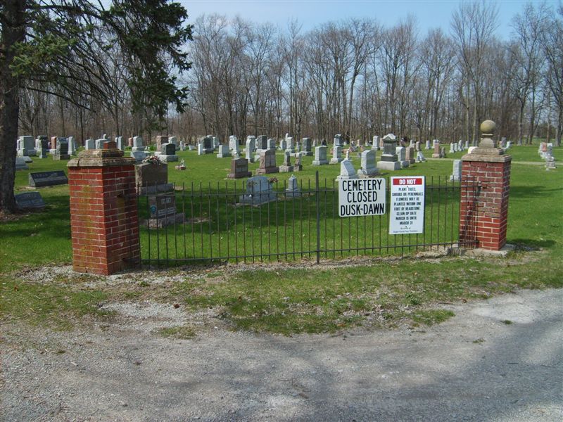
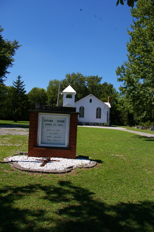
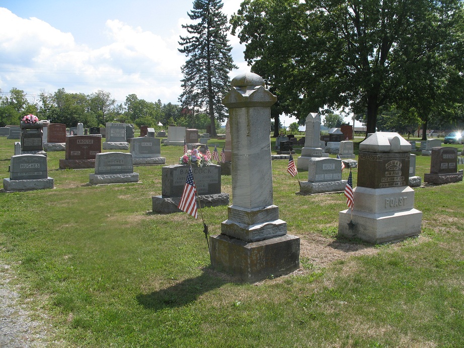
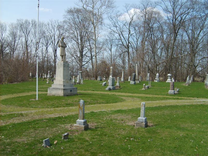
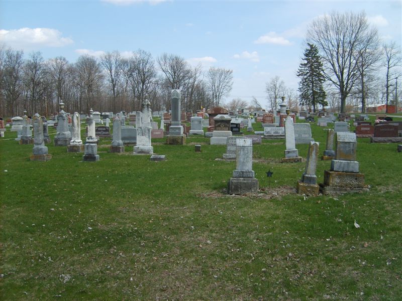
| Description | : | The cemetery is located on the west side of County Road 18-R about 0.1 miles north of its intersection with Township Road S. The cemetery is located in Riley Township, Putnam County, Ohio, and is # 10160 (McGuffey Cemetery / Ottawa River Cemetery) in “Ohio Cemeteries 1803-2003”, compiled by the Ohio Genealogical Society. The cemetery is registered with the Ohio Division of Real Estate and Professional Licensing (ODRE) as Asa Varner Cemetery with registration license number CGR.0000981735. The U.S. Geological Survey (USGS) Geographic Names Information System (GNIS) feature ID for the cemetery is 1071352 (Ottawa River Cemetery /... Read More |
frequently asked questions (FAQ):
-
Where is Ottawa River Cemetery?
Ottawa River Cemetery is located at County Road 18-R Rimer, Putnam County ,Ohio , 45830USA.
-
Ottawa River Cemetery cemetery's updated grave count on graveviews.com?
85 memorials
-
Where are the coordinates of the Ottawa River Cemetery?
Latitude: 40.9061012
Longitude: -84.2080994
Nearby Cemetories:
1. Reynolds Cemetery
Sugar Creek Township, Putnam County, USA
Coordinate: 40.9232940, -84.1986030
2. Keirns Cemetery
Sugar Creek Township, Putnam County, USA
Coordinate: 40.8875008, -84.2181015
3. Hughes Cemetery
Union Township, Putnam County, USA
Coordinate: 40.9458008, -84.1616974
4. Carmen Cemetery
Gomer, Allen County, USA
Coordinate: 40.8531380, -84.2118660
5. Vaughnsville Cemetery
Vaughnsville, Putnam County, USA
Coordinate: 40.8754275, -84.1505957
6. Raabe Cemetery
Fort Jennings, Putnam County, USA
Coordinate: 40.8993988, -84.2789001
7. Saint Joseph Cemetery
Fort Jennings, Putnam County, USA
Coordinate: 40.9056015, -84.2928009
8. Clevenger Cemetery
Kalida, Putnam County, USA
Coordinate: 40.9679460, -84.1857790
9. Pike Run Cemetery
Gomer, Allen County, USA
Coordinate: 40.8432999, -84.1669006
10. Mount Calvary Cemetery
Fort Jennings, Putnam County, USA
Coordinate: 40.8986015, -84.3035965
11. Hadding Cemetery
Gomer, Allen County, USA
Coordinate: 40.8319016, -84.2035980
12. Union Township Cemetery
Kalida, Putnam County, USA
Coordinate: 40.9843500, -84.2110400
13. Saint Michaels Cemetery
Kalida, Putnam County, USA
Coordinate: 40.9846992, -84.2102966
14. Martz Cemetery
Cairo, Allen County, USA
Coordinate: 40.8485170, -84.1280870
15. New Saint John's Catholic Cemetery
Delphos, Allen County, USA
Coordinate: 40.8451390, -84.2889380
16. Hartshorn Cemetery
Allen County, USA
Coordinate: 40.8424988, -84.2908020
17. Salem Mennonite Cemetery
Elida, Allen County, USA
Coordinate: 40.8171220, -84.1851000
18. Truro Cemetery
Columbus Grove, Putnam County, USA
Coordinate: 40.9056015, -84.0847015
19. Oard Cemetery
West Cairo, Allen County, USA
Coordinate: 40.8326550, -84.1305760
20. Walnut Grove Cemetery
Delphos, Allen County, USA
Coordinate: 40.8300018, -84.2906036
21. Wetherell Cemetery
Cloverdale, Putnam County, USA
Coordinate: 40.9963540, -84.2665100
22. Saint Anthony Cemetery
Columbus Grove, Putnam County, USA
Coordinate: 40.9197006, -84.0753021
23. Saint Marys Cemetery
Ottoville, Putnam County, USA
Coordinate: 40.9261017, -84.3399963
24. Altstaetter Cemetery
Cairo, Allen County, USA
Coordinate: 40.8607860, -84.0859520