
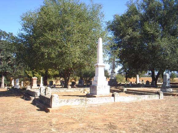
| Memorials | : | 378 |
| Location | : | Lincoln, Placer County, USA |
| Coordinate | : | 38.9444008, -121.3032990 |
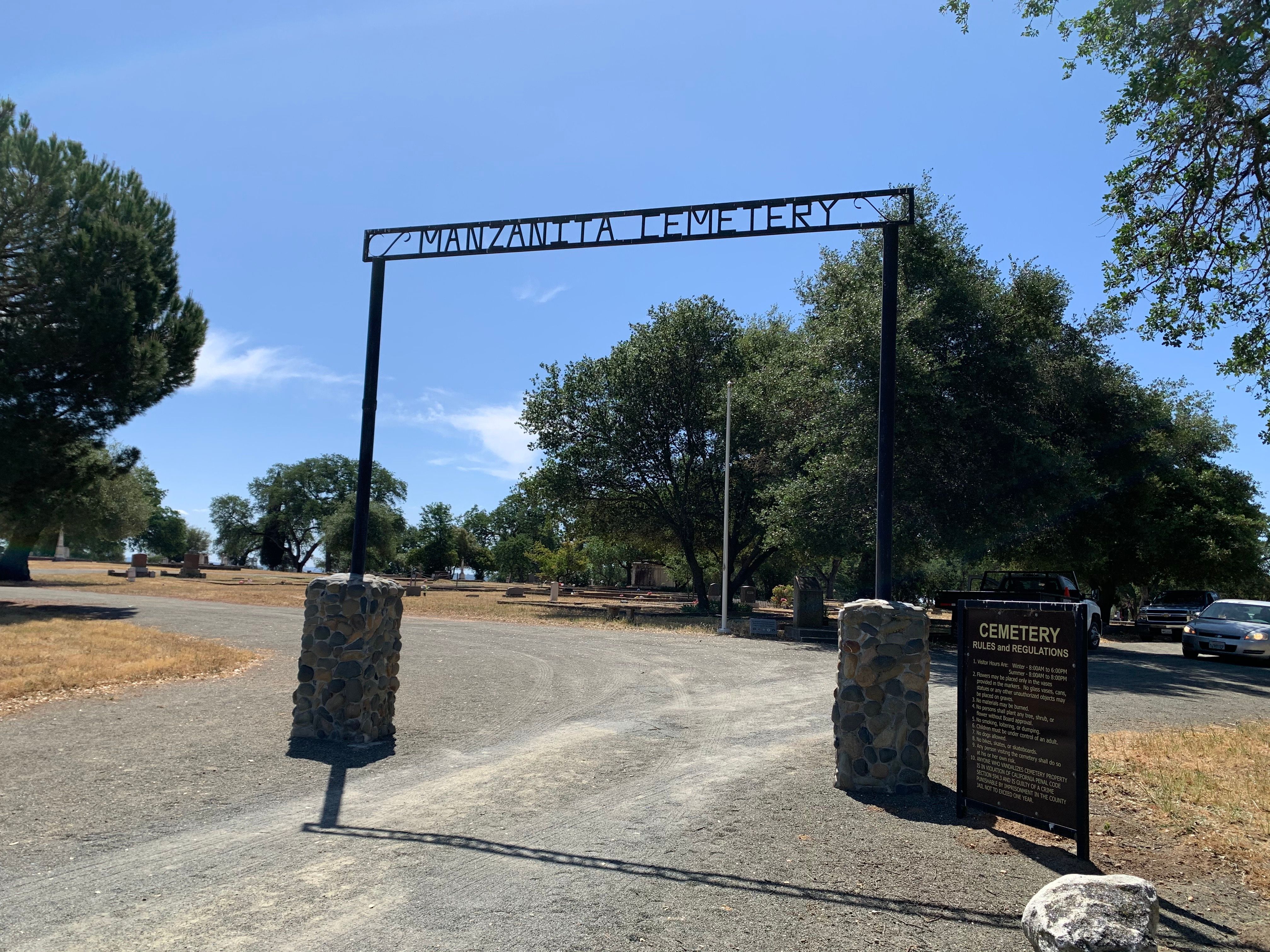
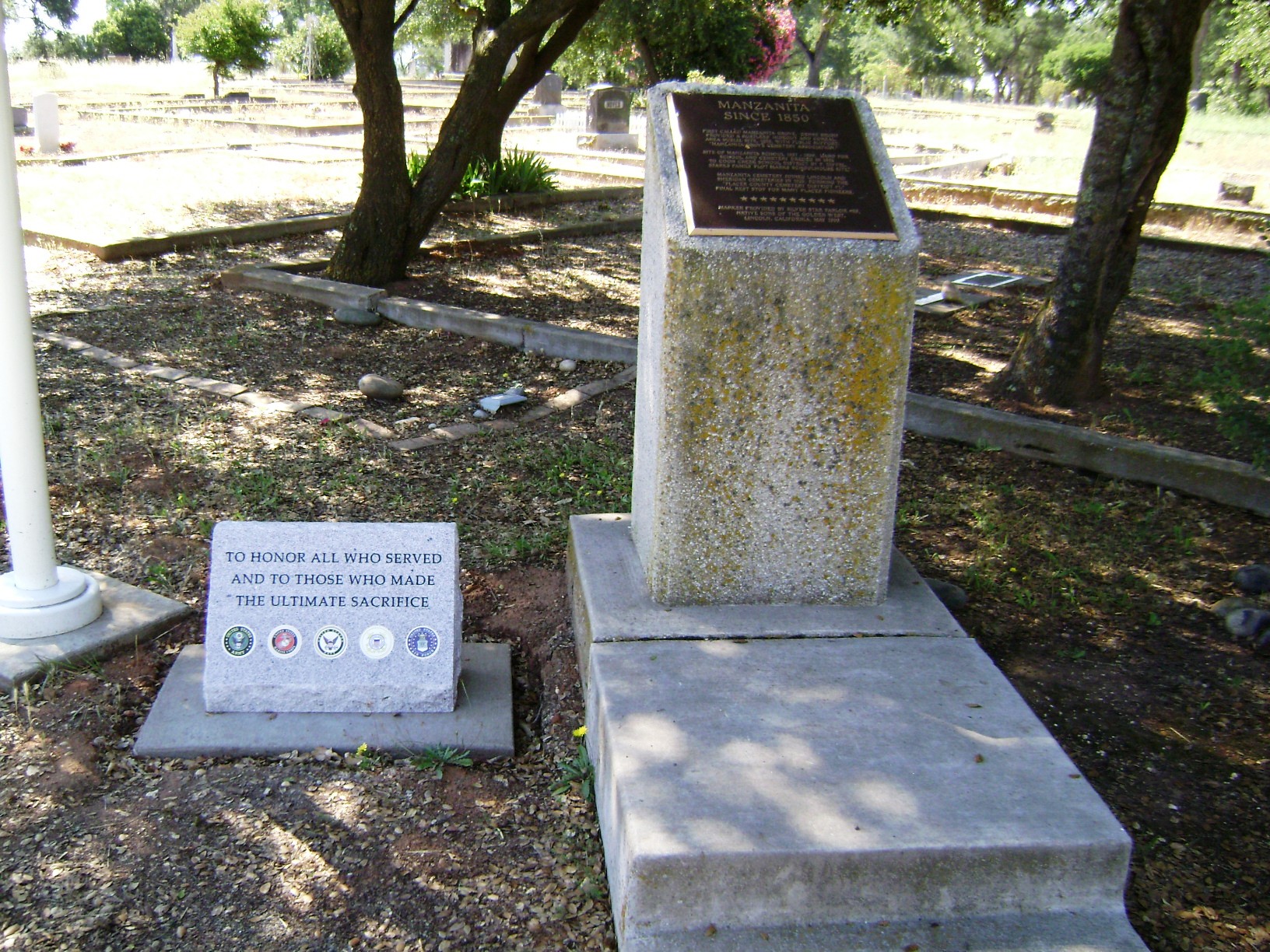
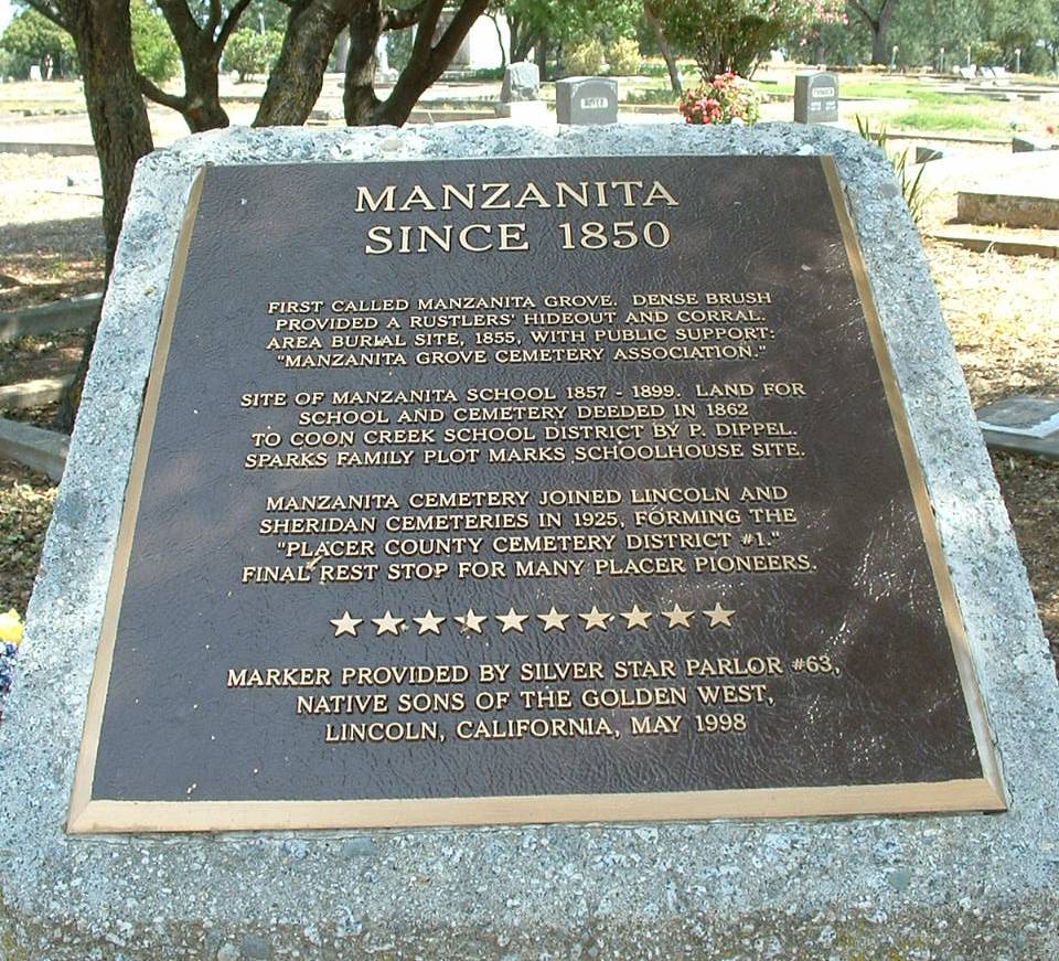
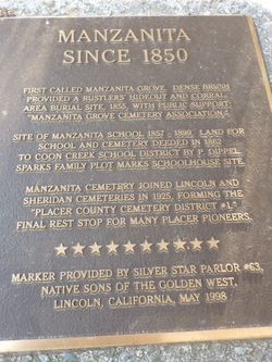
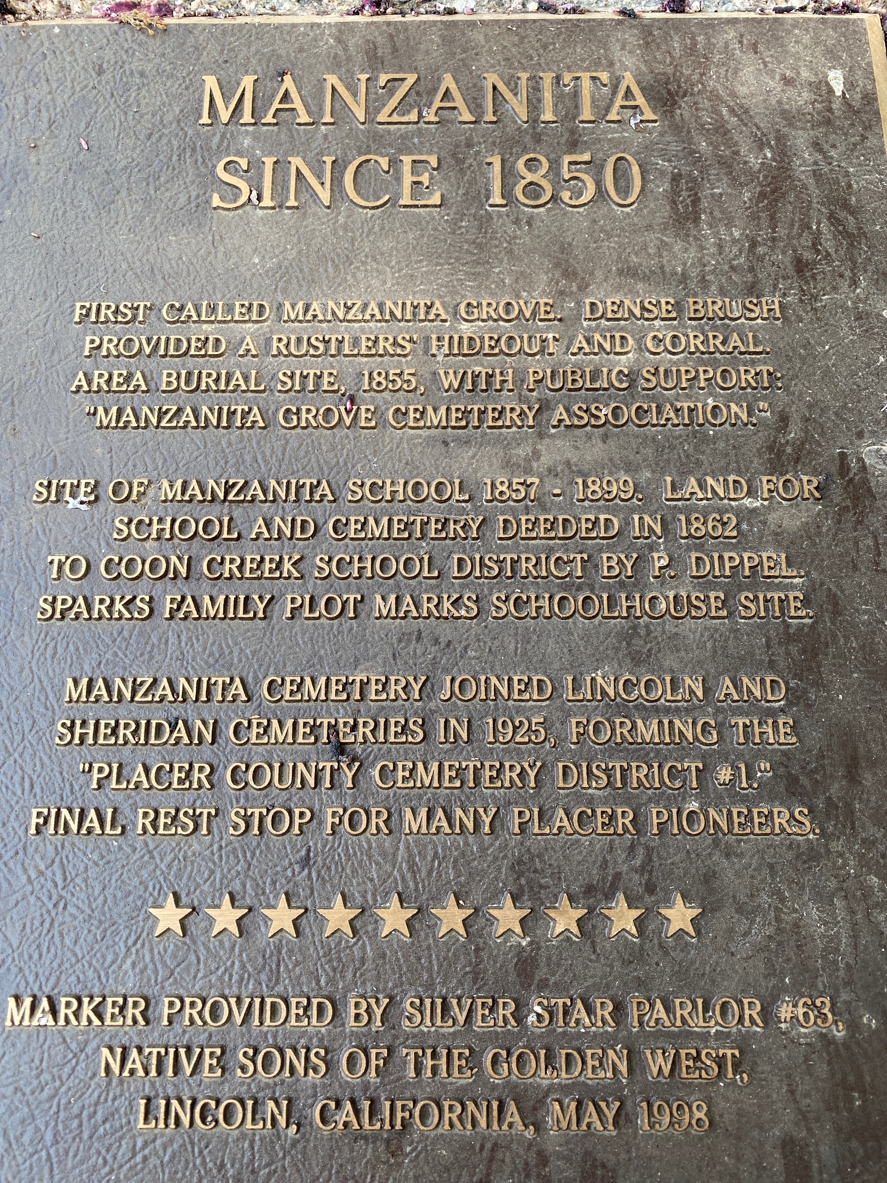
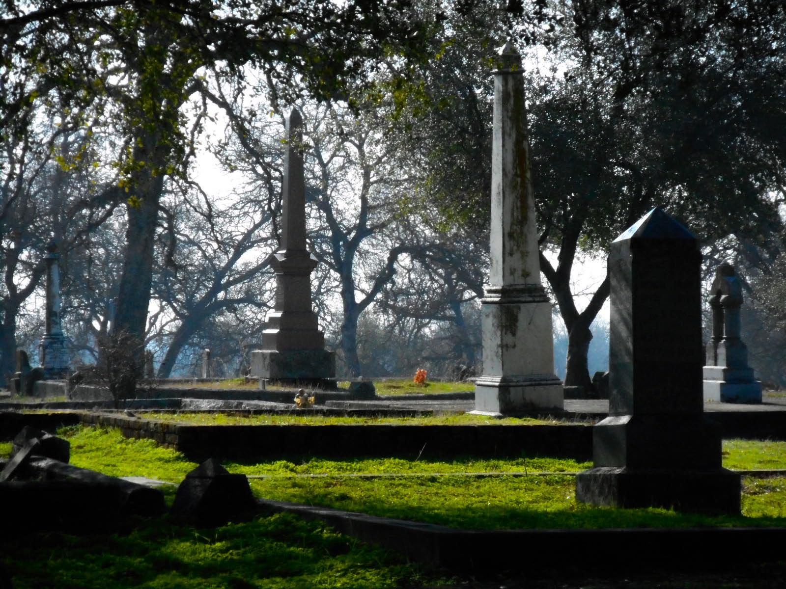
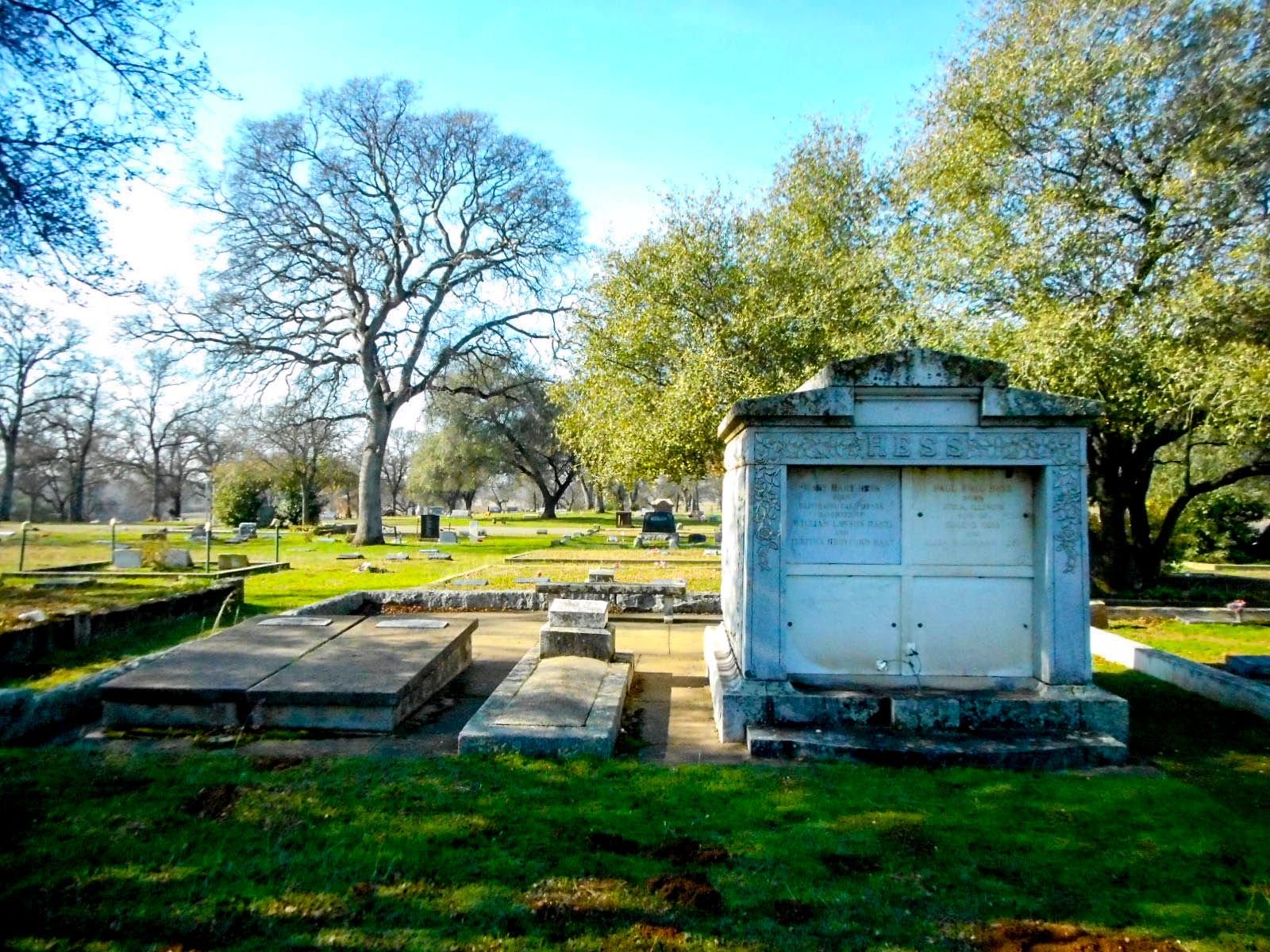
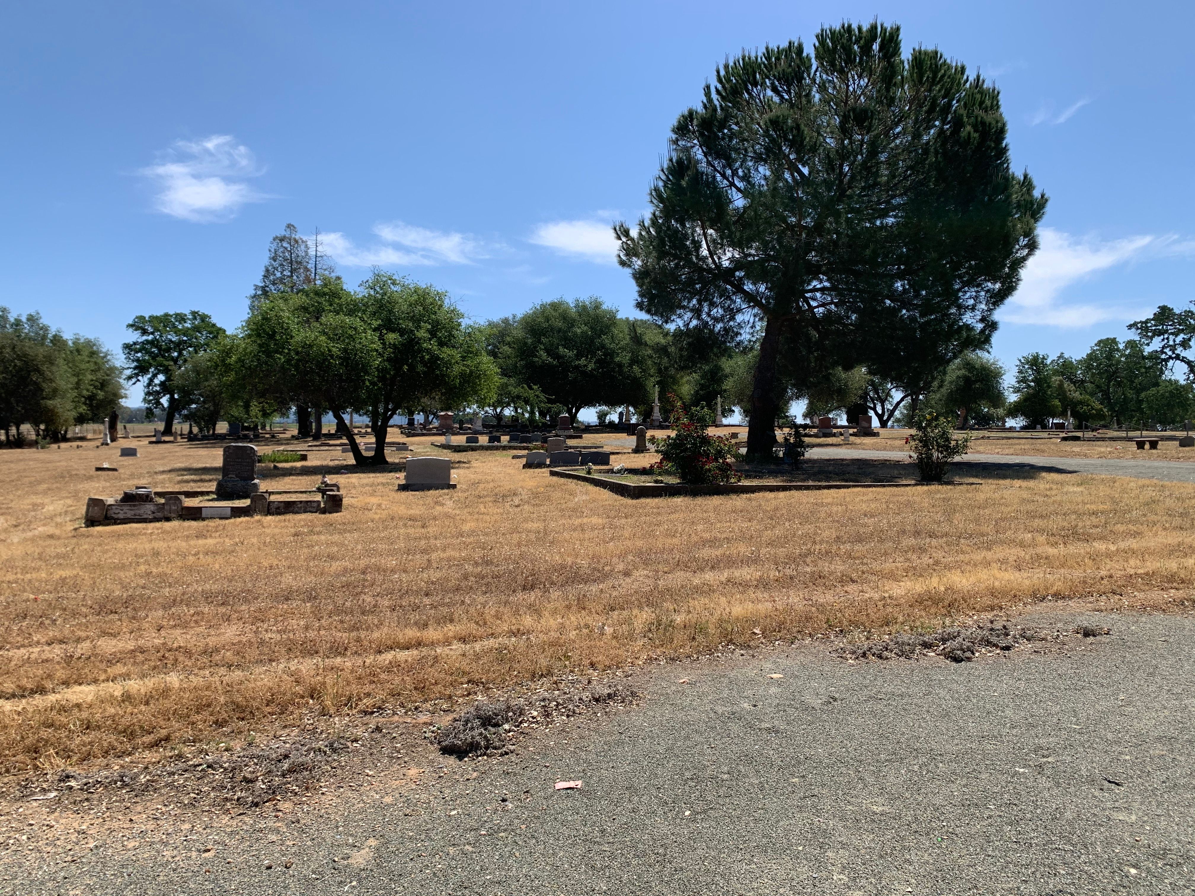
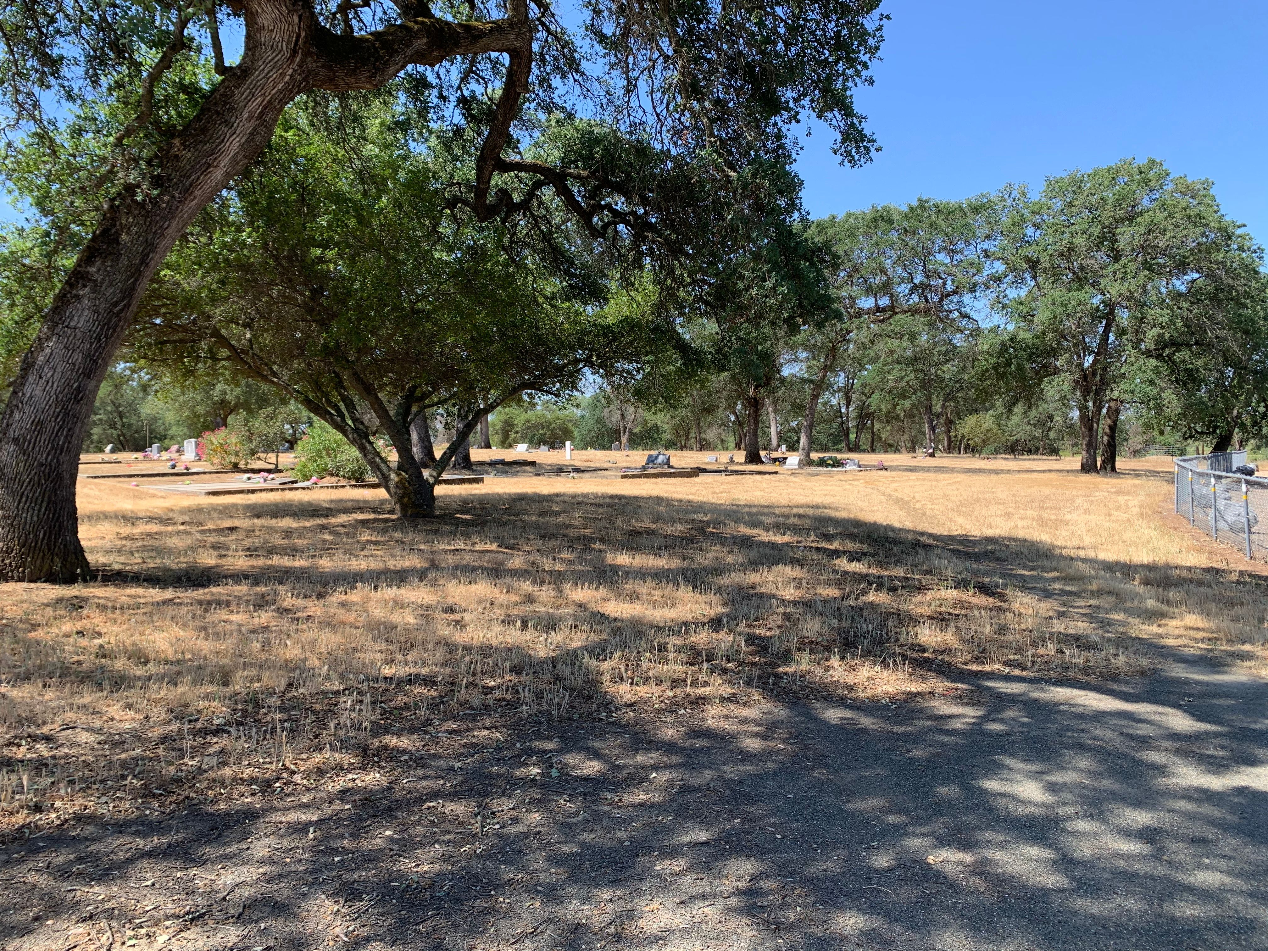
| Description | : | Founded in 1855 and became part of the Placer County Cemetery District in 1925. Placer Cemetery District #1 916-645-2475 |
frequently asked questions (FAQ):
-
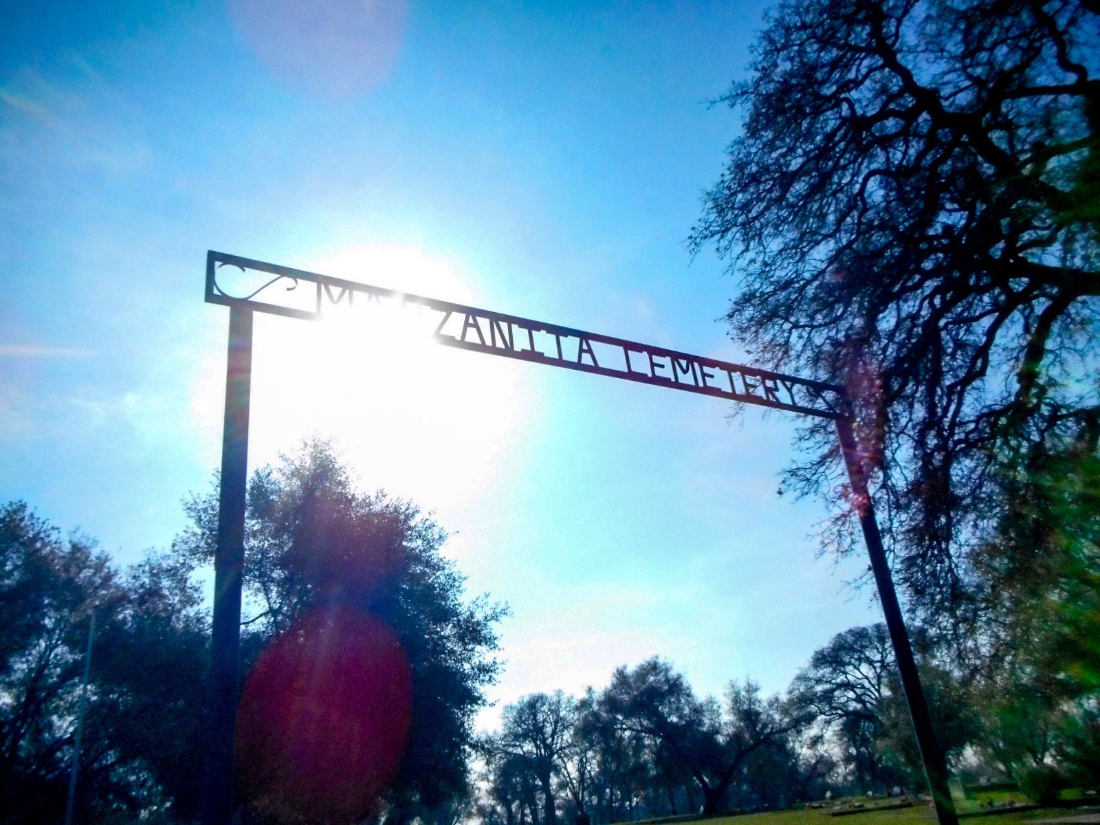
Where is Manzanita Cemetery?
Manzanita Cemetery is located at Manzanita Road Lincoln, Placer County ,California , 95648USA.
-
Manzanita Cemetery cemetery's updated grave count on graveviews.com?
378 memorials
-
Where are the coordinates of the Manzanita Cemetery?
Latitude: 38.9444008
Longitude: -121.3032990
Nearby Cemetories:
1. Morgan Oaks Eternal Preserve
Lincoln, Placer County, USA
Coordinate: 38.9629050, -121.2860530
2. Sheridan Cemetery
Sheridan, Placer County, USA
Coordinate: 38.9741000, -121.3585300
3. Santa Clara Memorial Park
Lincoln, Placer County, USA
Coordinate: 38.8894710, -121.3260560
4. Lincoln Cemetery
Lincoln, Placer County, USA
Coordinate: 38.8864310, -121.3020500
5. Camp Far West Cemetery
Wheatland, Yuba County, USA
Coordinate: 39.0395500, -121.3431400
6. Gold Hill Cemetery
Gold Hill, Placer County, USA
Coordinate: 38.9025000, -121.1802200
7. Wheatland Cemetery
Wheatland, Yuba County, USA
Coordinate: 39.0083008, -121.4360962
8. Whitney Family Mausoleum
Rocklin, Placer County, USA
Coordinate: 38.8256500, -121.2477000
9. Lone Star Cemetery
Placer County, USA
Coordinate: 38.9757996, -121.1380997
10. Lofton Cemetery
Yuba County, USA
Coordinate: 39.0783005, -121.3696976
11. Newcastle Cemetery
Newcastle, Placer County, USA
Coordinate: 38.8708880, -121.1444060
12. Ophir Cemetery
Placer County, USA
Coordinate: 38.8928870, -121.1273790
13. Stewarts Flat Cemetery
Penryn, Placer County, USA
Coordinate: 38.8447360, -121.1507950
14. Wells Cemetery
Auburn, Placer County, USA
Coordinate: 38.9667000, -121.1054900
15. School House Park Cemetery
Roseville, Placer County, USA
Coordinate: 38.7893180, -121.3578670
16. Cabbage Patch Cemetery
Waldo Junction, Yuba County, USA
Coordinate: 39.1117300, -121.3066200
17. Rocklin Cemetery
Rocklin, Placer County, USA
Coordinate: 38.7827670, -121.2337980
18. Fairview Cemetery
Rio Oso, Sutter County, USA
Coordinate: 38.9389000, -121.5250015
19. New Auburn Cemetery
Auburn, Placer County, USA
Coordinate: 38.9026900, -121.0870800
20. Chinese Cemetery
Auburn, Placer County, USA
Coordinate: 38.9183502, -121.0802383
21. Shepherd of the Sierra Memorial Garden
Loomis, Placer County, USA
Coordinate: 38.7890800, -121.1944200
22. Old Auburn Cemetery
Auburn, Placer County, USA
Coordinate: 38.9023720, -121.0812230
23. Clark Ashton Smith Gravesite
Auburn, Placer County, USA
Coordinate: 38.8952100, -121.0770500
24. First Congregational Church Memorial Garden
Auburn, Placer County, USA
Coordinate: 38.9118660, -121.0711770