| Memorials | : | 14 |
| Location | : | Sheridan, Placer County, USA |
| Coordinate | : | 38.9741000, -121.3585300 |
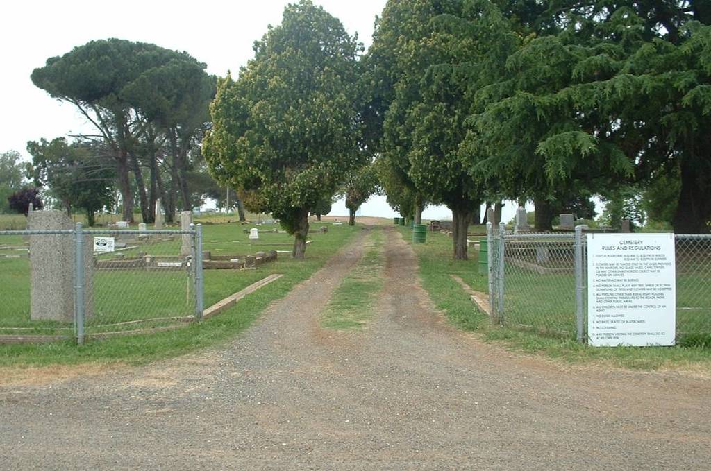
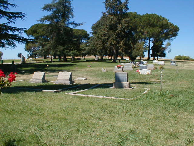
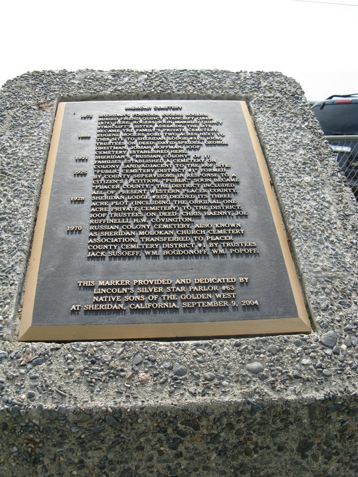
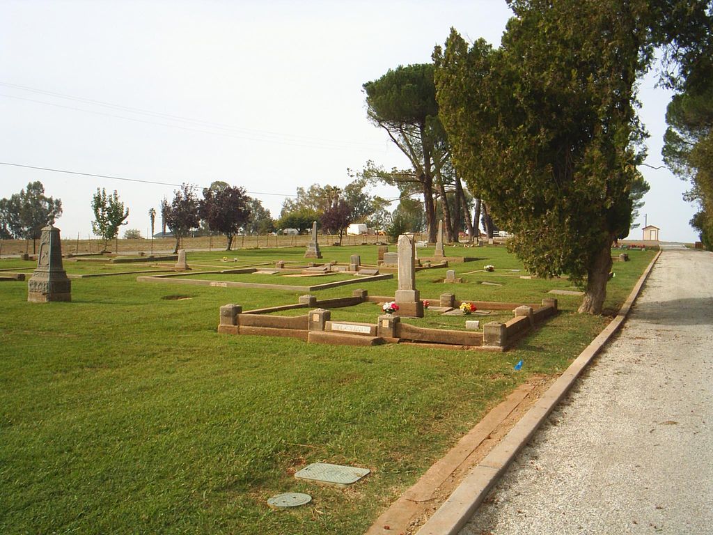
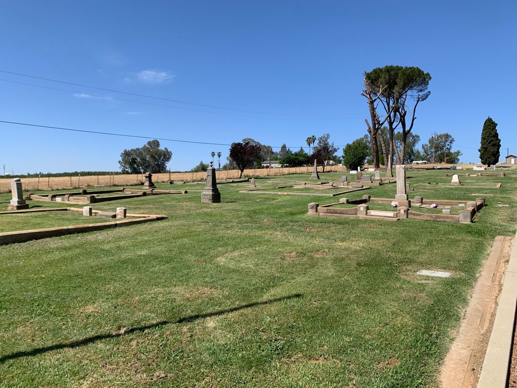
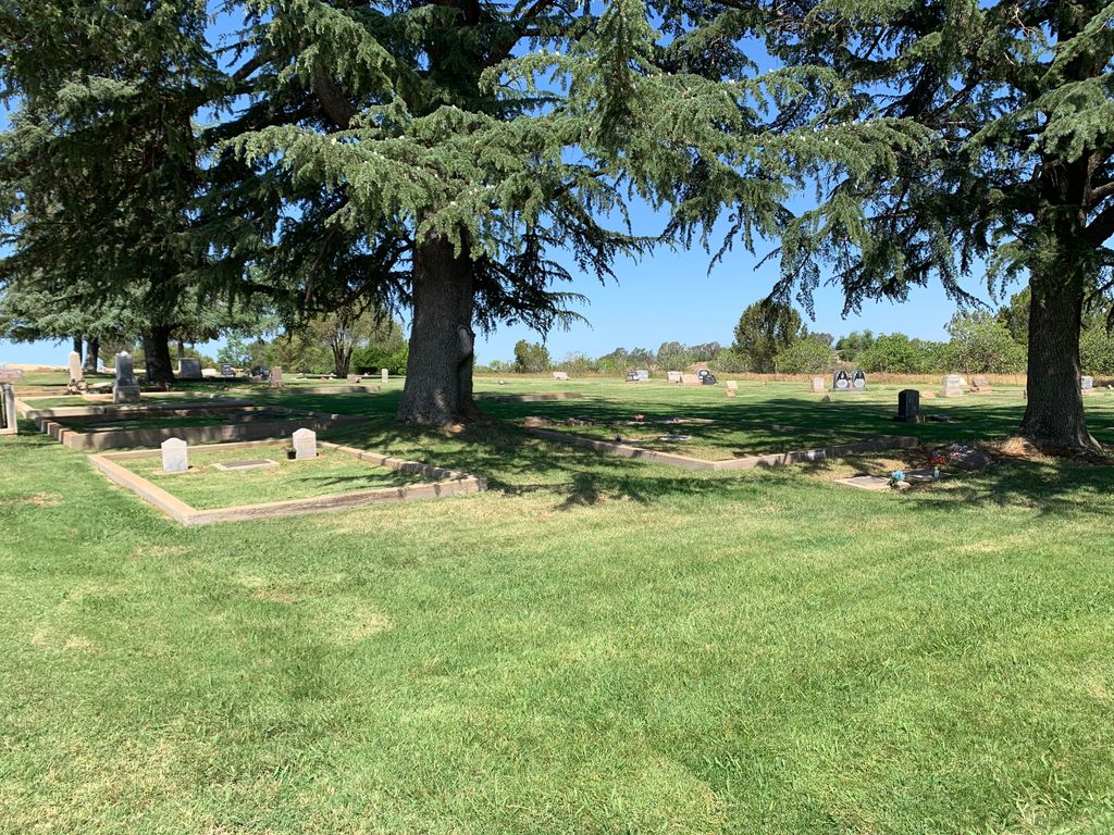
| Description | : | First burial at this location, then a private family cemetery, was in 1875. In 1888, the IOOF established their cemetery adjacent to the family cemetery. In 1921, a Russian colony of settlers established their cemetery adjacent to the IOOF cemetery. In 1928, the family cemetery and the IOOF cemetery deeded their cemeteries to Placer County Cemetery District #1. In 1970, the Russian cemetery transferred title of their cemetery to the Placer County Cemetery District #1. Placer Cemetery District #1 916-645-2475 |
frequently asked questions (FAQ):
-
Where is Sheridan Cemetery?
Sheridan Cemetery is located at Ranch House Road Sheridan, Placer County ,California , 95681USA.
-
Sheridan Cemetery cemetery's updated grave count on graveviews.com?
14 memorials
-
Where are the coordinates of the Sheridan Cemetery?
Latitude: 38.9741000
Longitude: -121.3585300
Nearby Cemetories:
1. Manzanita Cemetery
Lincoln, Placer County, USA
Coordinate: 38.9444008, -121.3032990
2. Morgan Oaks Eternal Preserve
Lincoln, Placer County, USA
Coordinate: 38.9629050, -121.2860530
3. Camp Far West Cemetery
Wheatland, Yuba County, USA
Coordinate: 39.0395500, -121.3431400
4. Wheatland Cemetery
Wheatland, Yuba County, USA
Coordinate: 39.0083008, -121.4360962
5. Santa Clara Memorial Park
Lincoln, Placer County, USA
Coordinate: 38.8894710, -121.3260560
6. Lincoln Cemetery
Lincoln, Placer County, USA
Coordinate: 38.8864310, -121.3020500
7. Lofton Cemetery
Yuba County, USA
Coordinate: 39.0783005, -121.3696976
8. Fairview Cemetery
Rio Oso, Sutter County, USA
Coordinate: 38.9389000, -121.5250015
9. Cabbage Patch Cemetery
Waldo Junction, Yuba County, USA
Coordinate: 39.1117300, -121.3066200
10. Gold Hill Cemetery
Gold Hill, Placer County, USA
Coordinate: 38.9025000, -121.1802200
11. Lone Star Cemetery
Placer County, USA
Coordinate: 38.9757996, -121.1380997
12. Whitney Family Mausoleum
Rocklin, Placer County, USA
Coordinate: 38.8256500, -121.2477000
13. Spenceville Ranch Cemetery
Penn Valley, Nevada County, USA
Coordinate: 39.1226330, -121.2425500
14. Kneebone Cemetery
Nevada County, USA
Coordinate: 39.1226333, -121.2425500
15. Nicolaus Cemetery
Nicolaus, Sutter County, USA
Coordinate: 38.8958015, -121.5639038
16. Sierra View Memorial Park
Olivehurst, Yuba County, USA
Coordinate: 39.0872002, -121.5363998
17. Vineyard Cemetery
Yuba County, USA
Coordinate: 39.1557900, -121.3281600
18. School House Park Cemetery
Roseville, Placer County, USA
Coordinate: 38.7893180, -121.3578670
19. Newcastle Cemetery
Newcastle, Placer County, USA
Coordinate: 38.8708880, -121.1444060
20. Wells Cemetery
Auburn, Placer County, USA
Coordinate: 38.9667000, -121.1054900
21. Pleasant Grove Cemetery
Pleasant Grove, Sutter County, USA
Coordinate: 38.8230000, -121.5206900
22. Ophir Cemetery
Placer County, USA
Coordinate: 38.8928870, -121.1273790
23. Elster Memorial Cemetery
Grass Valley, Nevada County, USA
Coordinate: 39.1050790, -121.1530230
24. Loney-Sanford Cemetery
Grass Valley, Nevada County, USA
Coordinate: 39.1047050, -121.1525290

