
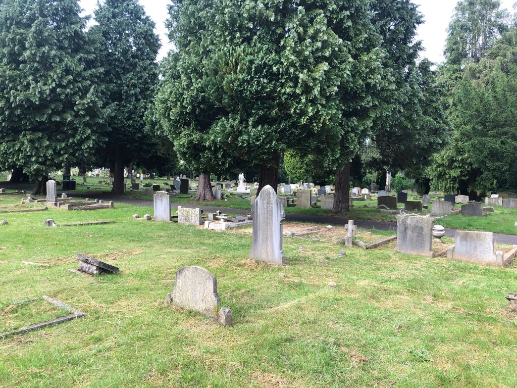
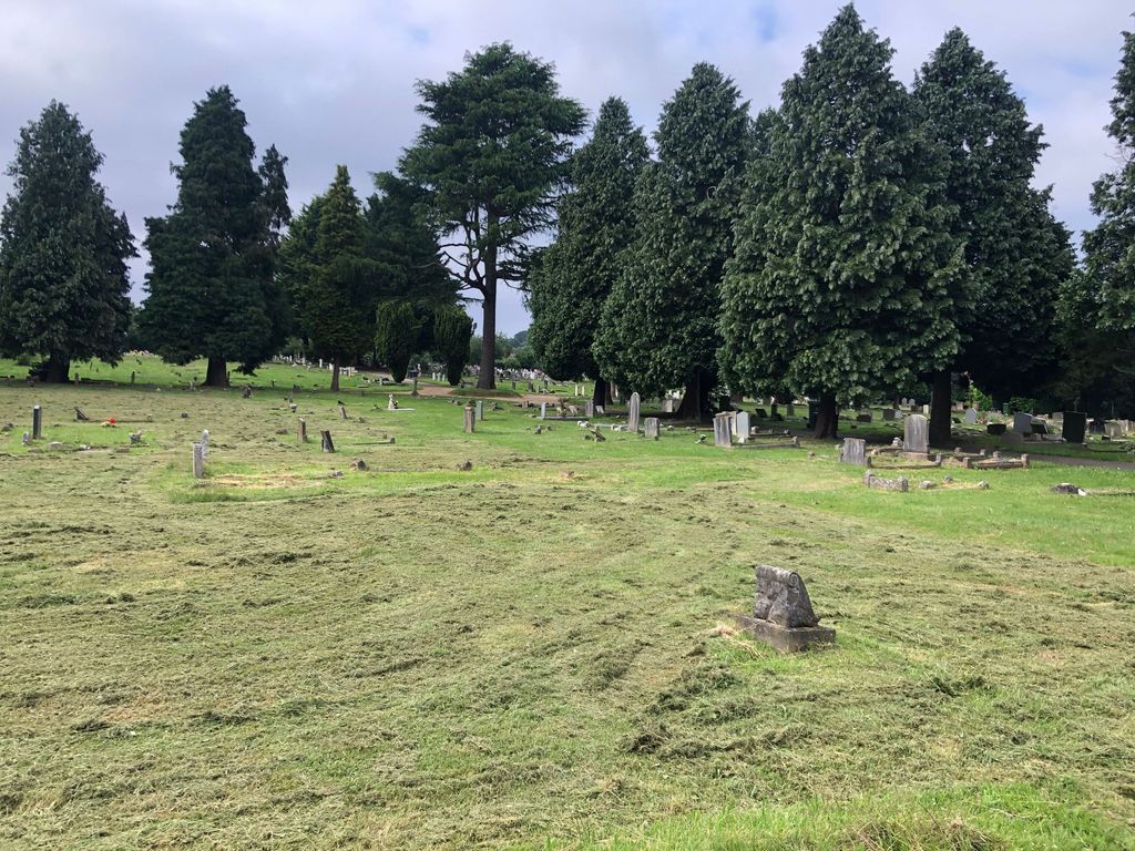
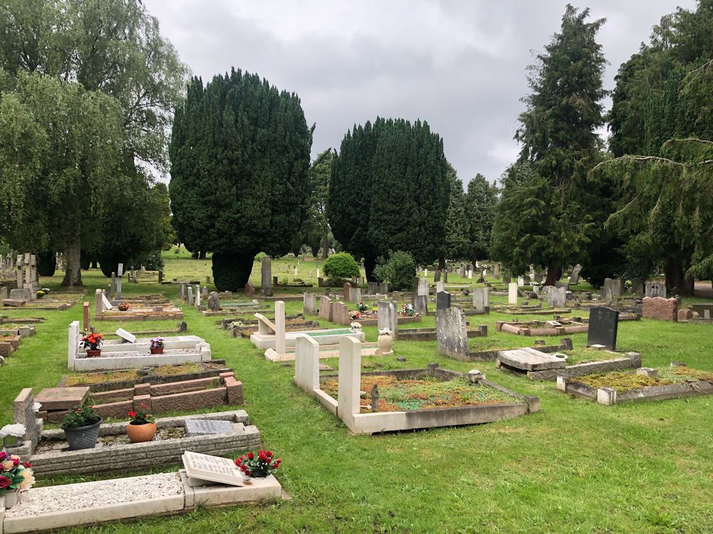
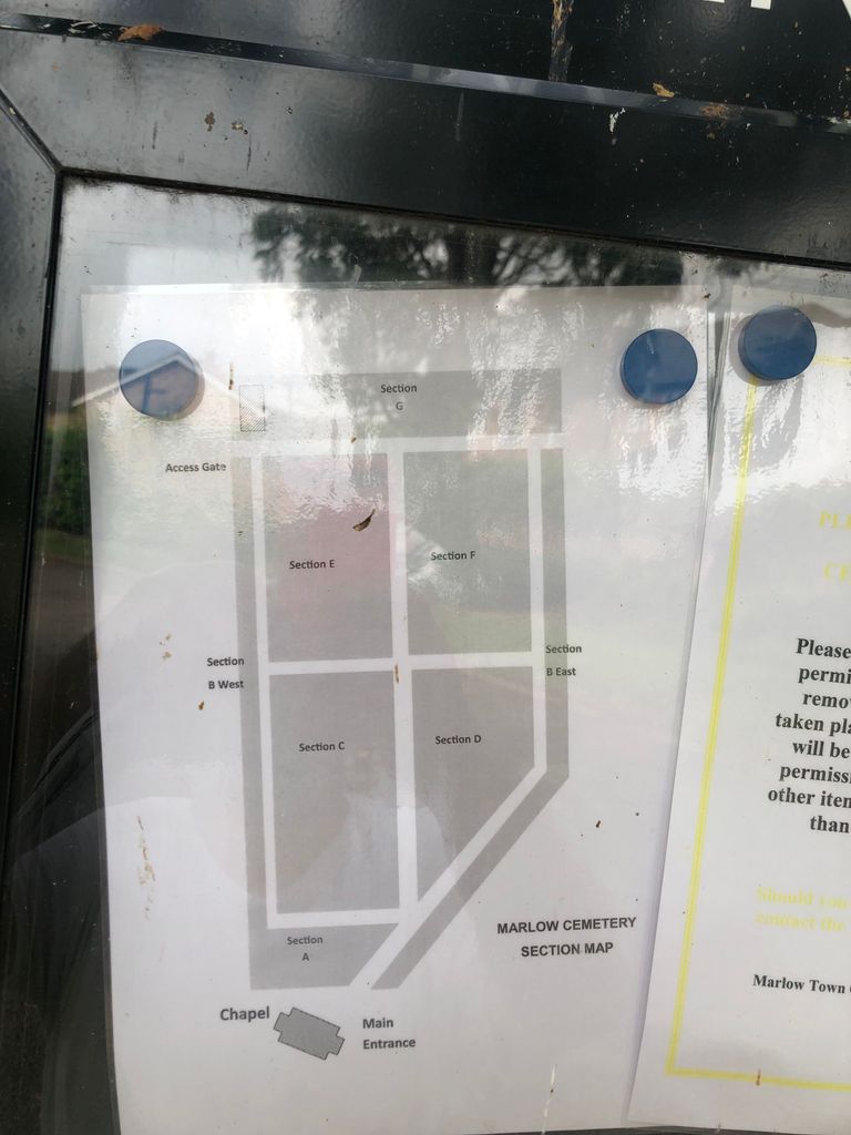
| Memorials | : | 0 |
| Location | : | Marlow, Wycombe District, England |
| Coordinate | : | 51.5773094, -0.7761266 |
frequently asked questions (FAQ):
-
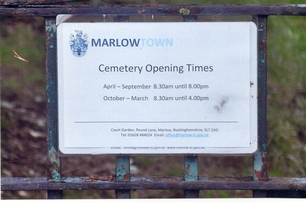
Where is Marlow Cemetery?
Marlow Cemetery is located at 13 Trinity Court Marlow, Wycombe District ,Buckinghamshire , SL7 3TZEngland.
-
Marlow Cemetery cemetery's updated grave count on graveviews.com?
0 memorials
-
Where are the coordinates of the Marlow Cemetery?
Latitude: 51.5773094
Longitude: -0.7761266
Nearby Cemetories:
1. Holy Trinity Churchyard
Marlow, Wycombe District, England
Coordinate: 51.5750000, -0.7768000
2. Christ Church
Marlow, Wycombe District, England
Coordinate: 51.5712799, -0.7795249
3. Sir William Borlase's Grammar School Chapel
Marlow, Wycombe District, England
Coordinate: 51.5702500, -0.7811730
4. St. Peter Roman Catholic Churchyard
Marlow, Wycombe District, England
Coordinate: 51.5695438, -0.7723466
5. All Saints Churchyard
Marlow, Wycombe District, England
Coordinate: 51.5679730, -0.7732080
6. All Saints Churchyard
Bisham, Windsor and Maidenhead Royal Borough, England
Coordinate: 51.5611410, -0.7780430
7. Bisham Priory
Bisham, Windsor and Maidenhead Royal Borough, England
Coordinate: 51.5566350, -0.7796570
8. St. John the Baptist Churchyard
Little Marlow, Wycombe District, England
Coordinate: 51.5826450, -0.7398600
9. St John the Baptist Churchyard
Cookham Dean, Windsor and Maidenhead Royal Borough, England
Coordinate: 51.5581960, -0.7447210
10. Fern Lane Cemetery
Little Marlow, Wycombe District, England
Coordinate: 51.5887390, -0.7273880
11. St Mary the Virgin Churchyard
Hurley, Windsor and Maidenhead Royal Borough, England
Coordinate: 51.5492640, -0.8103620
12. Cookham Parish Cemetery
Cookham, Windsor and Maidenhead Royal Borough, England
Coordinate: 51.5485170, -0.7270770
13. Holy Trinity Churchyard
Cookham, Windsor and Maidenhead Royal Borough, England
Coordinate: 51.5613910, -0.7074150
14. St Peter and St Paul Churchyard
Medmenham, Wycombe District, England
Coordinate: 51.5533800, -0.8407110
15. United Reformed Church Cemetery
Bourne End, Wycombe District, England
Coordinate: 51.5769930, -0.6972670
16. Bethel Chapel Cores End-Independent
Wooburn, Wycombe District, England
Coordinate: 51.5770400, -0.6971420
17. St James the Less Churchyard
Stubbings, Windsor and Maidenhead Royal Borough, England
Coordinate: 51.5274840, -0.7759100
18. Wooburn & Bourne End Cemetery
Wooburn, Wycombe District, England
Coordinate: 51.5795260, -0.6919400
19. St Nicholas Churchyard
Hedsor, Wycombe District, England
Coordinate: 51.5675780, -0.6924980
20. St. John the Evangelist Churchyard
Hambleden, Wycombe District, England
Coordinate: 51.6052700, -0.8514000
21. St. Paul's Churchyard
Wooburn, Wycombe District, England
Coordinate: 51.5816640, -0.6886330
22. All Saints Churchyard
High Wycombe, Wycombe District, England
Coordinate: 51.6298810, -0.7507090
23. High Wycombe Friends Burial Ground
High Wycombe, Wycombe District, England
Coordinate: 51.6282800, -0.7428870
24. Holy Trinity Churchyard
Lane End, Wycombe District, England
Coordinate: 51.6176000, -0.8368900