
| Memorials | : | 0 |
| Location | : | Washington County, USA |
| Coordinate | : | 35.8635950, -94.2410980 |
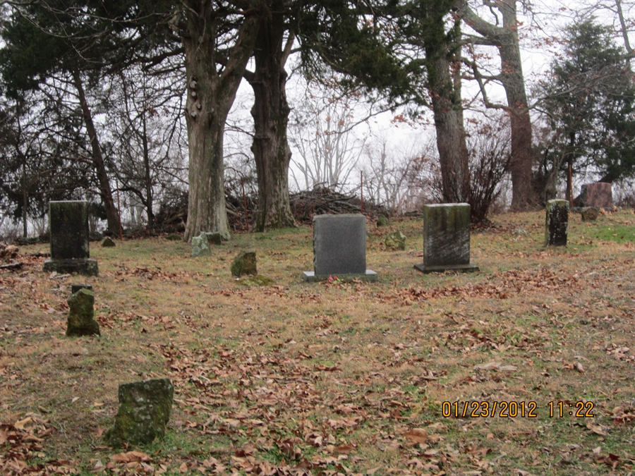
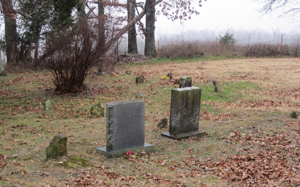
| Description | : | McClelland Cemetery is a well kept cemetery. Take Co Rd 170 West out of West Fork Ar. Go about 4.56 miles west to the junction of Co Rd 222,a left off of CO Rd 170 West. Keep left at a fork on Co rd 222 and go about one mile. McClelland Cemetery sits on the right,beside the road,easy to find! |
frequently asked questions (FAQ):
-
Where is McClelland Cemetery?
McClelland Cemetery is located at Washington County ,Arkansas ,USA.
-
McClelland Cemetery cemetery's updated grave count on graveviews.com?
0 memorials
-
Where are the coordinates of the McClelland Cemetery?
Latitude: 35.8635950
Longitude: -94.2410980


Nearby Cemetories:
1. Old Bethlehem Baptist Church Cemetery
Washington County, USA
Coordinate: 35.8481865, -94.2252731
2. Low Gap Cemetery
West Fork, Washington County, USA
Coordinate: 35.8658218, -94.2063904
3. Burris Cemetery
Washington County, USA
Coordinate: 35.8935000, -94.2482650
4. Holcomb Cemetery
West Fork, Washington County, USA
Coordinate: 35.8954065, -94.2519087
5. McDonald Cemetery
Onda, Washington County, USA
Coordinate: 35.8806000, -94.2799988
6. Serenity Place Cemetery
Washington County, USA
Coordinate: 35.8312100, -94.2665000
7. Choate Cemetery
Onda, Washington County, USA
Coordinate: 35.8938200, -94.2732500
8. Baker Cemetery
Onda, Washington County, USA
Coordinate: 35.8680992, -94.2910995
9. Union Star Cemetery
West Fork, Washington County, USA
Coordinate: 35.8922005, -94.2031021
10. Dripping Springs Cemetery
Onda, Washington County, USA
Coordinate: 35.8584310, -94.2932080
11. Friendship Cemetery
West Fork, Washington County, USA
Coordinate: 35.9043740, -94.2217230
12. Zinnamon Cemetery
West Fork, Washington County, USA
Coordinate: 35.8230000, -94.2682000
13. Phillips Cemetery
Hogeye, Washington County, USA
Coordinate: 35.9119760, -94.2556360
14. Parks Cemetery
Hogeye, Washington County, USA
Coordinate: 35.8988991, -94.2906036
15. Howell Cemetery
Prairie Grove, Washington County, USA
Coordinate: 35.9056015, -94.2835999
16. Billingsley Cemetery
West Fork, Washington County, USA
Coordinate: 35.9132996, -94.2716980
17. Carney Cemetery
Washington County, USA
Coordinate: 35.9242710, -94.2484530
18. Fall Creek Cemetery
Strickler, Washington County, USA
Coordinate: 35.8344110, -94.3098330
19. Karnes Cemetery
West Fork, Washington County, USA
Coordinate: 35.9084930, -94.1865082
20. Rutherford Cemetery
Prairie Grove, Washington County, USA
Coordinate: 35.9305992, -94.2825012
21. West Fork Cemetery
West Fork, Washington County, USA
Coordinate: 35.9324989, -94.1932983
22. Brewster Simpson Cemetery
Washington County, USA
Coordinate: 35.8609620, -94.3390260
23. Morrow Cemetery
Washington County, USA
Coordinate: 35.8492012, -94.3380966
24. English Cemetery
Strickler, Washington County, USA
Coordinate: 35.7970000, -94.3015770