
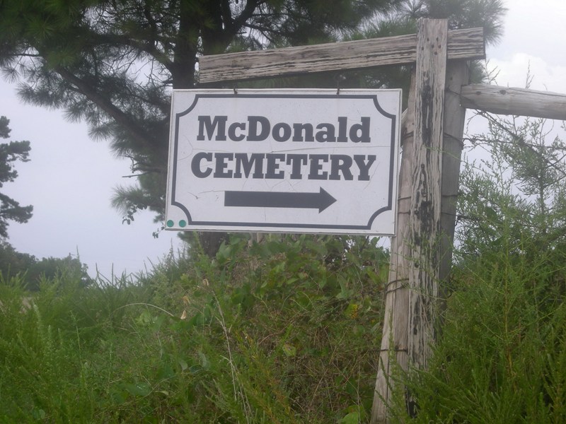
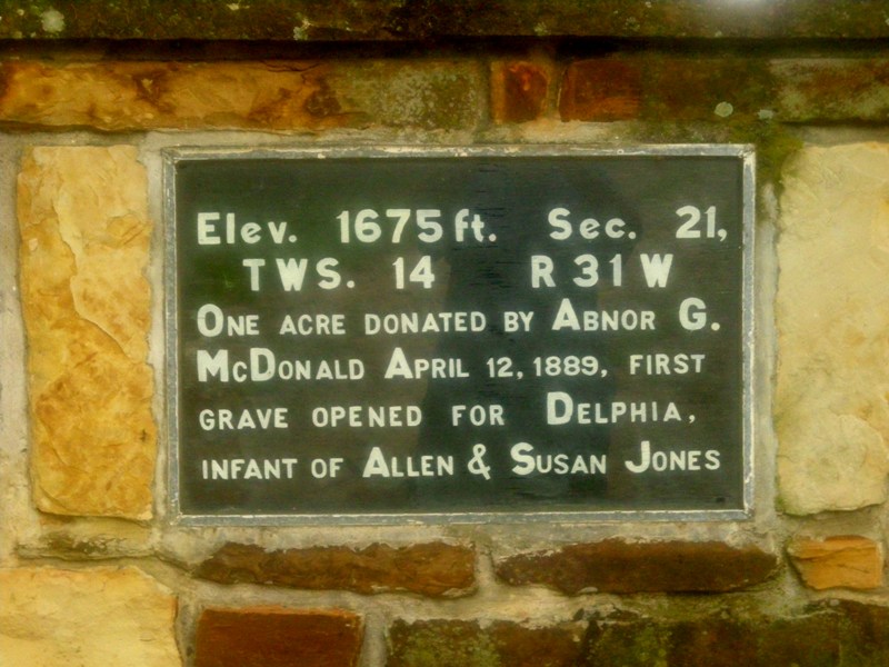
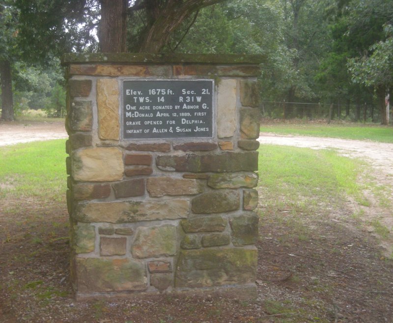
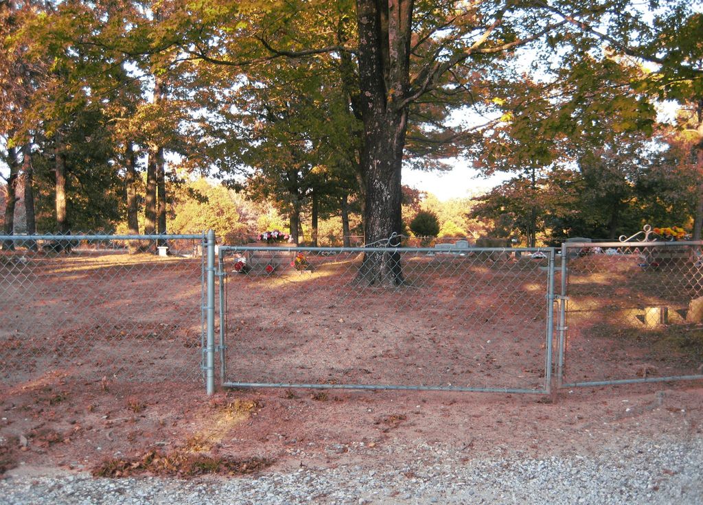
| Memorials | : | 1 |
| Location | : | Onda, Washington County, USA |
| Coordinate | : | 35.8806000, -94.2799988 |
frequently asked questions (FAQ):
-
Where is McDonald Cemetery?
McDonald Cemetery is located at Onda, Washington County ,Arkansas ,USA.
-
McDonald Cemetery cemetery's updated grave count on graveviews.com?
1 memorials
-
Where are the coordinates of the McDonald Cemetery?
Latitude: 35.8806000
Longitude: -94.2799988
Nearby Cemetories:
1. Choate Cemetery
Onda, Washington County, USA
Coordinate: 35.8938200, -94.2732500
2. Baker Cemetery
Onda, Washington County, USA
Coordinate: 35.8680992, -94.2910995
3. Parks Cemetery
Hogeye, Washington County, USA
Coordinate: 35.8988991, -94.2906036
4. Dripping Springs Cemetery
Onda, Washington County, USA
Coordinate: 35.8584310, -94.2932080
5. Howell Cemetery
Prairie Grove, Washington County, USA
Coordinate: 35.9056015, -94.2835999
6. Holcomb Cemetery
West Fork, Washington County, USA
Coordinate: 35.8954065, -94.2519087
7. Burris Cemetery
Washington County, USA
Coordinate: 35.8935000, -94.2482650
8. Billingsley Cemetery
West Fork, Washington County, USA
Coordinate: 35.9132996, -94.2716980
9. McClelland Cemetery
Washington County, USA
Coordinate: 35.8635950, -94.2410980
10. Phillips Cemetery
Hogeye, Washington County, USA
Coordinate: 35.9119760, -94.2556360
11. Rutherford Cemetery
Prairie Grove, Washington County, USA
Coordinate: 35.9305992, -94.2825012
12. Serenity Place Cemetery
Washington County, USA
Coordinate: 35.8312100, -94.2665000
13. Carney Cemetery
Washington County, USA
Coordinate: 35.9242710, -94.2484530
14. Brewster Simpson Cemetery
Washington County, USA
Coordinate: 35.8609620, -94.3390260
15. Fall Creek Cemetery
Strickler, Washington County, USA
Coordinate: 35.8344110, -94.3098330
16. Friendship Cemetery
West Fork, Washington County, USA
Coordinate: 35.9043740, -94.2217230
17. Old Bethlehem Baptist Church Cemetery
Washington County, USA
Coordinate: 35.8481865, -94.2252731
18. Morrow Cemetery
Washington County, USA
Coordinate: 35.8492012, -94.3380966
19. Scott Cemetery
Prairie Grove, Washington County, USA
Coordinate: 35.8591995, -94.3460999
20. Zinnamon Cemetery
West Fork, Washington County, USA
Coordinate: 35.8230000, -94.2682000
21. Sharp Cemetery
Prairie Grove, Washington County, USA
Coordinate: 35.9393997, -94.2827988
22. New Hope Cemetery
Washington County, USA
Coordinate: 35.9019012, -94.3491974
23. Pleasant Home Cemetery
Prairie Grove, Washington County, USA
Coordinate: 35.9276500, -94.3283600
24. Low Gap Cemetery
West Fork, Washington County, USA
Coordinate: 35.8658218, -94.2063904