
| Memorials | : | 6 |
| Location | : | West Fork, Washington County, USA |
| Coordinate | : | 35.8658218, -94.2063904 |
frequently asked questions (FAQ):
-
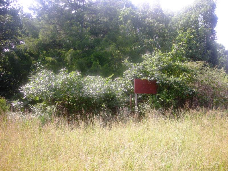
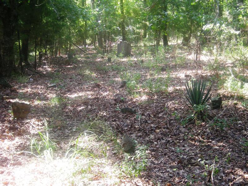
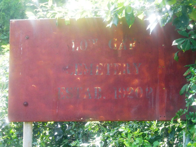
Where is Low Gap Cemetery?
Low Gap Cemetery is located at Union Star Rd. West Fork, Washington County ,Arkansas ,USA.
-
Low Gap Cemetery cemetery's updated grave count on graveviews.com?
6 memorials
-
Where are the coordinates of the Low Gap Cemetery?
Latitude: 35.8658218
Longitude: -94.2063904
Nearby Cemetories:
1. Old Bethlehem Baptist Church Cemetery
Washington County, USA
Coordinate: 35.8481865, -94.2252731
2. Union Star Cemetery
West Fork, Washington County, USA
Coordinate: 35.8922005, -94.2031021
3. McClelland Cemetery
Washington County, USA
Coordinate: 35.8635950, -94.2410980
4. Friendship Cemetery
West Fork, Washington County, USA
Coordinate: 35.9043740, -94.2217230
5. Burris Cemetery
Washington County, USA
Coordinate: 35.8935000, -94.2482650
6. Karnes Cemetery
West Fork, Washington County, USA
Coordinate: 35.9084930, -94.1865082
7. Holcomb Cemetery
West Fork, Washington County, USA
Coordinate: 35.8954065, -94.2519087
8. Serenity Place Cemetery
Washington County, USA
Coordinate: 35.8312100, -94.2665000
9. Choate Cemetery
Onda, Washington County, USA
Coordinate: 35.8938200, -94.2732500
10. Phillips Cemetery
Hogeye, Washington County, USA
Coordinate: 35.9119760, -94.2556360
11. McDonald Cemetery
Onda, Washington County, USA
Coordinate: 35.8806000, -94.2799988
12. Zinnamon Cemetery
West Fork, Washington County, USA
Coordinate: 35.8230000, -94.2682000
13. West Fork Cemetery
West Fork, Washington County, USA
Coordinate: 35.9324989, -94.1932983
14. Carney Cemetery
Washington County, USA
Coordinate: 35.9242710, -94.2484530
15. Baker Cemetery
Onda, Washington County, USA
Coordinate: 35.8680992, -94.2910995
16. Dripping Springs Cemetery
Onda, Washington County, USA
Coordinate: 35.8584310, -94.2932080
17. Billingsley Cemetery
West Fork, Washington County, USA
Coordinate: 35.9132996, -94.2716980
18. Howell Cemetery
Prairie Grove, Washington County, USA
Coordinate: 35.9056015, -94.2835999
19. Parks Cemetery
Hogeye, Washington County, USA
Coordinate: 35.8988991, -94.2906036
20. Mineral Springs Cemetery
West Fork, Washington County, USA
Coordinate: 35.9264980, -94.1349980
21. Brentwood Cemetery
Brentwood, Washington County, USA
Coordinate: 35.8550340, -94.1021940
22. John A Rutherford - Martin Cemetery
Washington County, USA
Coordinate: 35.9513950, -94.2011490
23. Bryant Cemetery
Washington County, USA
Coordinate: 35.9514250, -94.2011060
24. John Westley Rutherford Cemetery
Washington County, USA
Coordinate: 35.9486760, -94.1669400