
| Memorials | : | 2 |
| Location | : | Washington County, USA |
| Coordinate | : | 35.8935000, -94.2482650 |
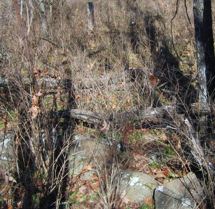
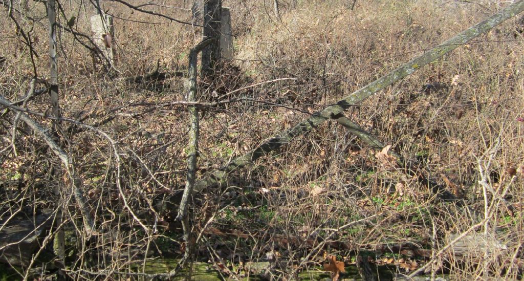
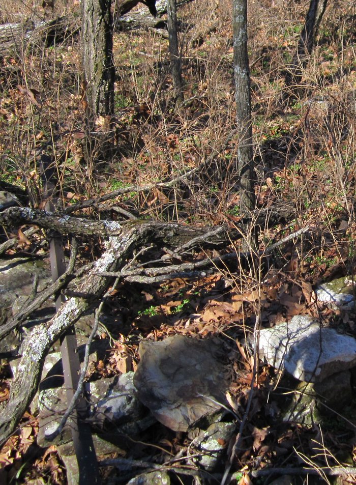
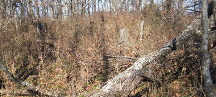
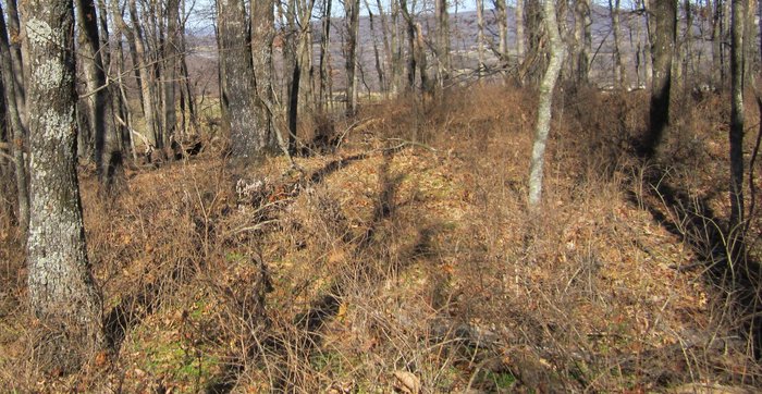
| Description | : | Burris Family Cemetery sits upon a hill surrounded by a stone wall. This is a long forgotten cemetery,yet here lies at least five soliders of the Civil War!. The cemetery itself is actually 1/4 mile north of where it suppose to be on the cemetery lot in Section 14 Township 14,Range 31. If you go straight North from this cemetery lot you come upon the top of a hill,where the cemetery lies. There were stories that graves had been opened but this is not true!. Only a couple graves have sunken in,not opened! There are five marked graves and... Read More |
frequently asked questions (FAQ):
-
Where is Burris Cemetery?
Burris Cemetery is located at Close to Co Rd 227, between Co Rd 227 and Co Rd 3224 Washington County ,Arkansas ,USA.
-
Burris Cemetery cemetery's updated grave count on graveviews.com?
2 memorials
-
Where are the coordinates of the Burris Cemetery?
Latitude: 35.8935000
Longitude: -94.2482650
Nearby Cemetories:
1. Holcomb Cemetery
West Fork, Washington County, USA
Coordinate: 35.8954065, -94.2519087
2. Phillips Cemetery
Hogeye, Washington County, USA
Coordinate: 35.9119760, -94.2556360
3. Choate Cemetery
Onda, Washington County, USA
Coordinate: 35.8938200, -94.2732500
4. Friendship Cemetery
West Fork, Washington County, USA
Coordinate: 35.9043740, -94.2217230
5. Billingsley Cemetery
West Fork, Washington County, USA
Coordinate: 35.9132996, -94.2716980
6. McDonald Cemetery
Onda, Washington County, USA
Coordinate: 35.8806000, -94.2799988
7. McClelland Cemetery
Washington County, USA
Coordinate: 35.8635950, -94.2410980
8. Carney Cemetery
Washington County, USA
Coordinate: 35.9242710, -94.2484530
9. Howell Cemetery
Prairie Grove, Washington County, USA
Coordinate: 35.9056015, -94.2835999
10. Parks Cemetery
Hogeye, Washington County, USA
Coordinate: 35.8988991, -94.2906036
11. Union Star Cemetery
West Fork, Washington County, USA
Coordinate: 35.8922005, -94.2031021
12. Baker Cemetery
Onda, Washington County, USA
Coordinate: 35.8680992, -94.2910995
13. Low Gap Cemetery
West Fork, Washington County, USA
Coordinate: 35.8658218, -94.2063904
14. Rutherford Cemetery
Prairie Grove, Washington County, USA
Coordinate: 35.9305992, -94.2825012
15. Old Bethlehem Baptist Church Cemetery
Washington County, USA
Coordinate: 35.8481865, -94.2252731
16. Dripping Springs Cemetery
Onda, Washington County, USA
Coordinate: 35.8584310, -94.2932080
17. Karnes Cemetery
West Fork, Washington County, USA
Coordinate: 35.9084930, -94.1865082
18. Sharp Cemetery
Prairie Grove, Washington County, USA
Coordinate: 35.9393997, -94.2827988
19. West Fork Cemetery
West Fork, Washington County, USA
Coordinate: 35.9324989, -94.1932983
20. Serenity Place Cemetery
Washington County, USA
Coordinate: 35.8312100, -94.2665000
21. Stevenson Leach Cemetery
Prairie Grove, Washington County, USA
Coordinate: 35.9586000, -94.2524000
22. Barron Cemetery
Greenland, Washington County, USA
Coordinate: 35.9599440, -94.2355570
23. John A Rutherford - Martin Cemetery
Washington County, USA
Coordinate: 35.9513950, -94.2011490
24. Bryant Cemetery
Washington County, USA
Coordinate: 35.9514250, -94.2011060