
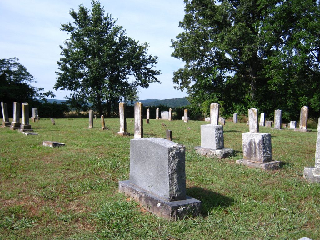
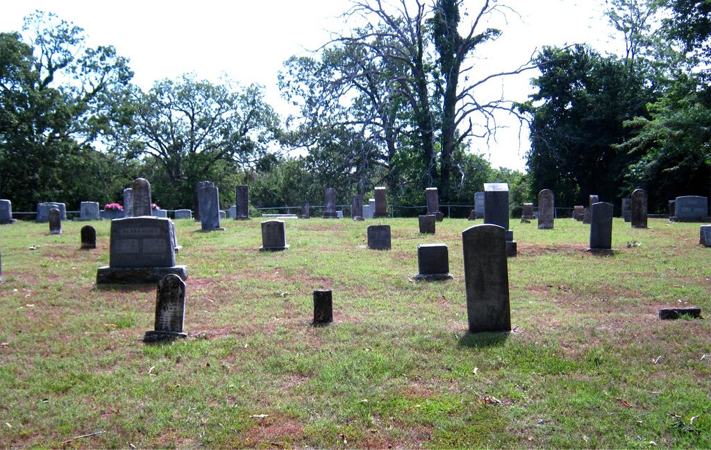
| Memorials | : | 2 |
| Location | : | Prairie Grove, Washington County, USA |
| Coordinate | : | 35.9305992, -94.2825012 |
| Description | : | Take Mock Street south off of US Highway 62-E, follow for 2.2 miles and it becomes Hogeye Road, continue another 2.4 miles, and turn right onto Baker Mountain Road. There is no sign denoting the cemetery, and it is down a single-lane dirt road about 3/4 mile north off of Baker Mountain Road. The north-south road leading to the cemetery is immediately past a rural mailbox for 12090 Baker Mountain Road, and is the only way to know you have found it, unless you have a GPS. |
frequently asked questions (FAQ):
-
Where is Rutherford Cemetery?
Rutherford Cemetery is located at 12898 Baker Mountain Road Prairie Grove, Washington County ,Arkansas ,USA.
-
Rutherford Cemetery cemetery's updated grave count on graveviews.com?
2 memorials
-
Where are the coordinates of the Rutherford Cemetery?
Latitude: 35.9305992
Longitude: -94.2825012
Nearby Cemetories:
1. Sharp Cemetery
Prairie Grove, Washington County, USA
Coordinate: 35.9393997, -94.2827988
2. Billingsley Cemetery
West Fork, Washington County, USA
Coordinate: 35.9132996, -94.2716980
3. Howell Cemetery
Prairie Grove, Washington County, USA
Coordinate: 35.9056015, -94.2835999
4. Carney Cemetery
Washington County, USA
Coordinate: 35.9242710, -94.2484530
5. Phillips Cemetery
Hogeye, Washington County, USA
Coordinate: 35.9119760, -94.2556360
6. Parks Cemetery
Hogeye, Washington County, USA
Coordinate: 35.8988991, -94.2906036
7. Stevenson Leach Cemetery
Prairie Grove, Washington County, USA
Coordinate: 35.9586000, -94.2524000
8. Pleasant Home Cemetery
Prairie Grove, Washington County, USA
Coordinate: 35.9276500, -94.3283600
9. Choate Cemetery
Onda, Washington County, USA
Coordinate: 35.8938200, -94.2732500
10. Holcomb Cemetery
West Fork, Washington County, USA
Coordinate: 35.8954065, -94.2519087
11. Illinois Chapel Cemetery
Prairie Grove, Washington County, USA
Coordinate: 35.9736350, -94.2643590
12. Burris Cemetery
Washington County, USA
Coordinate: 35.8935000, -94.2482650
13. Barron Cemetery
Greenland, Washington County, USA
Coordinate: 35.9599440, -94.2355570
14. McDonald Cemetery
Onda, Washington County, USA
Coordinate: 35.8806000, -94.2799988
15. Dale Family Cemetery
Hogeye, Washington County, USA
Coordinate: 35.9651640, -94.2322680
16. Prairie Grove Cemetery
Prairie Grove, Washington County, USA
Coordinate: 35.9765350, -94.3185230
17. Friendship Cemetery
West Fork, Washington County, USA
Coordinate: 35.9043740, -94.2217230
18. New Hope Cemetery
Washington County, USA
Coordinate: 35.9019012, -94.3491974
19. Baker Cemetery
Onda, Washington County, USA
Coordinate: 35.8680992, -94.2910995
20. Black Oak Cemetery
Greenland, Washington County, USA
Coordinate: 35.9815480, -94.2291780
21. John A Rutherford - Martin Cemetery
Washington County, USA
Coordinate: 35.9513950, -94.2011490
22. Bryant Cemetery
Washington County, USA
Coordinate: 35.9514250, -94.2011060
23. Mitchell Cemetery
Prairie Grove, Washington County, USA
Coordinate: 35.9173980, -94.3675800
24. Reed Cemetery
West Fork, Washington County, USA
Coordinate: 35.9630800, -94.2051510