
| Memorials | : | 1 |
| Location | : | Freemanville, Escambia County, USA |
| Coordinate | : | 31.0557900, -87.5318900 |
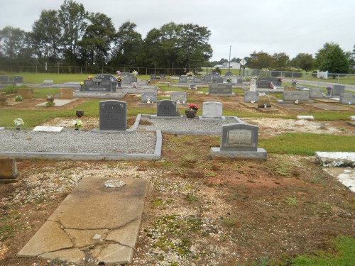
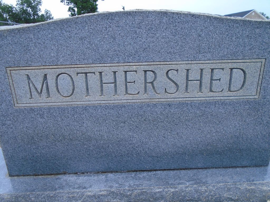
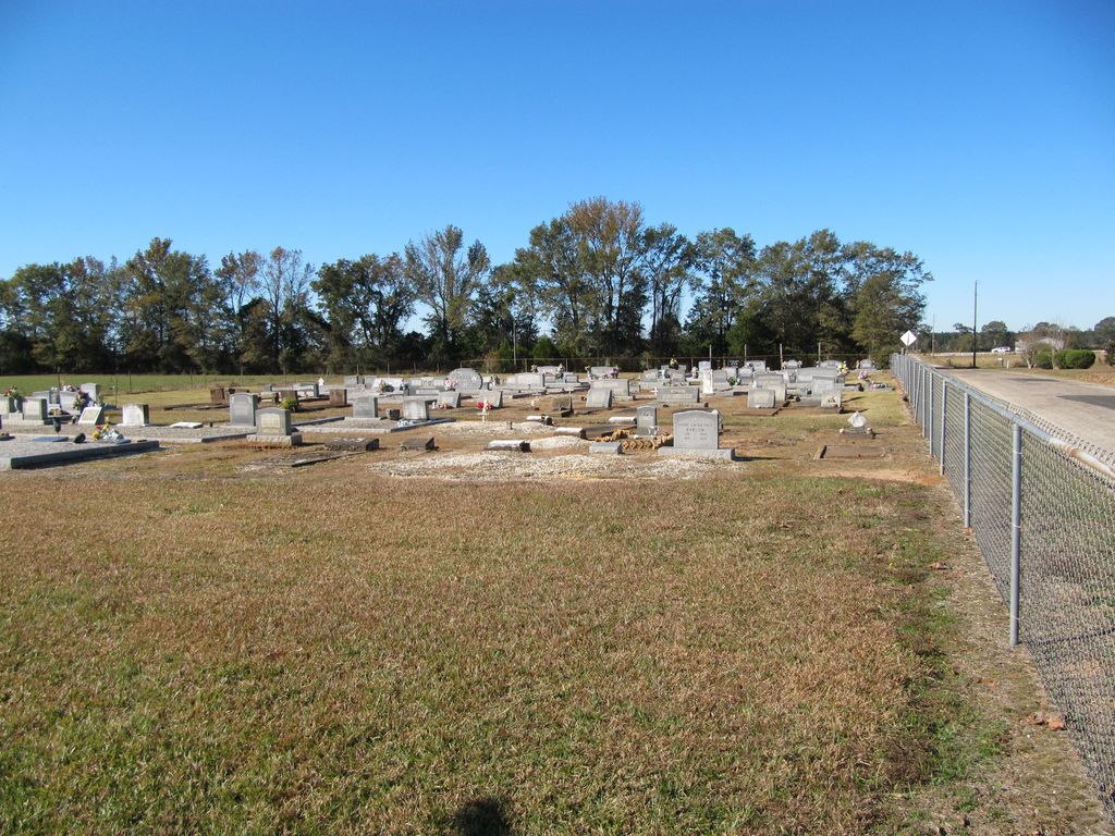
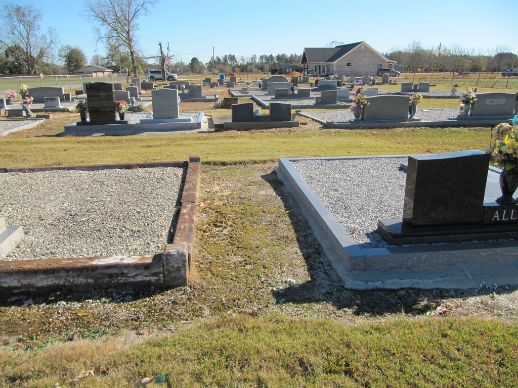
| Description | : | The Mothershed Cemetery is located near Atmore, Alabama in T-1-N, R-5-E, Escambia County Section 14. This was originally a family cemetery. The records are unclear as to when it was turned over to the Freemanville area as a public burial place. There is very little parking area at this location except at roadside. To reach the cemetery from I-65, leave the highway at Exit 1 (Creek Indian Reservation), which is the old Jack Springs Road. Drive south toward Atmore for approximately 2 miles to Woods Road. At Woods turn right (west) and continue to where Woods makes a sharp... Read More |
frequently asked questions (FAQ):
-
Where is Mothershed Cemetery?
Mothershed Cemetery is located at Freemanville, Escambia County ,Alabama ,USA.
-
Mothershed Cemetery cemetery's updated grave count on graveviews.com?
0 memorials
-
Where are the coordinates of the Mothershed Cemetery?
Latitude: 31.0557900
Longitude: -87.5318900
Nearby Cemetories:
1. Freemanville Church Cemetery
Escambia County, USA
Coordinate: 31.0670260, -87.5216170
2. Davis Cemetery
Freemanville, Escambia County, USA
Coordinate: 31.0726766, -87.5204899
3. Pine Level Cemetery
Atmore, Escambia County, USA
Coordinate: 31.0465508, -87.5072174
4. Williams Family Cemetery
Atmore, Escambia County, USA
Coordinate: 31.0880020, -87.5424800
5. Oak Hill Cemetery
Atmore, Escambia County, USA
Coordinate: 31.0414009, -87.4955978
6. Rolin Indian Cemetery
Poarch, Escambia County, USA
Coordinate: 31.0813860, -87.5629230
7. Lucy Hill Cemetery Complex
Atmore, Escambia County, USA
Coordinate: 31.0413710, -87.4840580
8. Williams Station Cemetery
Escambia County, USA
Coordinate: 31.0227800, -87.4966700
9. Gaines Chapel AME Church Cemetery
Atmore, Escambia County, USA
Coordinate: 31.0294000, -87.4868130
10. Pierce Rabb Cemetery
Atmore, Escambia County, USA
Coordinate: 31.1049060, -87.5223960
11. Hollingsworth Family Cemetery
Nokomis, Escambia County, USA
Coordinate: 31.0012100, -87.5556280
12. Mount Shilo Baptist Church Cemetery
Nokomis, Escambia County, USA
Coordinate: 31.0194000, -87.5856000
13. Nokomis Church Cemetery
Atmore, Escambia County, USA
Coordinate: 31.0077991, -87.5721970
14. New Home Indian Cemetery
Poarch, Escambia County, USA
Coordinate: 31.1101300, -87.4967300
15. Judson Indian Cemetery
Escambia County, USA
Coordinate: 31.1110992, -87.5658035
16. Poarch Baptist Church Indian Cemetery
Poarch, Escambia County, USA
Coordinate: 31.1209110, -87.5264240
17. Poarch Mission Cemetery
Escambia County, USA
Coordinate: 31.1208000, -87.5124969
18. Antioch Church Cemetery
Escambia County, USA
Coordinate: 30.9908640, -87.5704820
19. Hosey Presley Family Cemetery
Nokomis, Escambia County, USA
Coordinate: 31.0057250, -87.5963760
20. Sullivan Cemetery
Nokomis, Escambia County, USA
Coordinate: 31.0044003, -87.5955963
21. Brooks Family Cemetery
Perdido, Baldwin County, USA
Coordinate: 31.0658200, -87.6193700
22. Lee Family Cemetery
Escambia County, USA
Coordinate: 30.9775670, -87.5234340
23. Serenity Gardens Cemetery
Atmore, Escambia County, USA
Coordinate: 31.0244007, -87.4467010
24. Canoe United Methodist Church Cemetery
Robinsonville, Escambia County, USA
Coordinate: 31.0599995, -87.4377975