
| Memorials | : | 0 |
| Location | : | Atmore, Escambia County, USA |
| Coordinate | : | 31.1049060, -87.5223960 |
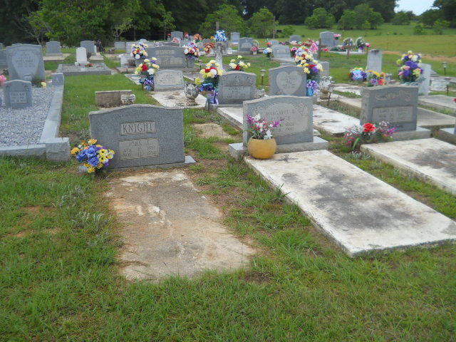
| Description | : | The Pierce-Rabb Cemetery is at the edge of an open farmland. The surrounding area is clean and neat. Ample parking is available on the road right-of-way, as well as to the south and west. A low barbed fence separates the cemetery property line from private farmland on the north side. The marker headstones are arranged in an orderly north-south direction. Driving directions: By far the best routes to follow are from the City of Atmore or from I-65. From Atmore follow Jack Springs Road to Freemanville. Turn right (east) onto Dailey Street and... Read More |
frequently asked questions (FAQ):
-
Where is Pierce Rabb Cemetery?
Pierce Rabb Cemetery is located at Atmore, Escambia County ,Alabama ,USA.
-
Pierce Rabb Cemetery cemetery's updated grave count on graveviews.com?
0 memorials
-
Where are the coordinates of the Pierce Rabb Cemetery?
Latitude: 31.1049060
Longitude: -87.5223960
Nearby Cemetories:
1. Poarch Baptist Church Indian Cemetery
Poarch, Escambia County, USA
Coordinate: 31.1209110, -87.5264240
2. Poarch Mission Cemetery
Escambia County, USA
Coordinate: 31.1208000, -87.5124969
3. New Home Indian Cemetery
Poarch, Escambia County, USA
Coordinate: 31.1101300, -87.4967300
4. Williams Family Cemetery
Atmore, Escambia County, USA
Coordinate: 31.0880020, -87.5424800
5. Davis Cemetery
Freemanville, Escambia County, USA
Coordinate: 31.0726766, -87.5204899
6. Judson Indian Cemetery
Escambia County, USA
Coordinate: 31.1110992, -87.5658035
7. Freemanville Church Cemetery
Escambia County, USA
Coordinate: 31.0670260, -87.5216170
8. Rolin Indian Cemetery
Poarch, Escambia County, USA
Coordinate: 31.0813860, -87.5629230
9. Mothershed Cemetery
Freemanville, Escambia County, USA
Coordinate: 31.0557900, -87.5318900
10. First Baptist Church Cemetery
McCullough, Escambia County, USA
Coordinate: 31.1580390, -87.5262200
11. Pine Level Cemetery
Atmore, Escambia County, USA
Coordinate: 31.0465508, -87.5072174
12. Jack Springs Cemetery
Escambia County, USA
Coordinate: 31.1646996, -87.5472031
13. Driskell Cemetery
Escambia County, USA
Coordinate: 31.1650009, -87.5466995
14. McCullough Community Cemetery
McCullough, Escambia County, USA
Coordinate: 31.1649323, -87.5476074
15. Fountain Correctional Facility Cemetery
Atmore, Escambia County, USA
Coordinate: 31.1519170, -87.4688370
16. Oak Hill Cemetery
Atmore, Escambia County, USA
Coordinate: 31.0414009, -87.4955978
17. Corinth Primitive Baptist Church Cemetery
McCullough, Escambia County, USA
Coordinate: 31.1616420, -87.5656490
18. Steadham Cemetery
Escambia County, USA
Coordinate: 31.1567001, -87.5768967
19. Lucy Hill Cemetery Complex
Atmore, Escambia County, USA
Coordinate: 31.0413710, -87.4840580
20. Gaines Chapel AME Church Cemetery
Atmore, Escambia County, USA
Coordinate: 31.0294000, -87.4868130
21. Milstead Cemetery
Lottie, Baldwin County, USA
Coordinate: 31.1104300, -87.6177700
22. Williams Station Cemetery
Escambia County, USA
Coordinate: 31.0227800, -87.4966700
23. Canoe United Methodist Church Cemetery
Robinsonville, Escambia County, USA
Coordinate: 31.0599995, -87.4377975
24. Robinsonville Church Cemetery
Atmore, Escambia County, USA
Coordinate: 31.0713997, -87.4238968