
| Memorials | : | 0 |
| Location | : | Poarch, Escambia County, USA |
| Coordinate | : | 31.1101300, -87.4967300 |
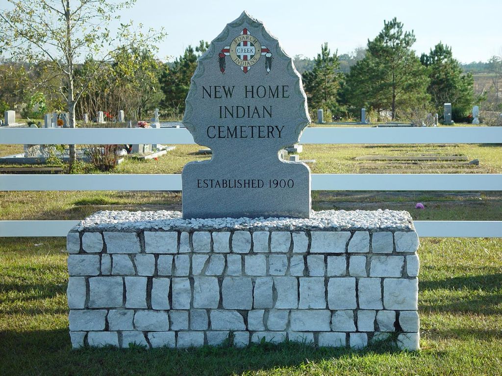
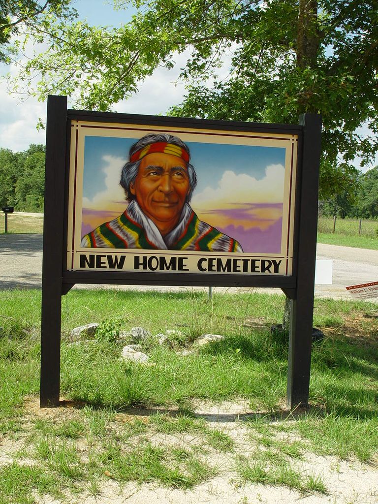
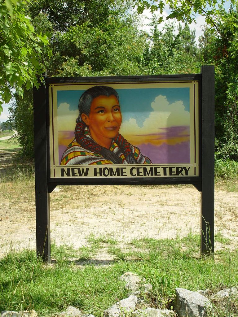
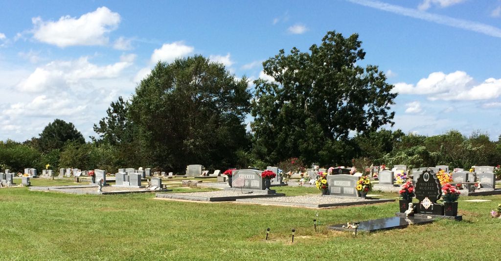
| Description | : | The New Home Indian Cemetery was originally known as Hog Fork Indian Cemetery. Its location is N31.11013 W87.49673. From Monroeville, drive south on highway 21. After crossing under I-65, go 7/10 mile and turn right at CR-14. Drive west on CR-14 for 1.1 miles and turn left at Blacksher Rd. Drive. At about one-quarter mile bear right at the "Y" intersection. The cemetery will be on your left. From I65 Northbound, take Exit 57 and turn right. At about seven-tenths mile turn right again at CR-14 (Poarch Rd). Continue west on CR-14 for 1.1... Read More |
frequently asked questions (FAQ):
-
Where is New Home Indian Cemetery?
New Home Indian Cemetery is located at Poarch, Escambia County ,Alabama ,USA.
-
New Home Indian Cemetery cemetery's updated grave count on graveviews.com?
0 memorials
-
Where are the coordinates of the New Home Indian Cemetery?
Latitude: 31.1101300
Longitude: -87.4967300
Nearby Cemetories:
1. Poarch Mission Cemetery
Escambia County, USA
Coordinate: 31.1208000, -87.5124969
2. Pierce Rabb Cemetery
Atmore, Escambia County, USA
Coordinate: 31.1049060, -87.5223960
3. Poarch Baptist Church Indian Cemetery
Poarch, Escambia County, USA
Coordinate: 31.1209110, -87.5264240
4. Davis Cemetery
Freemanville, Escambia County, USA
Coordinate: 31.0726766, -87.5204899
5. Williams Family Cemetery
Atmore, Escambia County, USA
Coordinate: 31.0880020, -87.5424800
6. Freemanville Church Cemetery
Escambia County, USA
Coordinate: 31.0670260, -87.5216170
7. Fountain Correctional Facility Cemetery
Atmore, Escambia County, USA
Coordinate: 31.1519170, -87.4688370
8. First Baptist Church Cemetery
McCullough, Escambia County, USA
Coordinate: 31.1580390, -87.5262200
9. Judson Indian Cemetery
Escambia County, USA
Coordinate: 31.1110992, -87.5658035
10. Mothershed Cemetery
Freemanville, Escambia County, USA
Coordinate: 31.0557900, -87.5318900
11. Rolin Indian Cemetery
Poarch, Escambia County, USA
Coordinate: 31.0813860, -87.5629230
12. Pine Level Cemetery
Atmore, Escambia County, USA
Coordinate: 31.0465508, -87.5072174
13. Oak Hill Cemetery
Atmore, Escambia County, USA
Coordinate: 31.0414009, -87.4955978
14. Driskell Cemetery
Escambia County, USA
Coordinate: 31.1650009, -87.5466995
15. Jack Springs Cemetery
Escambia County, USA
Coordinate: 31.1646996, -87.5472031
16. Lucy Hill Cemetery Complex
Atmore, Escambia County, USA
Coordinate: 31.0413710, -87.4840580
17. McCullough Community Cemetery
McCullough, Escambia County, USA
Coordinate: 31.1649323, -87.5476074
18. Canoe United Methodist Church Cemetery
Robinsonville, Escambia County, USA
Coordinate: 31.0599995, -87.4377975
19. Conway Cemetery
Escambia County, USA
Coordinate: 31.1148120, -87.4136960
20. Robinsonville Church Cemetery
Atmore, Escambia County, USA
Coordinate: 31.0713997, -87.4238968
21. Corinth Primitive Baptist Church Cemetery
McCullough, Escambia County, USA
Coordinate: 31.1616420, -87.5656490
22. Gaines Chapel AME Church Cemetery
Atmore, Escambia County, USA
Coordinate: 31.0294000, -87.4868130
23. Steadham Cemetery
Escambia County, USA
Coordinate: 31.1567001, -87.5768967
24. Williams Station Cemetery
Escambia County, USA
Coordinate: 31.0227800, -87.4966700