| Memorials | : | 0 |
| Location | : | Clifton Hill, Randolph County, USA |
| Coordinate | : | 39.4636990, -92.6114830 |
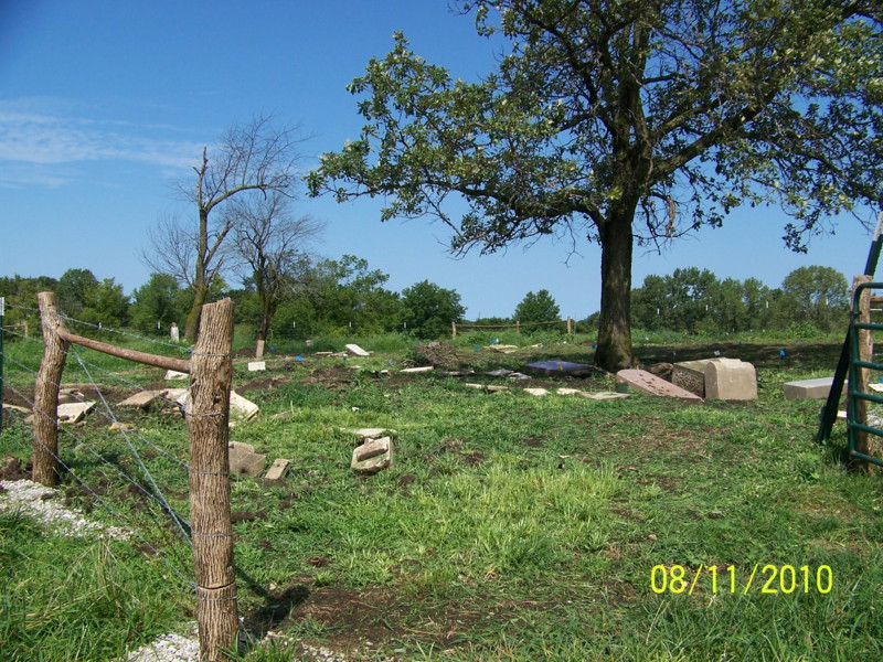
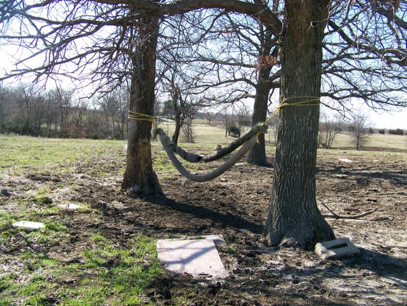
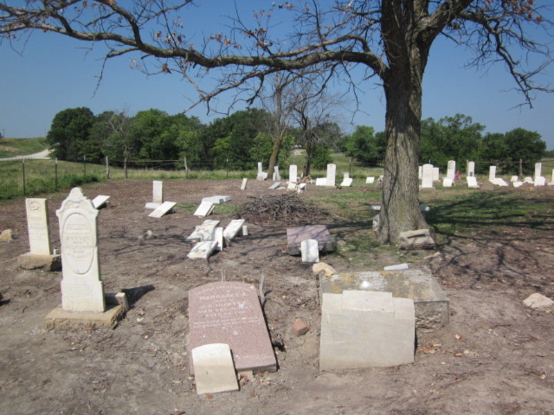
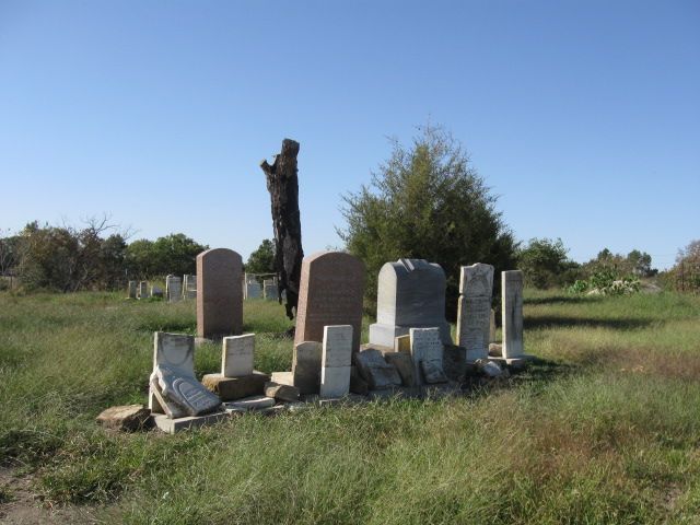
| Description | : | Old Fort Henry Cemetery, located in T54 R15 S20, is the predecessor of New Ft Henry Cemetery which is a short distance west of this one. This cemetery was mostly destroyed by cattle over the years. It was fenced in the spring of 2010, and probing and digging up of stones, some more than a foot deep, took place in the summer. Fundraising for the actual restoration is underway, and more donations are needed. The Huntsville Historical Society in Randolph County is handling the funds. Photos were taken of each stone as it was uncovered,... Read More |
frequently asked questions (FAQ):
-
Where is Old Fort Henry Cemetery?
Old Fort Henry Cemetery is located at Clifton Hill, Randolph County ,Missouri ,USA.
-
Old Fort Henry Cemetery cemetery's updated grave count on graveviews.com?
0 memorials
-
Where are the coordinates of the Old Fort Henry Cemetery?
Latitude: 39.4636990
Longitude: -92.6114830
Nearby Cemetories:
1. New Fort Henry Cemetery
Fort Henry, Randolph County, USA
Coordinate: 39.4616500, -92.6164990
2. David Austin Cemetery
Huntsville, Randolph County, USA
Coordinate: 39.4737420, -92.5649930
3. Martin Green Cemetery
Randolph County, USA
Coordinate: 39.4972340, -92.6369320
4. Cleveland Cemetery
Darksville, Randolph County, USA
Coordinate: 39.5018380, -92.6006240
5. Little Union Primitive Baptist Church Cemetery
Randolph County, USA
Coordinate: 39.4528000, -92.5510280
6. McCully-Haines Cemetery
Randolph County, USA
Coordinate: 39.5080870, -92.6410220
7. Burton-Burk Cemetery
Clifton Hill, Randolph County, USA
Coordinate: 39.4152590, -92.5930630
8. Clifton Hill City Cemetery
Clifton Hill, Randolph County, USA
Coordinate: 39.4370300, -92.6690000
9. Boulware-Morehead Cemetery
Randolph County, USA
Coordinate: 39.4398600, -92.5504750
10. Terry Cemetery
Huntsville, Randolph County, USA
Coordinate: 39.4985470, -92.5585630
11. Huntsville City Cemetery
Huntsville, Randolph County, USA
Coordinate: 39.4440500, -92.5460000
12. Johnson Cemetery
Clifton Hill, Randolph County, USA
Coordinate: 39.4728012, -92.6841965
13. Henry Austin Cemetery
Huntsville, Randolph County, USA
Coordinate: 39.4365180, -92.5434960
14. Lyon Cemetery
Randolph County, USA
Coordinate: 39.4551780, -92.6896880
15. Klink-Lay Cemetery
Randolph County, USA
Coordinate: 39.4474120, -92.5345440
16. Babcock Farm Cemetery
Clifton Hill, Randolph County, USA
Coordinate: 39.4036000, -92.6660000
17. Eldad Cumberland Presbyterian Cemetery
Randolph County, USA
Coordinate: 39.5380800, -92.6190800
18. Fullington Cemetery
Randolph County, USA
Coordinate: 39.3919730, -92.5837650
19. Phipps-Goodding Cemetery
Randolph County, USA
Coordinate: 39.4897420, -92.5200980
20. Mount Olivette Cemetery
Randolph County, USA
Coordinate: 39.4690780, -92.5131110
21. Gunn Cemetery
Randolph County, USA
Coordinate: 39.4159540, -92.6908860
22. Hardister Cemetery
Randolph County, USA
Coordinate: 39.4799210, -92.5116790
23. Hickory Grove Cemetery
Randolph County, USA
Coordinate: 39.5402985, -92.5852966
24. Oliver Cemetery
Randolph County, USA
Coordinate: 39.3871600, -92.5831100


