
| Memorials | : | 1 |
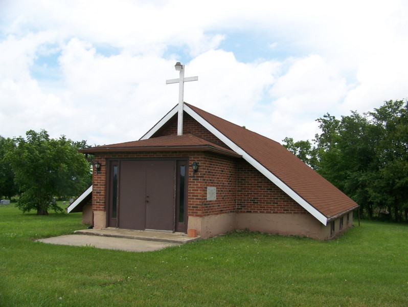
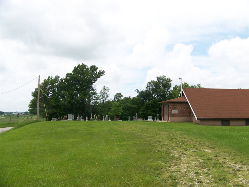
| Location | : | Fort Henry, Randolph County, USA |
| Coordinate | : | 39.4616500, -92.6164990 |
frequently asked questions (FAQ):
-
Where is New Fort Henry Cemetery?
New Fort Henry Cemetery is located at Fort Henry, Randolph County ,Missouri ,USA.
-
New Fort Henry Cemetery cemetery's updated grave count on graveviews.com?
1 memorials
-
Where are the coordinates of the New Fort Henry Cemetery?
Latitude: 39.4616500
Longitude: -92.6164990
Nearby Cemetories:
1. Old Fort Henry Cemetery
Clifton Hill, Randolph County, USA
Coordinate: 39.4636990, -92.6114830
2. Martin Green Cemetery
Randolph County, USA
Coordinate: 39.4972340, -92.6369320
3. David Austin Cemetery
Huntsville, Randolph County, USA
Coordinate: 39.4737420, -92.5649930
4. Cleveland Cemetery
Darksville, Randolph County, USA
Coordinate: 39.5018380, -92.6006240
5. Clifton Hill City Cemetery
Clifton Hill, Randolph County, USA
Coordinate: 39.4370300, -92.6690000
6. Burton-Burk Cemetery
Clifton Hill, Randolph County, USA
Coordinate: 39.4152590, -92.5930630
7. McCully-Haines Cemetery
Randolph County, USA
Coordinate: 39.5080870, -92.6410220
8. Little Union Primitive Baptist Church Cemetery
Randolph County, USA
Coordinate: 39.4528000, -92.5510280
9. Johnson Cemetery
Clifton Hill, Randolph County, USA
Coordinate: 39.4728012, -92.6841965
10. Boulware-Morehead Cemetery
Randolph County, USA
Coordinate: 39.4398600, -92.5504750
11. Lyon Cemetery
Randolph County, USA
Coordinate: 39.4551780, -92.6896880
12. Huntsville City Cemetery
Huntsville, Randolph County, USA
Coordinate: 39.4440500, -92.5460000
13. Terry Cemetery
Huntsville, Randolph County, USA
Coordinate: 39.4985470, -92.5585630
14. Henry Austin Cemetery
Huntsville, Randolph County, USA
Coordinate: 39.4365180, -92.5434960
15. Klink-Lay Cemetery
Randolph County, USA
Coordinate: 39.4474120, -92.5345440
16. Babcock Farm Cemetery
Clifton Hill, Randolph County, USA
Coordinate: 39.4036000, -92.6660000
17. Gunn Cemetery
Randolph County, USA
Coordinate: 39.4159540, -92.6908860
18. Fullington Cemetery
Randolph County, USA
Coordinate: 39.3919730, -92.5837650
19. Eldad Cumberland Presbyterian Cemetery
Randolph County, USA
Coordinate: 39.5380800, -92.6190800
20. John Atterbury Farm Cemetery
Mount Airy, Randolph County, USA
Coordinate: 39.3833620, -92.6098600
21. Oliver Cemetery
Randolph County, USA
Coordinate: 39.3871600, -92.5831100
22. Richardson Cemetery
Salisbury Township, Chariton County, USA
Coordinate: 39.4594002, -92.7189026
23. Phipps-Goodding Cemetery
Randolph County, USA
Coordinate: 39.4897420, -92.5200980
24. Mount Olivette Cemetery
Randolph County, USA
Coordinate: 39.4690780, -92.5131110