
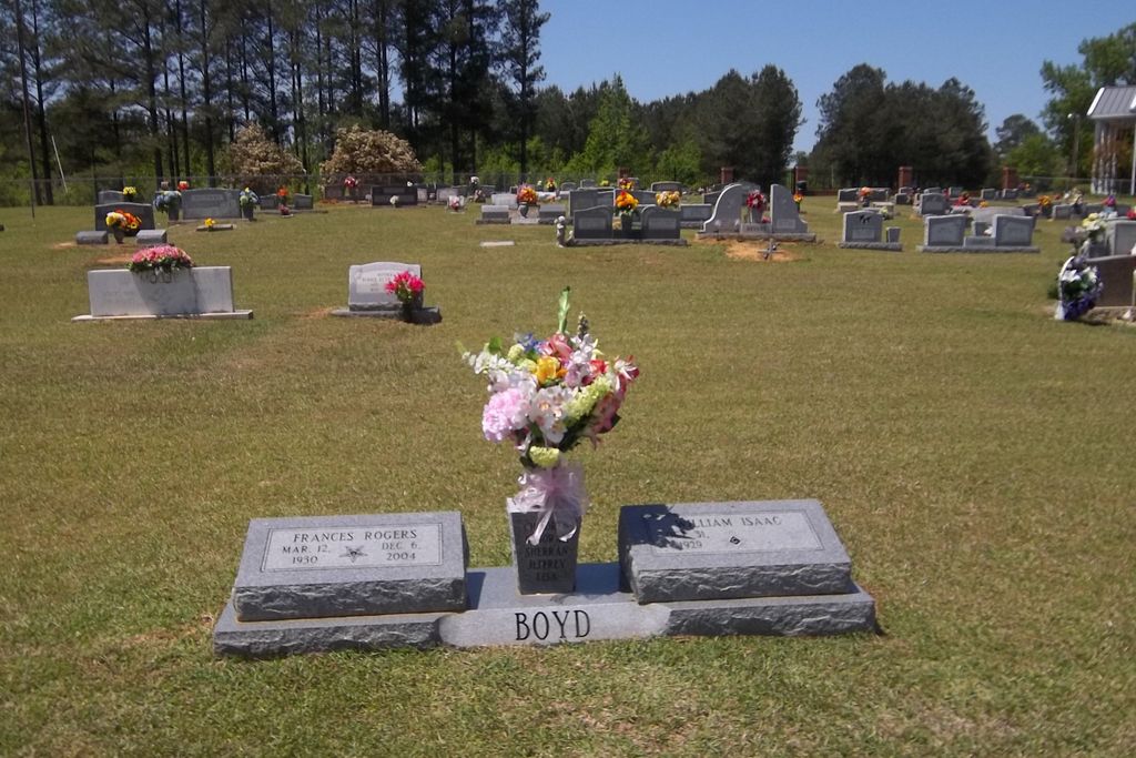
| Memorials | : | 1 |
| Location | : | Raleigh, Smith County, USA |
| Coordinate | : | 32.0228859, -89.4116950 |
| Description | : | From Raleigh Mississippi proceed East on Mississippi Highway 18 (MS 18 aka Sylvarena Avenue) 6.4 miles to the intersection of Smith County Road 132A (SCR 132A.) Turn Left (North) and continue nine tenths of a mile to the intersection of Smith County Road 132 (SCR 132.) Turn Right onto SCR 132 and continue four tenths of a mile, cemeteri is on the Left (North) side of the road, specifically SW1/4 SE1/4, S7, T2N-R9E, Smith, Raleigh Quadrangle map, USNG 16S BA 72229 45515. |
frequently asked questions (FAQ):
-
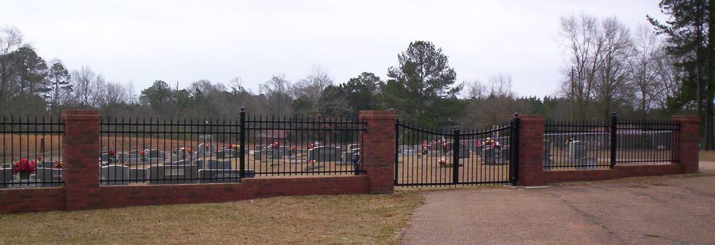
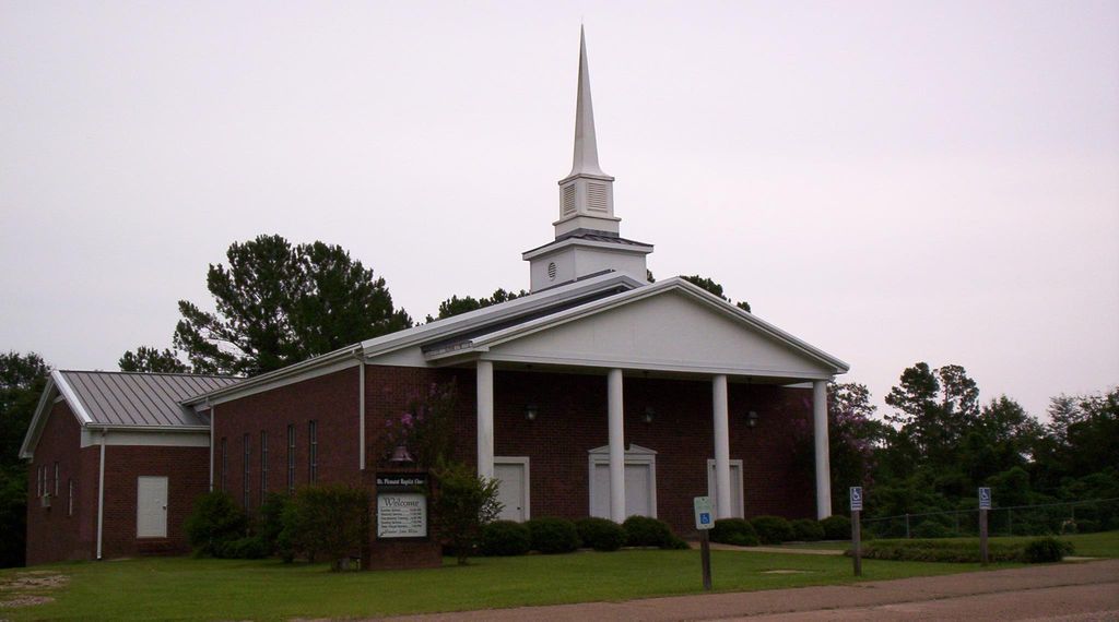
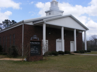
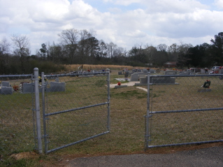
Where is Mount Pleasant Baptist Church Cemetery?
Mount Pleasant Baptist Church Cemetery is located at Smith County Road 132 Raleigh, Smith County ,Mississippi , 39153USA.
-
Mount Pleasant Baptist Church Cemetery cemetery's updated grave count on graveviews.com?
1 memorials
-
Where are the coordinates of the Mount Pleasant Baptist Church Cemetery?
Latitude: 32.0228859
Longitude: -89.4116950

Nearby Cemetories:
1. Johnson Cemetery
Raleigh, Smith County, USA
Coordinate: 32.0146900, -89.4217500
2. Jesus Name House of Prayer Cemetery
Raleigh, Smith County, USA
Coordinate: 32.0116790, -89.4280510
3. Hartley Cemetery
Raleigh, Smith County, USA
Coordinate: 32.0087250, -89.4264670
4. Sylvarena Cemetery
Sylvarena, Smith County, USA
Coordinate: 32.0137200, -89.3793800
5. Bethany Cemetery
Sylvarena, Smith County, USA
Coordinate: 32.0280991, -89.3743973
6. Jesus Name Church Cemetery
Raleigh, Smith County, USA
Coordinate: 32.0610700, -89.3933700
7. Hopewell Missionary Baptist Church Cemetery
Raleigh, Smith County, USA
Coordinate: 32.0474900, -89.3696600
8. Cedar Grove Methodist Church Cemetery
Raleigh, Smith County, USA
Coordinate: 32.0664100, -89.4145800
9. Double Church Cemetery
Raleigh, Smith County, USA
Coordinate: 32.0460420, -89.4574910
10. First Sylverena Seventh Day Adventist Cemetery
Raleigh, Smith County, USA
Coordinate: 32.0514600, -89.3686560
11. Moore Cemetery
Raleigh, Smith County, USA
Coordinate: 32.0132190, -89.4658840
12. Walnut Grove Cemetery
Taylorsville, Smith County, USA
Coordinate: 31.9759370, -89.4069210
13. William F. Jones Cemetery
Raleigh, Smith County, USA
Coordinate: 32.0672200, -89.3739800
14. Warren Hill Methodist Church Cemetery
Sylvarena, Smith County, USA
Coordinate: 32.0672300, -89.3595300
15. Beaver Dam Baptist Church Cemetery
Raleigh, Smith County, USA
Coordinate: 31.9677410, -89.4485110
16. Hills Chapel Cemetery
Jasper County, USA
Coordinate: 32.0668500, -89.3577230
17. Healing Springs Community Cemetery
Smith County, USA
Coordinate: 32.0685100, -89.3594810
18. Jefcoats-Farnham Cemetery
Taylorsville, Smith County, USA
Coordinate: 31.9635580, -89.4432700
19. Royals & Webb Cemetery
Raleigh, Smith County, USA
Coordinate: 32.0932999, -89.4096985
20. Hancock Family Cemetery
Sylvarena, Smith County, USA
Coordinate: 31.9585680, -89.3775183
21. Mineral Springs Missionary Baptist Cemetery
Taylorsville, Smith County, USA
Coordinate: 31.9522400, -89.4261900
22. Ted Baptist Church Cemetery
Smith County, USA
Coordinate: 32.0407700, -89.3261100
23. New Bethel Baptist Church Cemetery
Taylorsville, Smith County, USA
Coordinate: 31.9504300, -89.4398900
24. Mount Nebo Baptist Cemetery
Raleigh, Smith County, USA
Coordinate: 32.0981000, -89.4317400