
| Memorials | : | 0 |
| Location | : | Taylorsville, Smith County, USA |
| Coordinate | : | 31.9759370, -89.4069210 |
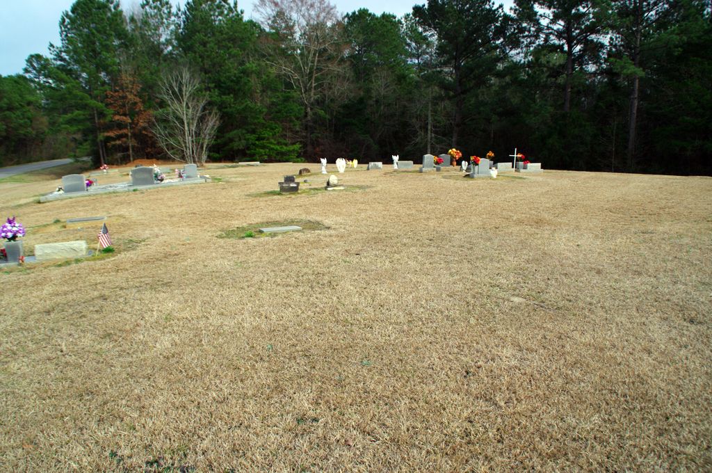
| Description | : | From Raleigh, Mississippi proceed East on Highway 18 (also know as Sylvarena Avenue) for 4.4 miles to the intersection of Smith County Road 93 (SCR 93) turning right (South.) Continue 3.4 miles on SCR 93 to the intersection of Smith County Road 97 (SCR 97) and turn left (East.) Proceed 2.5 miles on SCR 97, the Walnut Grove Baptist Church cemetery will be on the right (South) side of SCR 97, specifically; NE1/4 NE1/4, S31, T2N-R9E, Smith, Center Ridge Quadrangle map, 16R BA 72564 40299. This cemetery is not fenced but it is well maintained, there are only a few markers... Read More |
frequently asked questions (FAQ):
-
Where is Walnut Grove Cemetery?
Walnut Grove Cemetery is located at 5318 Smith County Road 84 Taylorsville, Smith County ,Mississippi , 39168USA.
-
Walnut Grove Cemetery cemetery's updated grave count on graveviews.com?
0 memorials
-
Where are the coordinates of the Walnut Grove Cemetery?
Latitude: 31.9759370
Longitude: -89.4069210
Nearby Cemetories:
1. Mineral Springs Missionary Baptist Cemetery
Taylorsville, Smith County, USA
Coordinate: 31.9522400, -89.4261900
2. Hancock Family Cemetery
Sylvarena, Smith County, USA
Coordinate: 31.9585680, -89.3775183
3. Jefcoats-Farnham Cemetery
Taylorsville, Smith County, USA
Coordinate: 31.9635580, -89.4432700
4. Beaver Dam Baptist Church Cemetery
Raleigh, Smith County, USA
Coordinate: 31.9677410, -89.4485110
5. Hartley Cemetery
Raleigh, Smith County, USA
Coordinate: 32.0087250, -89.4264670
6. New Bethel Baptist Church Cemetery
Taylorsville, Smith County, USA
Coordinate: 31.9504300, -89.4398900
7. Jesus Name House of Prayer Cemetery
Raleigh, Smith County, USA
Coordinate: 32.0116790, -89.4280510
8. Johnson Cemetery
Raleigh, Smith County, USA
Coordinate: 32.0146900, -89.4217500
9. Sylvarena Cemetery
Sylvarena, Smith County, USA
Coordinate: 32.0137200, -89.3793800
10. Mount Pleasant Baptist Church Cemetery
Raleigh, Smith County, USA
Coordinate: 32.0228859, -89.4116950
11. McCraw Cemetery
Taylorsville, Smith County, USA
Coordinate: 31.9390300, -89.3606500
12. Old Mount Nebo Cemetery
Raleigh, Smith County, USA
Coordinate: 31.9745630, -89.3404880
13. Bethany Cemetery
Sylvarena, Smith County, USA
Coordinate: 32.0280991, -89.3743973
14. Center Ridge Cemetery
Taylorsville, Smith County, USA
Coordinate: 31.9456710, -89.4705320
15. Moore Cemetery
Raleigh, Smith County, USA
Coordinate: 32.0132190, -89.4658840
16. Unity Methodist Church Cemetery
Taylorsville, Smith County, USA
Coordinate: 31.9456500, -89.4735300
17. Bezer Cemetery
Raleigh, Smith County, USA
Coordinate: 31.9699993, -89.4894028
18. Shady Grove Missionary Baptist Church Cemetery
Taylorsville, Smith County, USA
Coordinate: 31.9184100, -89.3563900
19. Bezer Cemetery West
Bezer, Smith County, USA
Coordinate: 31.9746170, -89.4928284
20. Hancock Cemetery
Mize, Smith County, USA
Coordinate: 31.9387610, -89.4847580
21. Hopewell Missionary Baptist Church Cemetery
Raleigh, Smith County, USA
Coordinate: 32.0474900, -89.3696600
22. New Zion Cemetery
Bay Springs, Jasper County, USA
Coordinate: 31.9772600, -89.3111270
23. Double Church Cemetery
Raleigh, Smith County, USA
Coordinate: 32.0460420, -89.4574910
24. First Sylverena Seventh Day Adventist Cemetery
Raleigh, Smith County, USA
Coordinate: 32.0514600, -89.3686560