
| Memorials | : | 0 |
| Location | : | Raleigh, Smith County, USA |
| Coordinate | : | 32.0116790, -89.4280510 |
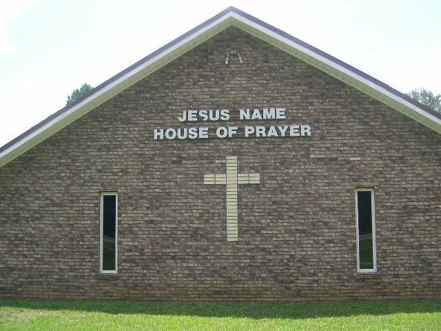
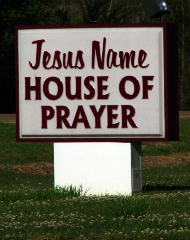
| Description | : | From the village of Sylvarena, Mississippi proceed West on Highway 18 approximately 2.8 miles, Jesus Name House of Prayer Cemetery will be on the left (South) side of Hwy 18, South of the parking lot, specifically: NW1/4 SE1/4, S13, T2N-R8E, Smith, Louin SW Quadrangle map, USNG: 16S BA 70656 44307. This is a newer cemetery, fenced, well lighted and well maintained. |
frequently asked questions (FAQ):
-
Where is Jesus Name House of Prayer Cemetery?
Jesus Name House of Prayer Cemetery is located at 26322 Mississippi Highway 18 Raleigh, Smith County ,Mississippi , 39153USA.
-
Jesus Name House of Prayer Cemetery cemetery's updated grave count on graveviews.com?
0 memorials
-
Where are the coordinates of the Jesus Name House of Prayer Cemetery?
Latitude: 32.0116790
Longitude: -89.4280510
Nearby Cemetories:
1. Hartley Cemetery
Raleigh, Smith County, USA
Coordinate: 32.0087250, -89.4264670
2. Johnson Cemetery
Raleigh, Smith County, USA
Coordinate: 32.0146900, -89.4217500
3. Mount Pleasant Baptist Church Cemetery
Raleigh, Smith County, USA
Coordinate: 32.0228859, -89.4116950
4. Moore Cemetery
Raleigh, Smith County, USA
Coordinate: 32.0132190, -89.4658840
5. Walnut Grove Cemetery
Taylorsville, Smith County, USA
Coordinate: 31.9759370, -89.4069210
6. Sylvarena Cemetery
Sylvarena, Smith County, USA
Coordinate: 32.0137200, -89.3793800
7. Double Church Cemetery
Raleigh, Smith County, USA
Coordinate: 32.0460420, -89.4574910
8. Beaver Dam Baptist Church Cemetery
Raleigh, Smith County, USA
Coordinate: 31.9677410, -89.4485110
9. Bethany Cemetery
Sylvarena, Smith County, USA
Coordinate: 32.0280991, -89.3743973
10. Jefcoats-Farnham Cemetery
Taylorsville, Smith County, USA
Coordinate: 31.9635580, -89.4432700
11. Cedar Grove Methodist Church Cemetery
Raleigh, Smith County, USA
Coordinate: 32.0664100, -89.4145800
12. Jesus Name Church Cemetery
Raleigh, Smith County, USA
Coordinate: 32.0610700, -89.3933700
13. Mineral Springs Missionary Baptist Cemetery
Taylorsville, Smith County, USA
Coordinate: 31.9522400, -89.4261900
14. Hopewell Missionary Baptist Church Cemetery
Raleigh, Smith County, USA
Coordinate: 32.0474900, -89.3696600
15. New Bethel Baptist Church Cemetery
Taylorsville, Smith County, USA
Coordinate: 31.9504300, -89.4398900
16. First Sylverena Seventh Day Adventist Cemetery
Raleigh, Smith County, USA
Coordinate: 32.0514600, -89.3686560
17. Bezer Cemetery West
Bezer, Smith County, USA
Coordinate: 31.9746170, -89.4928284
18. Bezer Cemetery
Raleigh, Smith County, USA
Coordinate: 31.9699993, -89.4894028
19. Hancock Family Cemetery
Sylvarena, Smith County, USA
Coordinate: 31.9585680, -89.3775183
20. Eastside Baptist Church Cemetery
Raleigh, Smith County, USA
Coordinate: 32.0360600, -89.5063500
21. William F. Jones Cemetery
Raleigh, Smith County, USA
Coordinate: 32.0672200, -89.3739800
22. Center Ridge Cemetery
Taylorsville, Smith County, USA
Coordinate: 31.9456710, -89.4705320
23. Lewis Harper Cemetery
Raleigh, Smith County, USA
Coordinate: 32.0396800, -89.5115600
24. Turner Chapel Cemetery
Raleigh, Smith County, USA
Coordinate: 32.0474700, -89.5075300