
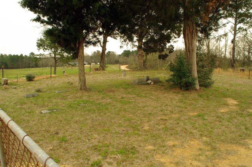
| Memorials | : | 0 |
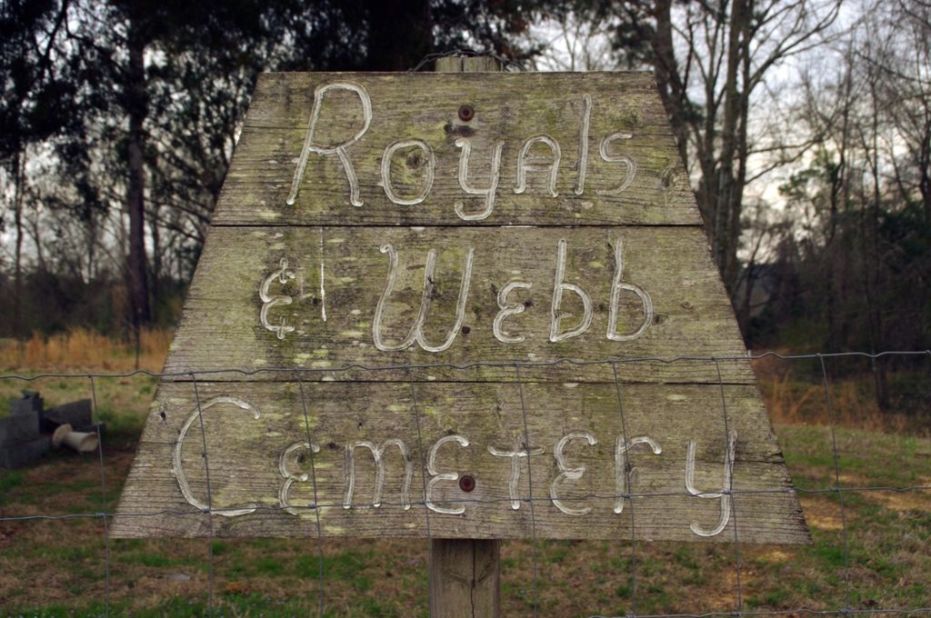
| Location | : | Raleigh, Smith County, USA |
| Coordinate | : | 32.0932999, -89.4096985 |
| Description | : | From Raleigh, MS proceed East on Mississippi Highway 18 (MS 18 aka Sylvarena 7.5 miles to the intersection of Mississippi Highway 501 (MS 501.) Turn Left (North) on MS 501 and continue 5.8 miles to the intersection of Smith County Road 501-2 (SCR 501-2.) Turn Left (West) onto SCR 501-2 and proced one half mile, cemetery will be on the Left (Southwest) side of the road, specifically SE1/4 SE1/4, S18, T3N-R9E, Smith, Louin Southwest Quadrangle map USNG 16S BA 72554 53332. |
frequently asked questions (FAQ):
-
Where is Royals & Webb Cemetery?
Royals & Webb Cemetery is located at 506 Smith County Road 501-2 Raleigh, Smith County ,Mississippi , 39153USA.
-
Royals & Webb Cemetery cemetery's updated grave count on graveviews.com?
0 memorials
-
Where are the coordinates of the Royals & Webb Cemetery?
Latitude: 32.0932999
Longitude: -89.4096985
Nearby Cemetories:
1. Russell - Boykin Cemetery
Smith County, USA
Coordinate: 32.1066472, -89.3997402
2. Mount Nebo Baptist Cemetery
Raleigh, Smith County, USA
Coordinate: 32.0981000, -89.4317400
3. Cedar Grove Methodist Church Cemetery
Raleigh, Smith County, USA
Coordinate: 32.0664100, -89.4145800
4. Pineville-Leaf River Cemetery
Smith County, USA
Coordinate: 32.1266000, -89.3987200
5. Jesus Name Church Cemetery
Raleigh, Smith County, USA
Coordinate: 32.0610700, -89.3933700
6. William F. Jones Cemetery
Raleigh, Smith County, USA
Coordinate: 32.0672200, -89.3739800
7. Sylvan Grove Cemetery
Smith County, USA
Coordinate: 32.1137310, -89.4530439
8. Mount Nebo Cemetery
Smith County, USA
Coordinate: 32.0951900, -89.4677200
9. Healing Springs Community Cemetery
Smith County, USA
Coordinate: 32.0685100, -89.3594810
10. Warren Hill Methodist Church Cemetery
Sylvarena, Smith County, USA
Coordinate: 32.0672300, -89.3595300
11. Hills Chapel Cemetery
Jasper County, USA
Coordinate: 32.0668500, -89.3577230
12. First Sylverena Seventh Day Adventist Cemetery
Raleigh, Smith County, USA
Coordinate: 32.0514600, -89.3686560
13. Trinity Methodist Cemetery
Raleigh, Smith County, USA
Coordinate: 32.0920600, -89.4753300
14. Hopewell Missionary Baptist Church Cemetery
Raleigh, Smith County, USA
Coordinate: 32.0474900, -89.3696600
15. High Hill Baptist Church Cemetery
Raleigh, Smith County, USA
Coordinate: 32.0860100, -89.4780800
16. Double Church Cemetery
Raleigh, Smith County, USA
Coordinate: 32.0460420, -89.4574910
17. Lemon Christian Cemetery
Raleigh, Smith County, USA
Coordinate: 32.1225570, -89.4748020
18. Bibleway Crusade Cemetery
Smith County, USA
Coordinate: 32.0829940, -89.3322550
19. Mount Pleasant Baptist Church Cemetery
Raleigh, Smith County, USA
Coordinate: 32.0228859, -89.4116950
20. Bethany Cemetery
Sylvarena, Smith County, USA
Coordinate: 32.0280991, -89.3743973
21. Old Henderson Cemetery
Smith County, USA
Coordinate: 32.1199100, -89.4919700
22. Clear Springs Baptist Church Cemetery
Smith County, USA
Coordinate: 32.1437000, -89.3439400
23. Johnson Cemetery
Raleigh, Smith County, USA
Coordinate: 32.0146900, -89.4217500
24. Burnett Cemetery
Pineville, Smith County, USA
Coordinate: 32.1528900, -89.3477000