
| Memorials | : | 5 |
| Location | : | Parsons, Decatur County, USA |
| Coordinate | : | 35.6282030, -88.1103900 |
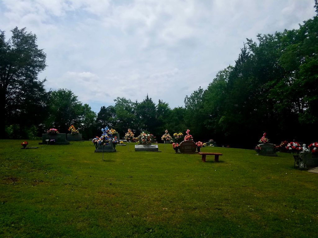
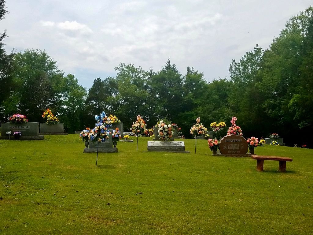
| Description | : | The cemetery at Southside Missionary Baptist Church on Marshall Town Road in Parsons was created in the late 1950s. The cemetery is not shown on the U.S.G.S. Perryville quadrangle. The cemetery is well maintained. There was one unidentified grave. David Donahue recorded this cemetery in 1996 and checked and updated it in 2003 |
frequently asked questions (FAQ):
-
Where is Southside Church Cemetery?
Southside Church Cemetery is located at 800 Marshall Town Road Parsons, Decatur County ,Tennessee , 38363USA.
-
Southside Church Cemetery cemetery's updated grave count on graveviews.com?
5 memorials
-
Where are the coordinates of the Southside Church Cemetery?
Latitude: 35.6282030
Longitude: -88.1103900
Nearby Cemetories:
1. Mount Tabor Church Cemetery
Parsons, Decatur County, USA
Coordinate: 35.6242020, -88.1169180
2. Clay Cemetery
Parsons, Decatur County, USA
Coordinate: 35.6375510, -88.1126050
3. Houston Cemetery
Parsons, Decatur County, USA
Coordinate: 35.6171810, -88.1125870
4. Herndon Cemetery
Parsons, Decatur County, USA
Coordinate: 35.6181970, -88.1255280
5. Houston Cemetery
Decatur County, USA
Coordinate: 35.6268997, -88.0888977
6. Parsons Cemetery
Parsons, Decatur County, USA
Coordinate: 35.6472200, -88.1205000
7. White Cemetery
Decatur County, USA
Coordinate: 35.6068993, -88.1110992
8. Rosson Cemetery
Parsons, Decatur County, USA
Coordinate: 35.6243920, -88.1377210
9. Graves Cemetery
Parsons, Decatur County, USA
Coordinate: 35.6274740, -88.1421470
10. Tolley Cemetery
Parsons, Decatur County, USA
Coordinate: 35.6090410, -88.0782990
11. Sardis Ridge Cemetery
Parsons, Decatur County, USA
Coordinate: 35.6274370, -88.0665750
12. Bear Creek Church Cemetery
Parsons, Decatur County, USA
Coordinate: 35.6491130, -88.1481300
13. Iron Hill Church Cemetery
Parsons, Decatur County, USA
Coordinate: 35.6638920, -88.0932450
14. Barnett Cemetery
Parsons, Decatur County, USA
Coordinate: 35.6377790, -88.1581500
15. Decaturville City Cemetery
Decaturville, Decatur County, USA
Coordinate: 35.5875240, -88.1200490
16. Hopewell Cemetery
Parsons, Decatur County, USA
Coordinate: 35.6538890, -88.0653850
17. Lowery Cemetery
Decaturville, Decatur County, USA
Coordinate: 35.5860480, -88.1314090
18. Lunsford Cemetery
Parsons, Decatur County, USA
Coordinate: 35.6684530, -88.0829530
19. Houston - Young Cemetery
Decaturville, Decatur County, USA
Coordinate: 35.5851070, -88.1311530
20. Freedman Chapel Cemetery
Decaturville, Decatur County, USA
Coordinate: 35.5789630, -88.1288390
21. Wallace Cemetery
Decaturville, Decatur County, USA
Coordinate: 35.5817000, -88.0831000
22. Keen Cemetery
Parsons, Decatur County, USA
Coordinate: 35.6459090, -88.1715020
23. Cross Roads Church Cemetery
Parsons, Decatur County, USA
Coordinate: 35.6814030, -88.1150360
24. Camp Ground Cemetery
Decaturville, Decatur County, USA
Coordinate: 35.5955700, -88.1625440