
| Memorials | : | 3 |
| Location | : | Newbury, West Berkshire Unitary Authority, England |
| Coordinate | : | 51.3924300, -1.3252900 |
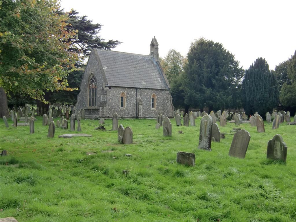
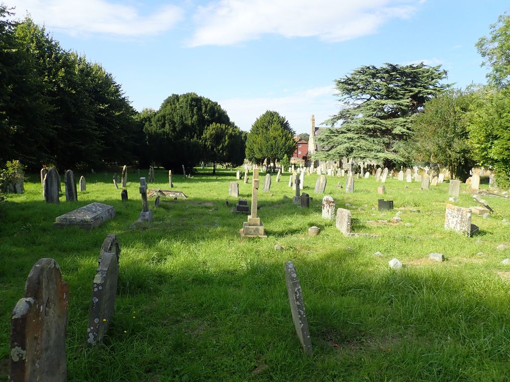
| Description | : | Founded before 1850, it is believed that there are approximately 11,000 people buried in Newtown Road Cemetery. Unfortunately, the plot records along with some burial ledgers were lost in a fire. Only the location of those with headstones can be verified. The cemetery was closed to further burials in 2000 on health and safety grounds. It is open every day from 10am to 3pm. |
frequently asked questions (FAQ):
-
Where is Newtown Road Cemetery?
Newtown Road Cemetery is located at Newbury, West Berkshire Unitary Authority ,Berkshire ,England.
-
Newtown Road Cemetery cemetery's updated grave count on graveviews.com?
3 memorials
-
Where are the coordinates of the Newtown Road Cemetery?
Latitude: 51.3924300
Longitude: -1.3252900
Nearby Cemetories:
1. Newbury Friends Burial Ground (Defunct)
Reading Borough, England
Coordinate: 51.3987240, -1.3228830
2. St Nicolas Churchyard
Newbury, West Berkshire Unitary Authority, England
Coordinate: 51.4009920, -1.3248370
3. St Mary the Virgin Churchyard
Greenham, West Berkshire Unitary Authority, England
Coordinate: 51.3883350, -1.3030280
4. Shaw St Marys Churchyard
Newbury, West Berkshire Unitary Authority, England
Coordinate: 51.4116940, -1.3186810
5. St. Mary the Virgin Churchyard
Speen, West Berkshire Unitary Authority, England
Coordinate: 51.4076540, -1.3469800
6. St Mary and St John the Baptist Churchyard
Newtown, Basingstoke and Deane Borough, England
Coordinate: 51.3702000, -1.3169200
7. Shaw Cemetery
Newbury, West Berkshire Unitary Authority, England
Coordinate: 51.4138160, -1.3106410
8. St. Michael and All Angels Churchyard
Enborne, West Berkshire Unitary Authority, England
Coordinate: 51.3893860, -1.3751660
9. Thatcham United Reform Church Burial Ground
Thatcham, West Berkshire Unitary Authority, England
Coordinate: 51.4025141, -1.2595003
10. St Mary's
Thatcham, West Berkshire Unitary Authority, England
Coordinate: 51.4017420, -1.2591060
11. St Mary Churchyard
Hamstead Marshall, West Berkshire Unitary Authority, England
Coordinate: 51.3981940, -1.3977010
12. Church of the Ascension Churchyard
Burghclere, Basingstoke and Deane Borough, England
Coordinate: 51.3466000, -1.3269200
13. St Peter Churchyard
Headley, Basingstoke and Deane Borough, England
Coordinate: 51.3601370, -1.2620360
14. St. Thomas Churchyard
Woolton Hill, Basingstoke and Deane Borough, England
Coordinate: 51.3517900, -1.3841060
15. St Lawrence Churchyard
Ecchinswell, Basingstoke and Deane Borough, England
Coordinate: 51.3356400, -1.2821600
16. Highclere Cemetery
Highclere, Basingstoke and Deane Borough, England
Coordinate: 51.3319240, -1.3625700
17. St. Martin's Churchyard
East Woodhay, Basingstoke and Deane Borough, England
Coordinate: 51.3511800, -1.4188700
18. Bucklebury Churchyard
Bucklebury, West Berkshire Unitary Authority, England
Coordinate: 51.4163030, -1.2162090
19. Marlston Chapel
Bucklebury, West Berkshire Unitary Authority, England
Coordinate: 51.4442400, -1.2400690
20. All Saints Churchyard
Old Burghclere, Basingstoke and Deane Borough, England
Coordinate: 51.3181600, -1.3290300
21. West Woodhay Churchyard
West Woodhay, West Berkshire Unitary Authority, England
Coordinate: 51.3637960, -1.4385220
22. Holy Trinity Churchyard
Hermitage, West Berkshire Unitary Authority, England
Coordinate: 51.4578340, -1.2609900
23. St. Mary the Virgin Churchyard
Kintbury, West Berkshire Unitary Authority, England
Coordinate: 51.4007840, -1.4505240
24. St Paul Churchyard
Ashford Hill, Basingstoke and Deane Borough, England
Coordinate: 51.3556440, -1.2120460