
| Memorials | : | 0 |
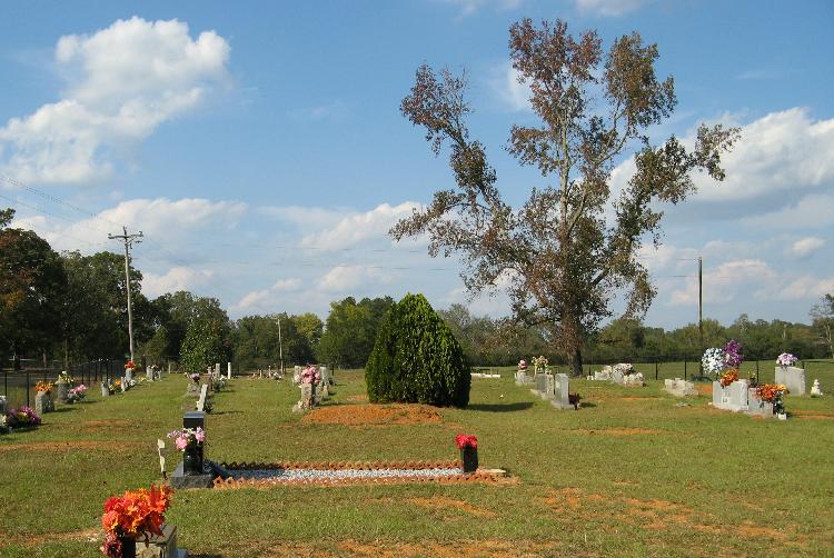
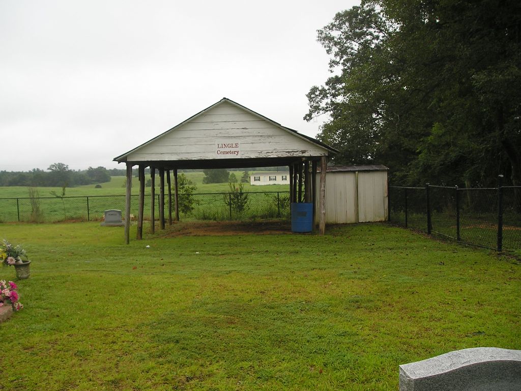
| Location | : | Lingle, Smith County, USA |
| Coordinate | : | 32.2091200, -89.5731800 |
| Description | : | From Raleigh, Mississippi take Highway 35 North 6.4 miles to the intersection of Highway 481 and turn left (West.) Continue on Hwy 481 8.7 miles to the intersection of Smith County Road 558 (SCR 558) and turn right (East.) Continue of SCR 558 2.6 miles, Lingle cemetery will be on the left (East) side of SCR 558, specifically: SW1/4 SW1/4, S3, T4N-R7E, Smith, Homewood Quadrangle map, USNG: 16S BA 57397 66591 |
frequently asked questions (FAQ):
-
Where is Lingle Cemetery?
Lingle Cemetery is located at 2529 Smith County Road 558 Lingle, Smith County ,Mississippi , 39152USA.
-
Lingle Cemetery cemetery's updated grave count on graveviews.com?
0 memorials
-
Where are the coordinates of the Lingle Cemetery?
Latitude: 32.2091200
Longitude: -89.5731800

Nearby Cemetories:
1. Black Cemetery
Smith County, USA
Coordinate: 32.2098070, -89.5739170
2. Roberts Cemetery
Smith County, USA
Coordinate: 32.1968100, -89.5688000
3. Luther Chapel Lutheran Church Cemetery
Lingle, Smith County, USA
Coordinate: 32.2183500, -89.5443800
4. New Goodhope Baptist Cemetery
Pulaski, Scott County, USA
Coordinate: 32.2314030, -89.5920360
5. Bethel Baptist Church Cemetery
Smith County, USA
Coordinate: 32.1830920, -89.5565660
6. Luther Chapel Cemetery
Pulaski, Scott County, USA
Coordinate: 32.2405100, -89.5511900
7. New Chapel Cemetery
Smith County, USA
Coordinate: 32.1710100, -89.5944800
8. Zion Cemetery
Smith County, USA
Coordinate: 32.1689700, -89.5918000
9. Gasque Chapel Cemetery
Smith County, USA
Coordinate: 32.1793540, -89.5297340
10. Warrens Cemetery
Pulaski, Scott County, USA
Coordinate: 32.2570700, -89.5885500
11. Searcy Cemetery
Pulaski, Scott County, USA
Coordinate: 32.2608200, -89.6004700
12. Good Hope Cemetery
Smith County, USA
Coordinate: 32.1613100, -89.5345100
13. Lorena Baptist Church Extension Cemetery
Smith County, USA
Coordinate: 32.1976340, -89.5059530
14. Lorena Baptist Church Cemetery
Lorena, Smith County, USA
Coordinate: 32.1917890, -89.5061570
15. Mount Mariah Missionary Baptist Church Cemetery
Pulaski, Scott County, USA
Coordinate: 32.2686700, -89.5760100
16. Derrick Cemetery
Smith County, USA
Coordinate: 32.1484800, -89.5742400
17. Brassell Cemetery
Pulaski, Scott County, USA
Coordinate: 32.2728004, -89.5849991
18. Homewood Methodist Church Cemetery
Forest, Scott County, USA
Coordinate: 32.2410500, -89.5046000
19. Noblin Cemetery
Forest, Scott County, USA
Coordinate: 32.2310210, -89.4952380
20. Pulaski Cemetery
Pulaski, Scott County, USA
Coordinate: 32.2744300, -89.6032100
21. Providence Cemetery
Burns, Smith County, USA
Coordinate: 32.1357400, -89.5528600
22. Hailes Cemetery
Polkville, Smith County, USA
Coordinate: 32.1911011, -89.6605988
23. Piney Grove Cemetery
Polkville, Smith County, USA
Coordinate: 32.2161200, -89.6676300
24. Union Grove Cemetery
Smith County, USA
Coordinate: 32.1888520, -89.4801290