
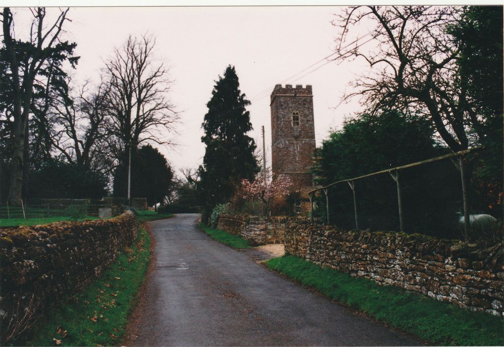
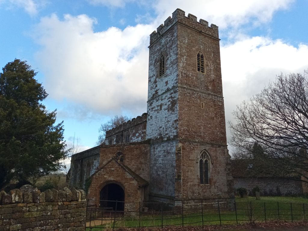
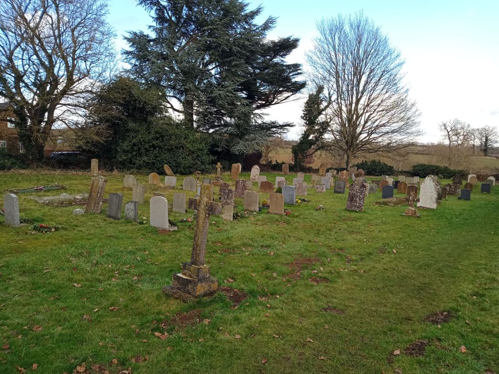
| Memorials | : | 1 |
| Location | : | Wigginton, Cherwell District, England |
| Coordinate | : | 51.9966400, -1.4324000 |
frequently asked questions (FAQ):
-
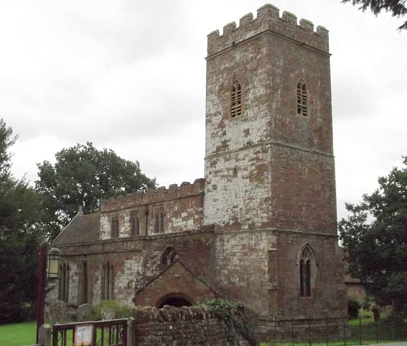
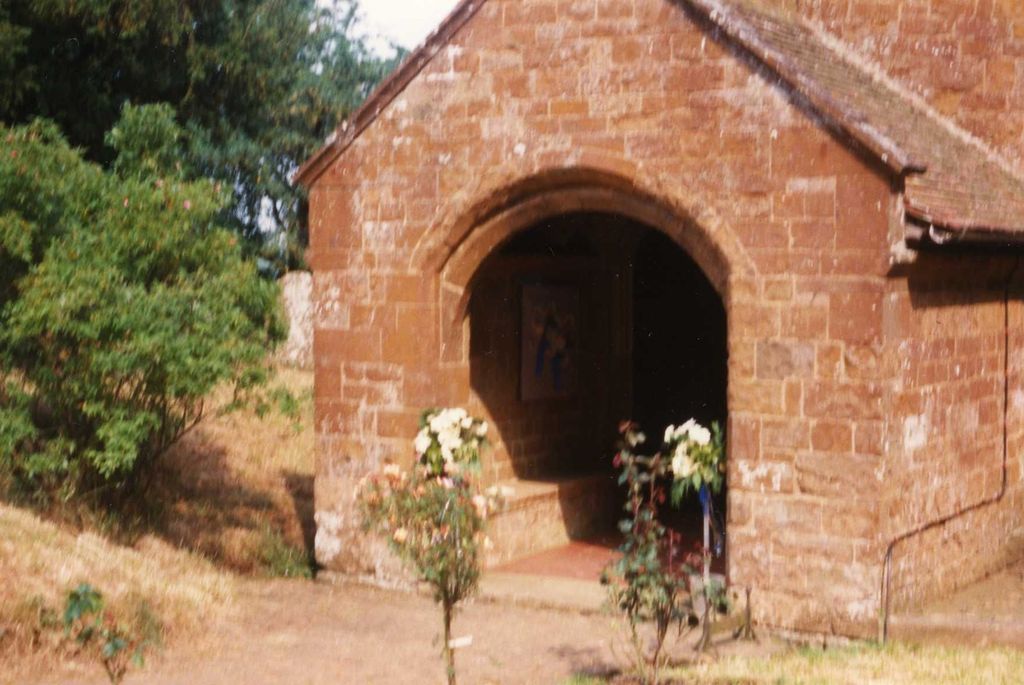
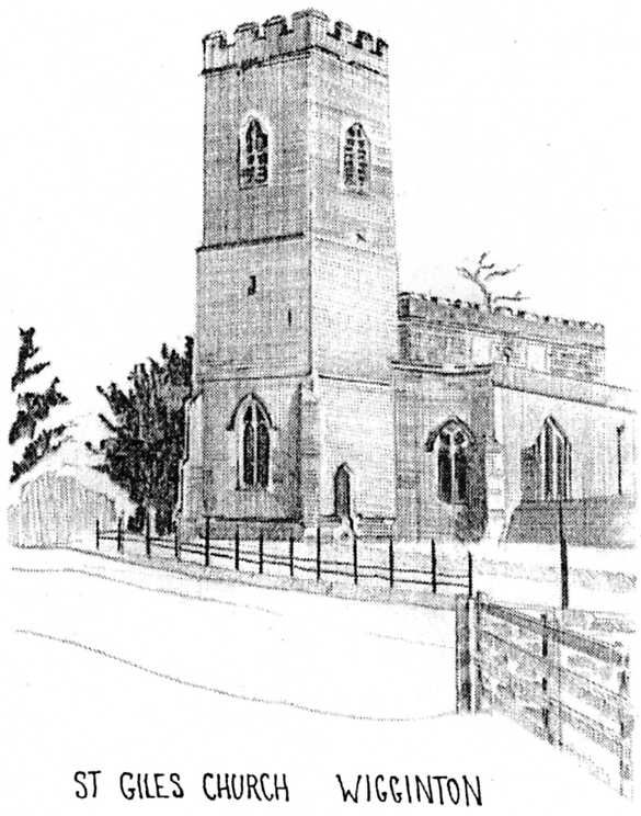
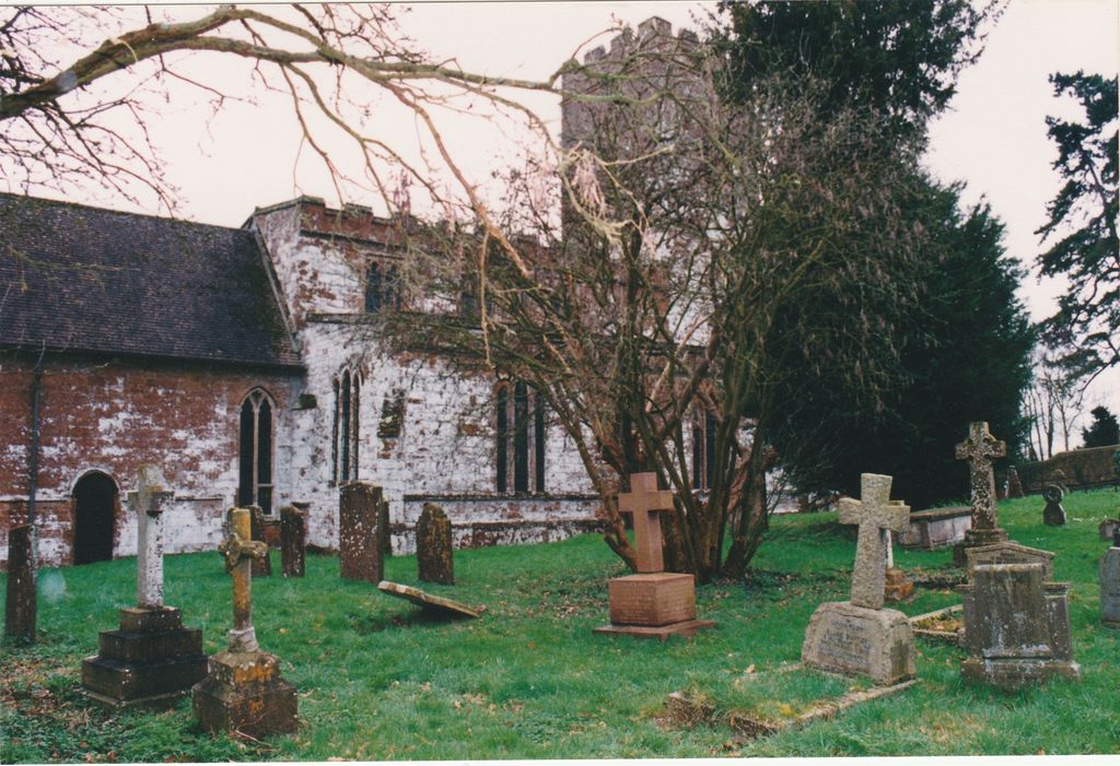
Where is Saint Giles?
Saint Giles is located at Wigginton Road Wigginton, Cherwell District ,Oxfordshire , OX15 4JUEngland.
-
Saint Giles cemetery's updated grave count on graveviews.com?
1 memorials
-
Where are the coordinates of the Saint Giles?
Latitude: 51.9966400
Longitude: -1.4324000
Nearby Cemetories:
1. South Newington St Peter ad Vincula
South Newington, Cherwell District, England
Coordinate: 51.9970000, -1.4082300
2. Saint Laurence Churchyard
Milcombe, Cherwell District, England
Coordinate: 52.0083060, -1.4033990
3. St Mary Churchyard
Swerford, West Oxfordshire District, England
Coordinate: 51.9773470, -1.4593150
4. Hook Norton Cemetery
Hook Norton, Cherwell District, England
Coordinate: 51.9969440, -1.4787690
5. St Peters Churchyard
Hook Norton, Cherwell District, England
Coordinate: 51.9954200, -1.4842490
6. Hook Norton Baptist Burial Ground
Hook Norton, Cherwell District, England
Coordinate: 51.9953000, -1.4860900
7. Barford St. Michael Churchyard
Barford St Michael, Cherwell District, England
Coordinate: 51.9903200, -1.3711500
8. St Michael and All Angels Churchyard
Great Tew, West Oxfordshire District, England
Coordinate: 51.9569280, -1.4205150
9. St Nicholas Churchyard
Tadmarton, Cherwell District, England
Coordinate: 52.0377060, -1.4295690
10. St Mary's Churchyard
Bloxham, Cherwell District, England
Coordinate: 52.0181100, -1.3748900
11. St. Peter and St. Paul Churchyard
Swalcliffe, Cherwell District, England
Coordinate: 52.0380790, -1.4497340
12. St James Churchyard
Nether Worton, West Oxfordshire District, England
Coordinate: 51.9678100, -1.3807900
13. St Johns Churchyard
Little Tew, West Oxfordshire District, England
Coordinate: 51.9540390, -1.4419230
14. St John's Churchyard
Barford St John, Cherwell District, England
Coordinate: 51.9955050, -1.3620350
15. Holy Trinity Churchyard
Over Worton, West Oxfordshire District, England
Coordinate: 51.9598240, -1.3753620
16. Holy Trinity Churchyard
Sibford Gower, Cherwell District, England
Coordinate: 52.0374300, -1.4822670
17. St Mary the Virgin Churchyard
Broughton, Cherwell District, England
Coordinate: 52.0417020, -1.3912030
18. Friends Burial Ground
Sibford Gower, Cherwell District, England
Coordinate: 52.0373140, -1.4889440
19. St John the Evangelist
Milton, Cherwell District, England
Coordinate: 52.0117900, -1.3452510
20. Great Rollright St Andrews Churchyard
Rollright, West Oxfordshire District, England
Coordinate: 51.9809290, -1.5255550
21. Old St. Nicholas Churchyard
Heythrop, West Oxfordshire District, England
Coordinate: 51.9468000, -1.4889600
22. Deddington Cemetery
Deddington, Cherwell District, England
Coordinate: 51.9824490, -1.3338930
23. St Martins Churchyard
Sandford St Martin, West Oxfordshire District, England
Coordinate: 51.9371500, -1.3901400
24. Adderbury Parish Cemetery
Adderbury, Cherwell District, England
Coordinate: 52.0139537, -1.3246874