
| Memorials | : | 0 |
| Location | : | Bruceville, Dyer County, USA |
| Coordinate | : | 35.9256960, -89.3584940 |
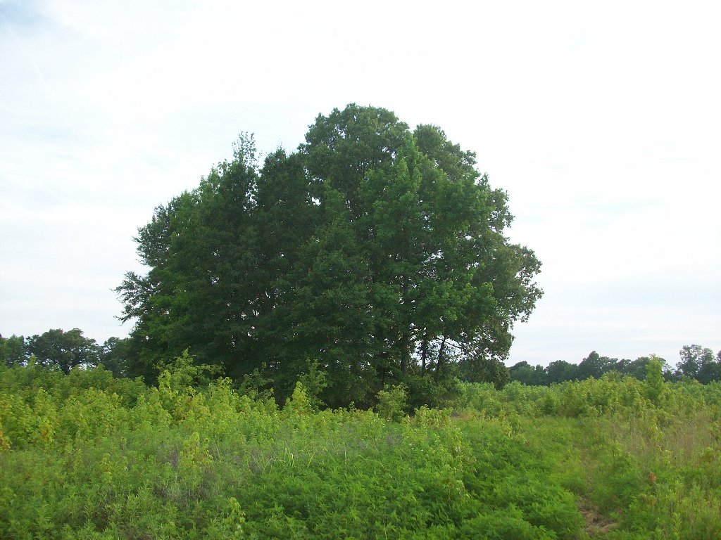
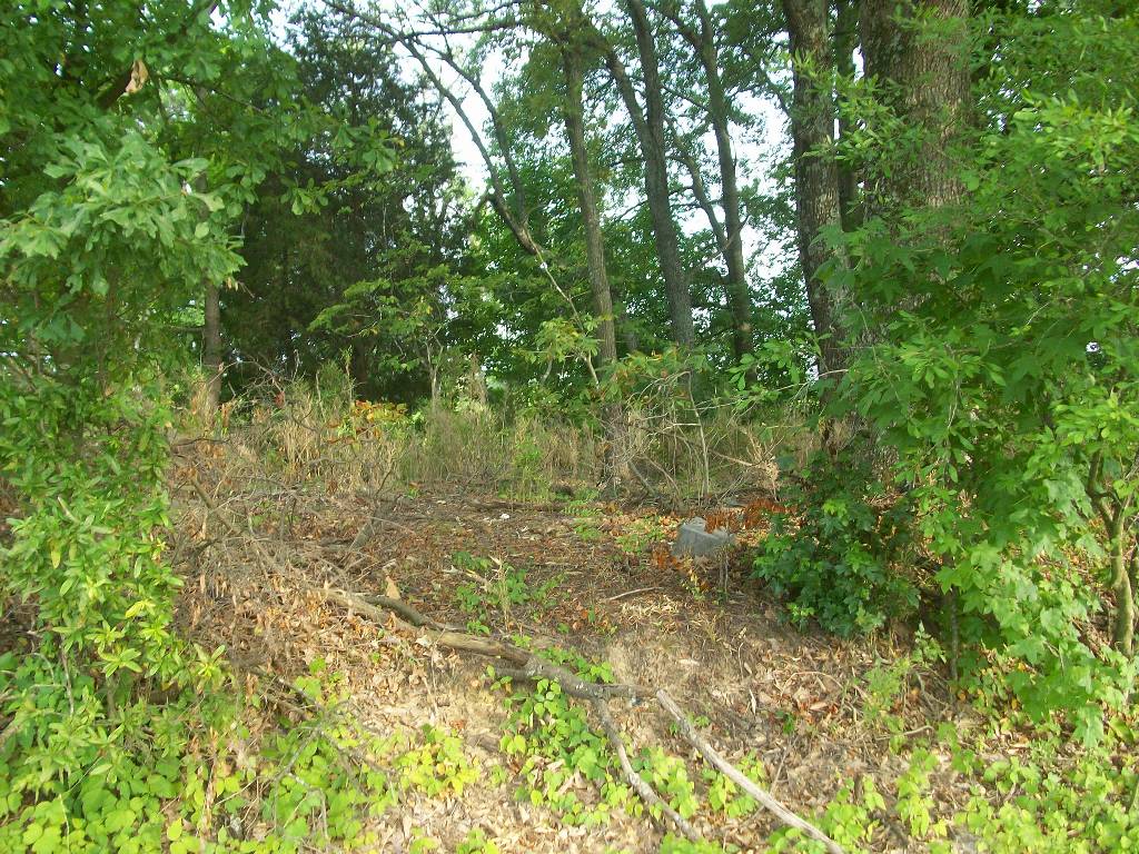
| Description | : | From the intersection of Old Hwy 20 & US-51 S, at Four Points, travel east on Old Hwy 20 for 0.1 mi.; turning south (right) onto Tn-210 S, going 2.8 mi.; turning east (left) onto Bruceville Slab Rd., going 2.2 mi.; turning west (right) into the farm access road to the area. Take the access road, having the row of trees on your right, due west, then turn south along a levee to a very small elevated grove of trees. This can sometimes be seen from Bruceville Slab Rd. This cemetery is on land once belonging to Joel... Read More |
frequently asked questions (FAQ):
-
Where is Peal and Bailey Land Cemetery?
Peal and Bailey Land Cemetery is located at 2020 Bruceville Slab Road Bruceville, Dyer County ,Tennessee ,USA.
-
Peal and Bailey Land Cemetery cemetery's updated grave count on graveviews.com?
0 memorials
-
Where are the coordinates of the Peal and Bailey Land Cemetery?
Latitude: 35.9256960
Longitude: -89.3584940
Nearby Cemetories:
1. Palestine Cemetery
Bruceville, Dyer County, USA
Coordinate: 35.9183080, -89.3536090
2. Shelton Cemetery
Fowlkes, Dyer County, USA
Coordinate: 35.9416530, -89.3281750
3. Green Hill Memorial Garden Cemetery
Halls, Lauderdale County, USA
Coordinate: 35.9139570, -89.3922510
4. McCoy Cemetery
Dyer County, USA
Coordinate: 35.9536018, -89.3827972
5. Pate Family Cemetery
Bonicord, Dyer County, USA
Coordinate: 35.9575110, -89.3389720
6. Williams Chapel Cemetery
Bonicord, Dyer County, USA
Coordinate: 35.9472008, -89.3221970
7. Millers Chapel Cemetery
Dyersburg, Dyer County, USA
Coordinate: 35.9385986, -89.3163986
8. Holly Springs Cemetery
Fowlkes, Dyer County, USA
Coordinate: 35.9622940, -89.3685410
9. Stallcup Family Cemetery
Cross Roads, Dyer County, USA
Coordinate: 35.8980720, -89.3245320
10. Cock and Irvin Cemetery
Hawkinsville, Dyer County, USA
Coordinate: 35.9104430, -89.3046210
11. Poplar Grove Memorial Garden
Halls, Lauderdale County, USA
Coordinate: 35.9256840, -89.4211890
12. Clay Cemetery
Fowlkes, Dyer County, USA
Coordinate: 35.9760780, -89.3453920
13. Sorrell Chapel Cemetery
Bonicord, Dyer County, USA
Coordinate: 35.9772470, -89.3458570
14. Jordan Cemetery
Halls, Lauderdale County, USA
Coordinate: 35.8795030, -89.3917070
15. Murray Cemetery
Bonicord, Dyer County, USA
Coordinate: 35.9485000, -89.2969000
16. Parr Cemetery
Halls, Lauderdale County, USA
Coordinate: 35.9123900, -89.4246010
17. Mount Pisgah Cemetery
Friendship, Dyer County, USA
Coordinate: 35.9162470, -89.2901740
18. Staggs Cemetery
Friendship, Dyer County, USA
Coordinate: 35.9397930, -89.2896620
19. Zion Hill Church Cemetery
Friendship, Dyer County, USA
Coordinate: 35.9095110, -89.2900760
20. Hodge Cemetery
Dyersburg, Dyer County, USA
Coordinate: 35.9836620, -89.3532490
21. Salisbury Cemetery
Halls, Lauderdale County, USA
Coordinate: 35.8959000, -89.4221000
22. Halls Cemetery
Halls, Lauderdale County, USA
Coordinate: 35.8776140, -89.4061750
23. Nash Cemetery
Dyersburg, Dyer County, USA
Coordinate: 35.9252500, -89.2822230
24. Fowlkes Methodist Church Cemetery
Fowlkes, Dyer County, USA
Coordinate: 35.9781560, -89.3996230