
| Memorials | : | 19 |
| Location | : | Fowlkes, Dyer County, USA |
| Coordinate | : | 35.9622940, -89.3685410 |
| Description | : | From the intersection of Old Hwy 20/TN-210 & US-51, south of Dyersburg, travel east on Old Hwy 20/TN-210 for 0.6 mi.; turning south onto Peach Rd., going 0.7 mi., continuing onto Old Fowlkes Rd., going 0.6 mi.; continuing straight onto Holly Springs Cemetery Rd., going 0.6 mi. to this large cemetery at the end of the road. |
frequently asked questions (FAQ):
-
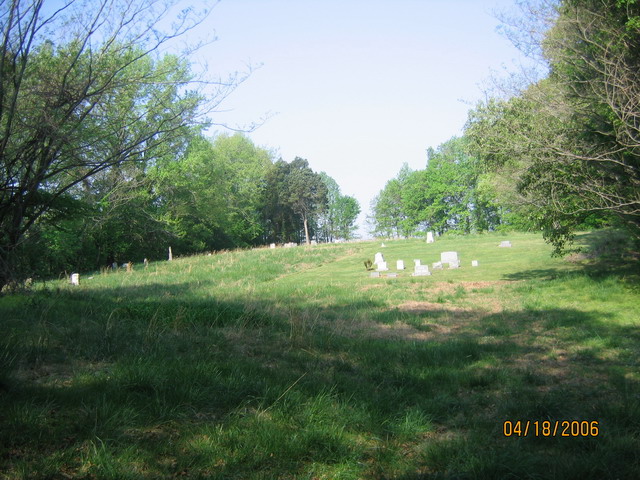
Where is Holly Springs Cemetery?
Holly Springs Cemetery is located at Holly Springs Cemetery Road Fowlkes, Dyer County ,Tennessee ,USA.
-
Holly Springs Cemetery cemetery's updated grave count on graveviews.com?
19 memorials
-
Where are the coordinates of the Holly Springs Cemetery?
Latitude: 35.9622940
Longitude: -89.3685410
Nearby Cemetories:
1. McCoy Cemetery
Dyer County, USA
Coordinate: 35.9536018, -89.3827972
2. Clay Cemetery
Fowlkes, Dyer County, USA
Coordinate: 35.9760780, -89.3453920
3. Sorrell Chapel Cemetery
Bonicord, Dyer County, USA
Coordinate: 35.9772470, -89.3458570
4. Pate Family Cemetery
Bonicord, Dyer County, USA
Coordinate: 35.9575110, -89.3389720
5. Hodge Cemetery
Dyersburg, Dyer County, USA
Coordinate: 35.9836620, -89.3532490
6. King Cemetery
Dyersburg, Dyer County, USA
Coordinate: 35.9810470, -89.3969130
7. Fowlkes Methodist Church Cemetery
Fowlkes, Dyer County, USA
Coordinate: 35.9781560, -89.3996230
8. Butterworth Cemetery
Fowlkes, Dyer County, USA
Coordinate: 35.9893990, -89.3974991
9. Peal and Bailey Land Cemetery
Bruceville, Dyer County, USA
Coordinate: 35.9256960, -89.3584940
10. Shelton Cemetery
Fowlkes, Dyer County, USA
Coordinate: 35.9416530, -89.3281750
11. Williams Chapel Cemetery
Bonicord, Dyer County, USA
Coordinate: 35.9472008, -89.3221970
12. Palestine Cemetery
Bruceville, Dyer County, USA
Coordinate: 35.9183080, -89.3536090
13. Millers Chapel Cemetery
Dyersburg, Dyer County, USA
Coordinate: 35.9385986, -89.3163986
14. Green Hill Memorial Garden Cemetery
Halls, Lauderdale County, USA
Coordinate: 35.9139570, -89.3922510
15. Mount Vernon Baptist Church Cemetery
Unionville, Dyer County, USA
Coordinate: 35.9605840, -89.4342750
16. Poplar Grove Memorial Garden
Halls, Lauderdale County, USA
Coordinate: 35.9256840, -89.4211890
17. Benton-Sharp Cemetery
Fowlkes, Dyer County, USA
Coordinate: 35.9706500, -89.4404700
18. Murray Cemetery
Bonicord, Dyer County, USA
Coordinate: 35.9485000, -89.2969000
19. Bell-Walker Cemetery
Tigrett, Dyer County, USA
Coordinate: 35.9581400, -89.2913360
20. Viar Cemetery
RoEllen, Dyer County, USA
Coordinate: 36.0101620, -89.3177740
21. Wood Cemetery
RoEllen, Dyer County, USA
Coordinate: 36.0101620, -89.3177740
22. Spate Cemetery
Double Bridges, Lauderdale County, USA
Coordinate: 35.9318890, -89.4396020
23. Parr Cemetery
Halls, Lauderdale County, USA
Coordinate: 35.9123900, -89.4246010
24. Staggs Cemetery
Friendship, Dyer County, USA
Coordinate: 35.9397930, -89.2896620