
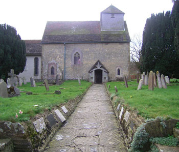
| Memorials | : | 1 |
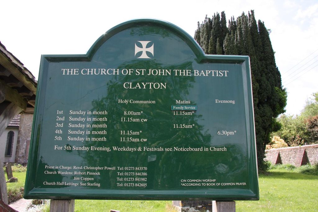
| Location | : | Clayton, Mid Sussex District, England |
| Coordinate | : | 50.9105170, -0.1534370 |
frequently asked questions (FAQ):
-
Where is St John the Baptist Churchyard?
St John the Baptist Churchyard is located at Clayton, Mid Sussex District ,West Sussex ,England.
-
St John the Baptist Churchyard cemetery's updated grave count on graveviews.com?
0 memorials
-
Where are the coordinates of the St John the Baptist Churchyard?
Latitude: 50.9105170
Longitude: -0.1534370

Nearby Cemetories:
1. Clayton Wood Natural Burial Ground
Clayton, Mid Sussex District, England
Coordinate: 50.9160900, -0.1547600
2. Church of the Transfiguration Churchyard
Pyecombe, Mid Sussex District, England
Coordinate: 50.8984590, -0.1642370
3. St Cosmas and St Damian Churchyard
Hassocks, Mid Sussex District, England
Coordinate: 50.9219800, -0.1305650
4. Hurstpierpoint South Avenue Cemetery
Hurstpierpoint, Mid Sussex District, England
Coordinate: 50.9300110, -0.1753150
5. Patcham Down Indian Forces Cremation Memorial
Patcham, Brighton and Hove Unitary Authority, England
Coordinate: 50.8841200, -0.1473900
6. Ditchling Unitarian Chapel Chapelyard
Ditchling, Lewes District, England
Coordinate: 50.9214096, -0.1129916
7. The Browne Burial Ground
Ditchling, Lewes District, England
Coordinate: 50.9213097, -0.1128219
8. Holy Trinity Churchyard
Hurstpierpoint, Mid Sussex District, England
Coordinate: 50.9337020, -0.1804460
9. Ditchling Cemetery
Ditchling, Lewes District, England
Coordinate: 50.9196160, -0.1050510
10. Poynings Cemetery
Poynings, Mid Sussex District, England
Coordinate: 50.8931150, -0.2024450
11. St Martin Churchyard
Westmeston, Lewes District, England
Coordinate: 50.9066840, -0.0971980
12. Burgess Hill Burial Ground
Burgess Hill, Mid Sussex District, England
Coordinate: 50.9542794, -0.1583567
13. All Saints Churchyard
Patcham, Brighton and Hove Unitary Authority, England
Coordinate: 50.8665100, -0.1510800
14. All Saints United Reformed Church
Burgess Hill, Mid Sussex District, England
Coordinate: 50.9537245, -0.1252350
15. Streat Churchyard
Streat, Lewes District, England
Coordinate: 50.9202600, -0.0794500
16. St. John the Evangelist Churchyard
Burgess Hill, Mid Sussex District, England
Coordinate: 50.9570100, -0.1333700
17. St Edward the Confessor
Burgess Hill, Mid Sussex District, England
Coordinate: 50.9606020, -0.1484840
18. Stanmer Churchyard
Stanmer, Brighton and Hove Unitary Authority, England
Coordinate: 50.8702740, -0.1019400
19. St Michael and All Angels Churchyard
Plumpton, Lewes District, England
Coordinate: 50.9050700, -0.0717450
20. St Andrew Churchyard
Burgess Hill, Mid Sussex District, England
Coordinate: 50.9604300, -0.1219500
21. St Peter's Churchyard
Woodmancote, Horsham District, England
Coordinate: 50.9213180, -0.2497350
22. Bethel Baptist Chapel
Wivelsfield, Lewes District, England
Coordinate: 50.9626990, -0.0952615
23. East Chiltington Churchyard
East Chiltington, Lewes District, England
Coordinate: 50.9192280, -0.0526570
24. West Blatchington St. Peter Churchyard
Hove, Brighton and Hove Unitary Authority, England
Coordinate: 50.8472720, -0.1851550