
| Memorials | : | 0 |
| Location | : | Reading, Reading Borough, England |
| Coordinate | : | 51.4567474, -0.9686236 |
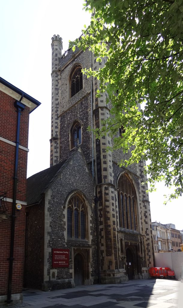
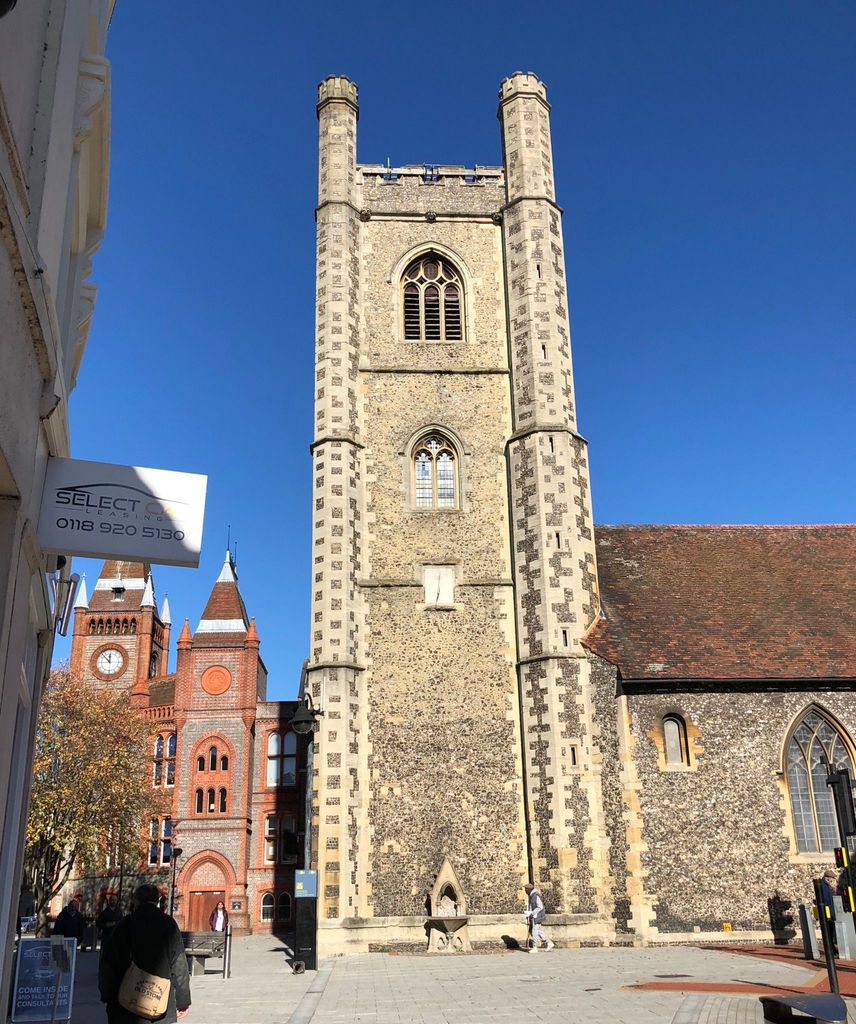
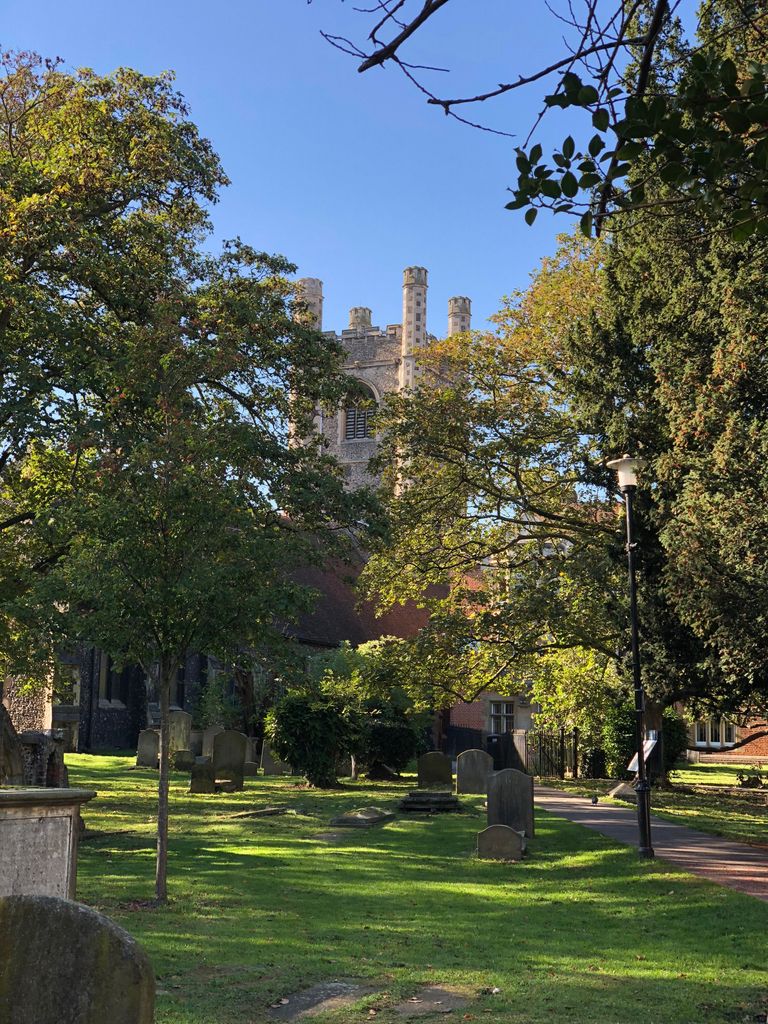
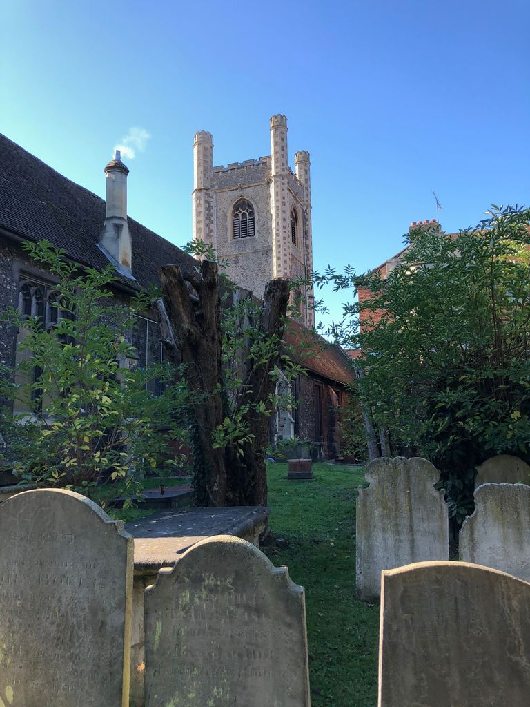
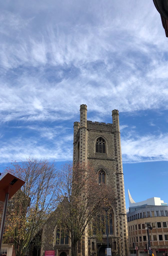
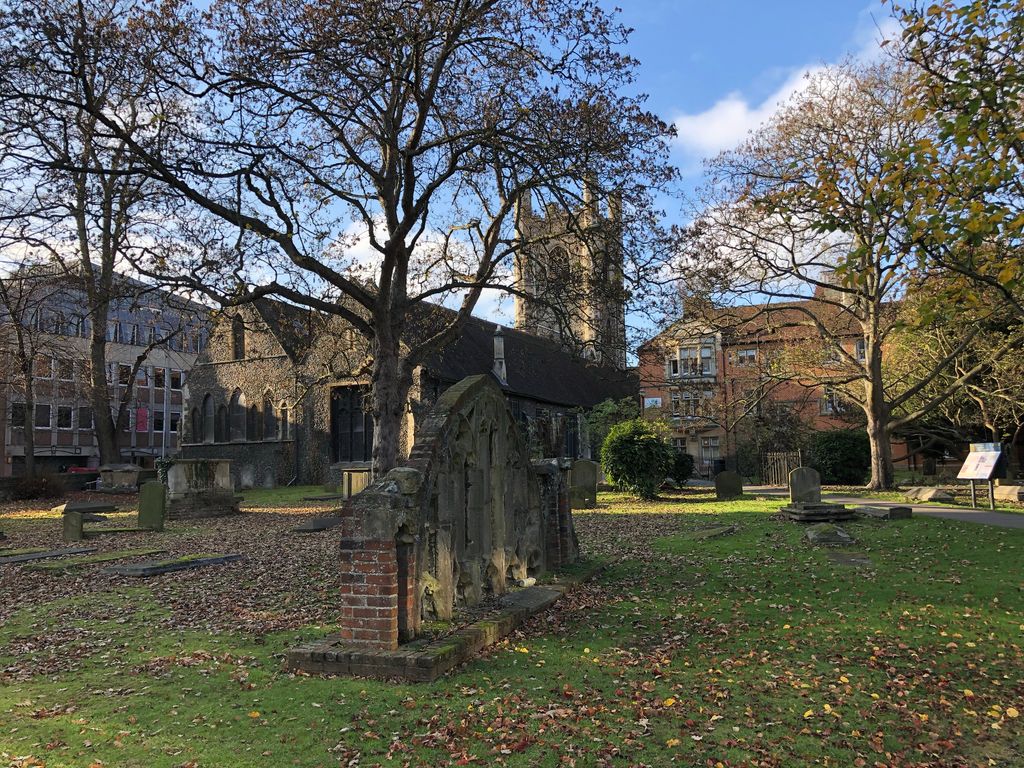
| Description | : | St Laurence's Church is a Church of England mission and former parish church in the town of Reading in Berkshire. It is located just west of the Reading Abbey Gateway. The Abbey Hospitium (guesthouse) bounds the churchyard to the north. St Laurence's was one of the three original parish churches, along with St Mary's and St Giles', serving the medieval borough of Reading. The church dates from the Norman period but underwent major rebuilding in 1196, the 15th century and in 1867. The churchyard extends NE from the church. Mary Tudor gave this piece of land to St Laurence's for... Read More |
frequently asked questions (FAQ):
-
Where is St. Laurence Churchyard?
St. Laurence Churchyard is located at Reading, Reading Borough ,Berkshire ,England.
-
St. Laurence Churchyard cemetery's updated grave count on graveviews.com?
0 memorials
-
Where are the coordinates of the St. Laurence Churchyard?
Latitude: 51.4567474
Longitude: -0.9686236
Nearby Cemetories:
1. Reading Abbey Ruins
Reading, Reading Borough, England
Coordinate: 51.4563710, -0.9651130
2. Reading Prison Cemetery
Reading, Reading Borough, England
Coordinate: 51.4564910, -0.9641120
3. St. Mary's Churchyard
Reading, Reading Borough, England
Coordinate: 51.4544953, -0.9735278
4. Greyfriars Churchyard
Reading, Reading Borough, England
Coordinate: 51.4567920, -0.9764880
5. St Giles Churchyard
Reading, Reading Borough, England
Coordinate: 51.4509510, -0.9704450
6. Reading Cemetery
Reading, Reading Borough, England
Coordinate: 51.4529450, -0.9480160
7. St. Peter's Churchyard
Caversham, Reading Borough, England
Coordinate: 51.4686597, -0.9807669
8. Caversham Cemetery
Caversham, Reading Borough, England
Coordinate: 51.4745850, -0.9758020
9. Reading Cemetery and Crematorium
Caversham, Reading Borough, England
Coordinate: 51.4737690, -0.9546570
10. Earley St Peter Churchyard
Earley, Wokingham Borough, England
Coordinate: 51.4434820, -0.9290850
11. Mays Lane Burial Ground
Earley, Wokingham Borough, England
Coordinate: 51.4431680, -0.9240020
12. All Saints Churchyard
Dunsden Green, South Oxfordshire District, England
Coordinate: 51.4917730, -0.9461650
13. St. Andrew's Churchyard
Sonning, Wokingham Borough, England
Coordinate: 51.4740300, -0.9131640
14. St. Mary Churchyard
Shinfield, Wokingham Borough, England
Coordinate: 51.4081180, -0.9524620
15. St Mary the Virgin Cemetery
Purley on Thames, West Berkshire Unitary Authority, England
Coordinate: 51.4797100, -1.0402200
16. Chapel of St Michael the Archangel
Mapledurham, South Oxfordshire District, England
Coordinate: 51.4849140, -1.0355910
17. St. Margaret's Churchyard
Mapledurham, South Oxfordshire District, England
Coordinate: 51.4850830, -1.0364690
18. Kidmore End Cemetery
Kidmore End, South Oxfordshire District, England
Coordinate: 51.5071600, -0.9942160
19. St. John the Baptist Churchyard
Kidmore End, South Oxfordshire District, England
Coordinate: 51.5085170, -0.9951240
20. Old Churchyard
Arborfield, Wokingham Borough, England
Coordinate: 51.4061530, -0.9231220
21. St. Peter and St. Paul Churchyard
Shiplake, South Oxfordshire District, England
Coordinate: 51.4980750, -0.8963940
22. Holy Trinity Churchyard
Grazeley, Wokingham Borough, England
Coordinate: 51.3972008, -0.9965683
23. St Bartholomew Churchyard
Arborfield, Wokingham Borough, England
Coordinate: 51.4043310, -0.9118300
24. St. Mary's Churchyard
Burghfield, West Berkshire Unitary Authority, England
Coordinate: 51.4110000, -1.0420000