
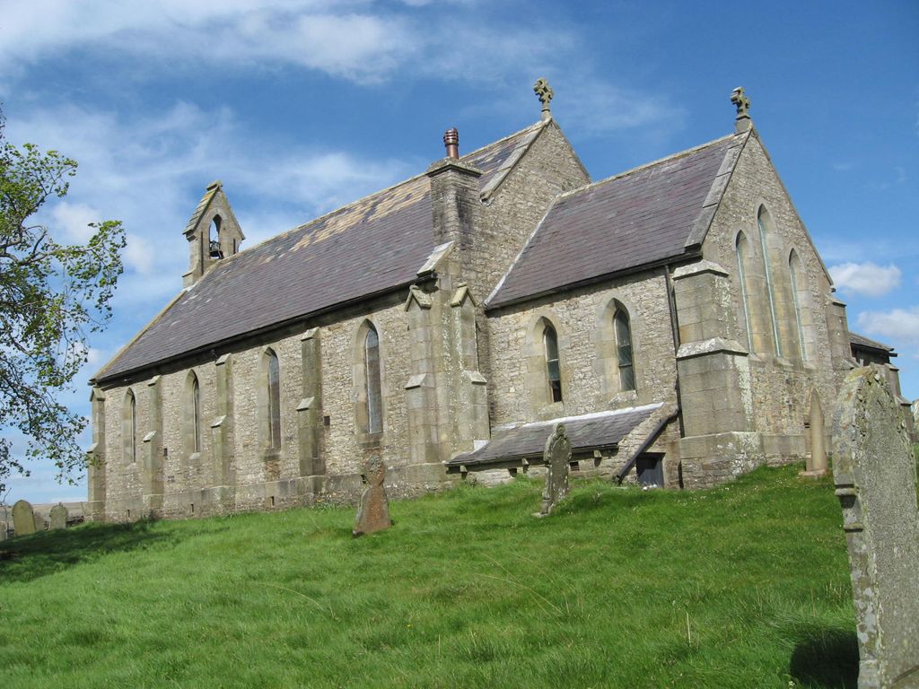
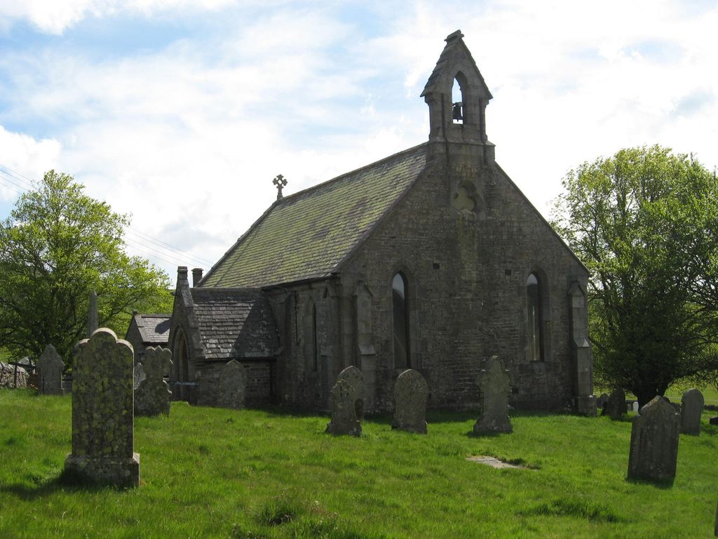
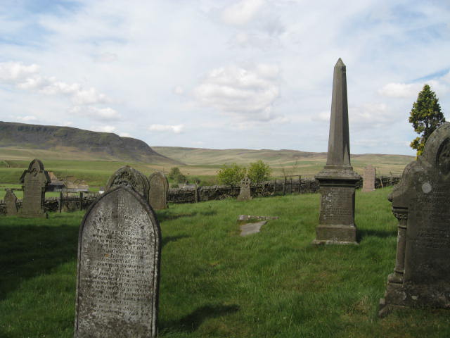
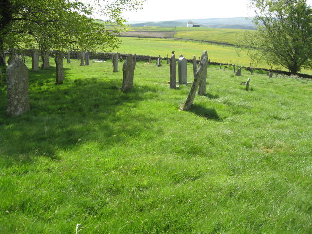
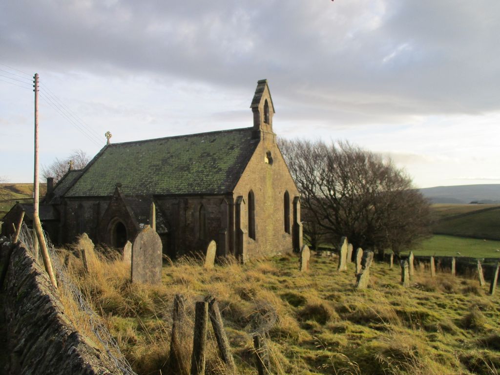
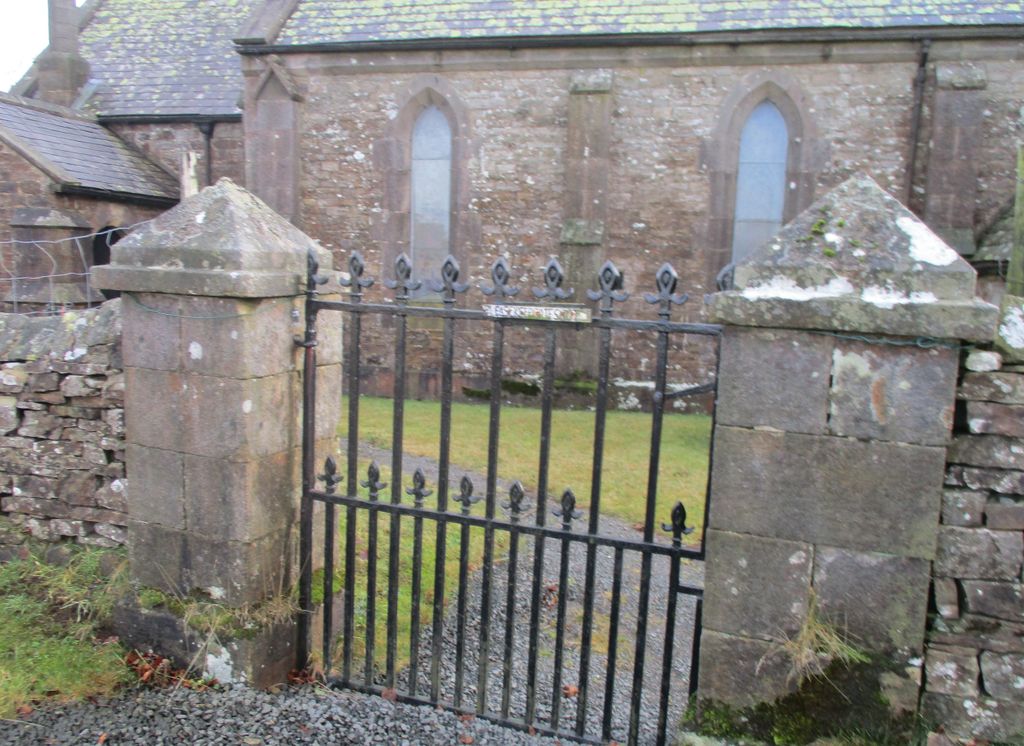
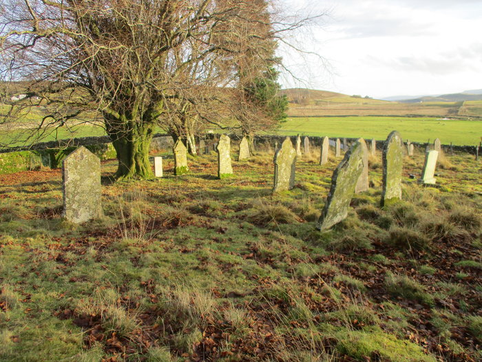
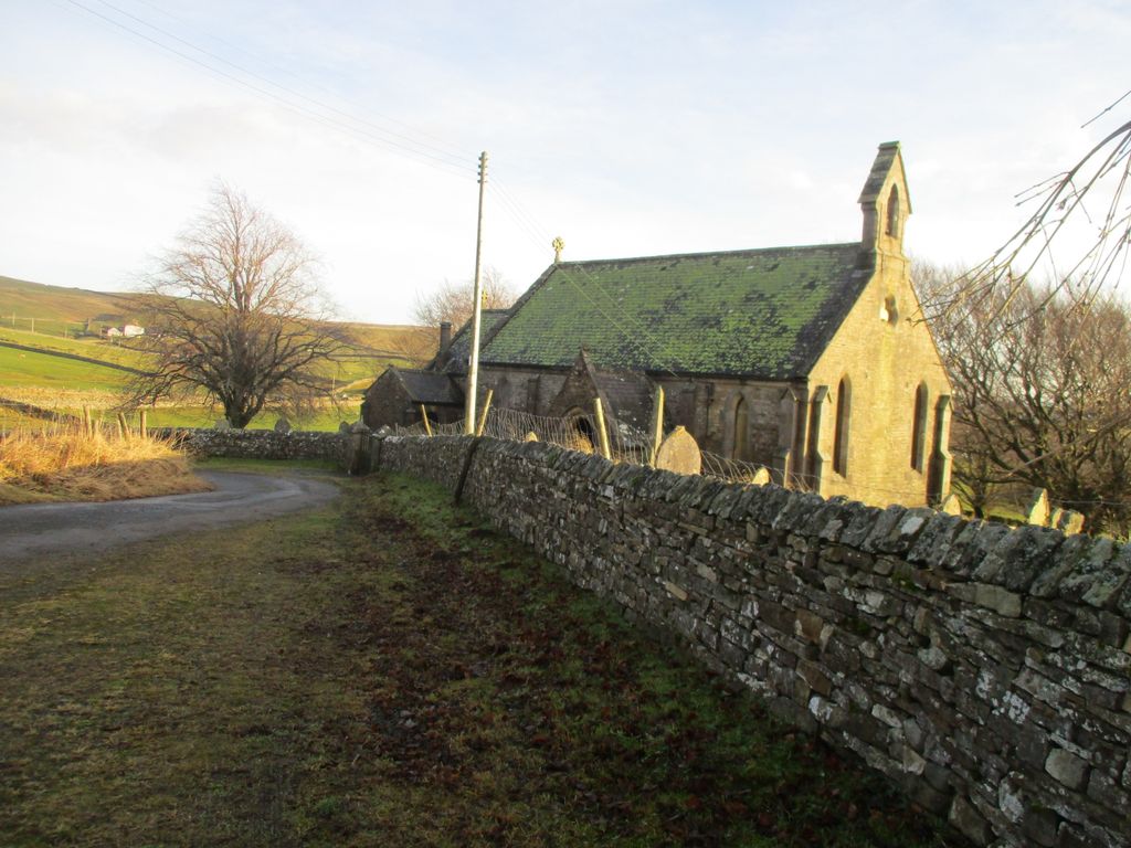
| Memorials | : | 0 |
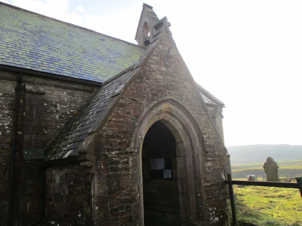
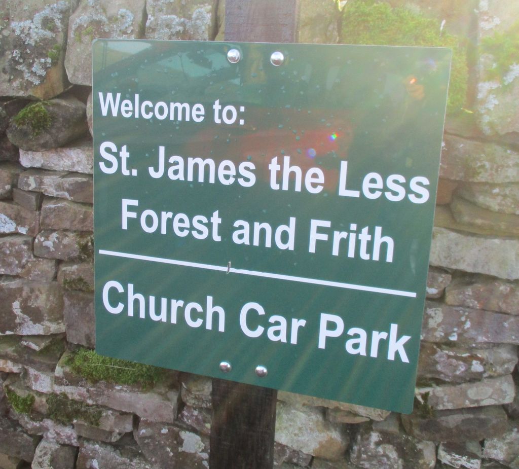
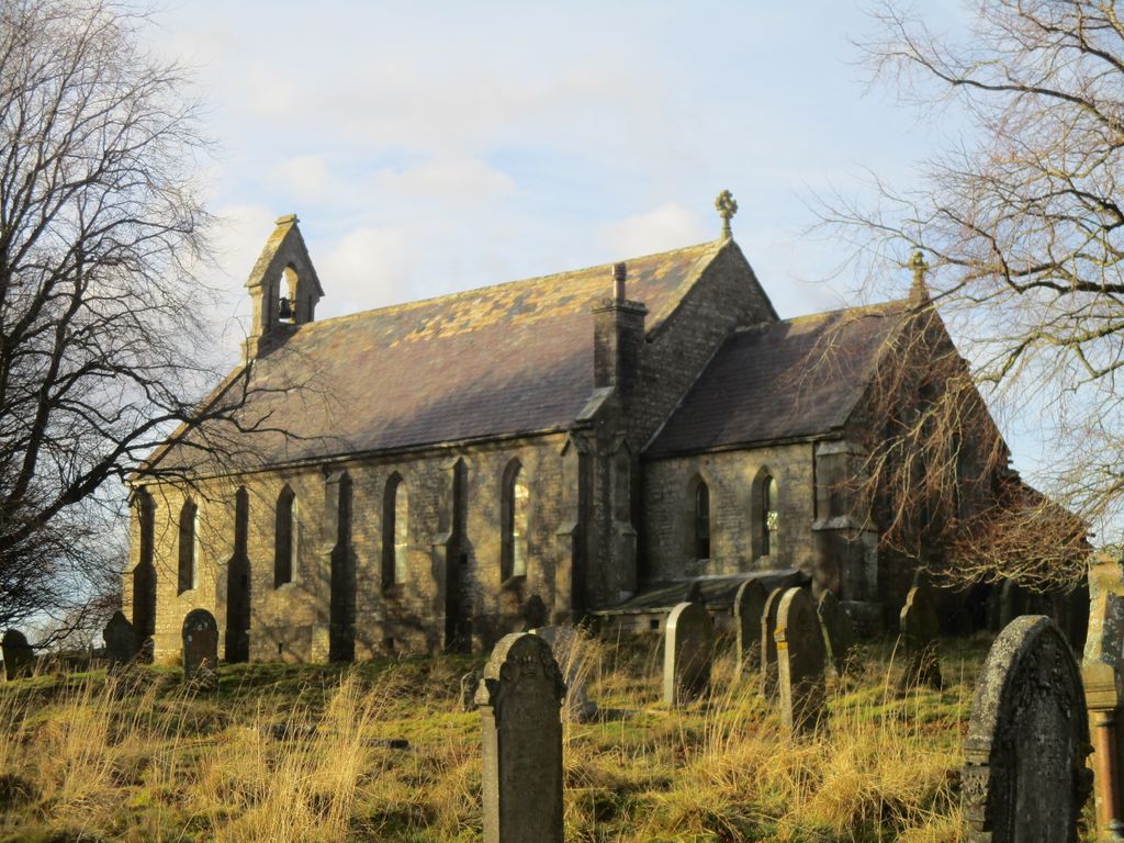
| Location | : | Forest in Teesdale, Durham Unitary Authority, England |
| Coordinate | : | 54.6719700, -2.2264200 |
frequently asked questions (FAQ):
-
Where is St James the Less Churchyard?
St James the Less Churchyard is located at Forest in Teesdale, Durham Unitary Authority ,County Durham ,England.
-
St James the Less Churchyard cemetery's updated grave count on graveviews.com?
0 memorials
-
Where are the coordinates of the St James the Less Churchyard?
Latitude: 54.6719700
Longitude: -2.2264200
Nearby Cemetories:
1. Burtree Ford Cemetery
Cowshill, Durham Unitary Authority, England
Coordinate: 54.7587910, -2.2286680
2. Saint Thomas Heatherycleugh
Cowshill, Durham Unitary Authority, England
Coordinate: 54.7601700, -2.2264200
3. Copt Hill Churchyard
Cowshill, Durham Unitary Authority, England
Coordinate: 54.7626700, -2.2320470
4. Middleton On Teesdale Churchyard
Middleton-in-Teesdale, Durham Unitary Authority, England
Coordinate: 54.6257980, -2.0825420
5. Lune Chapel Churchyard
Laithkirk, Durham Unitary Authority, England
Coordinate: 54.6115800, -2.0717400
6. All Saints Churchyard
Eastgate, Durham Unitary Authority, England
Coordinate: 54.7445590, -2.0745270
7. Rookhope Cemetery
Eastgate, Durham Unitary Authority, England
Coordinate: 54.7744000, -2.0916800
8. Old Churchyard
Eastgate, Durham Unitary Authority, England
Coordinate: 54.7751710, -2.0933400
9. St John's Churchyard
Nenthead, Eden District, England
Coordinate: 54.7903000, -2.3434180
10. St John the Evangelist Churchyard
Garrigill, Eden District, England
Coordinate: 54.7677610, -2.3977800
11. Nenthead Cemetery
Nenthead, Eden District, England
Coordinate: 54.7947260, -2.3536210
12. Redwing Chapel Churchyard
Garrigill, Eden District, England
Coordinate: 54.7702390, -2.4071080
13. Holy Trinity Churchyard
Eggleston, Durham Unitary Authority, England
Coordinate: 54.6082390, -2.0037610
14. Chapel of Ease
Eggleston, Durham Unitary Authority, England
Coordinate: 54.6058000, -2.0050000
15. Romaldkirk Cemetery
Romaldkirk, Durham Unitary Authority, England
Coordinate: 54.5977800, -2.0083200
16. St. Romald Churchyard
Romaldkirk, Durham Unitary Authority, England
Coordinate: 54.5941550, -2.0089636
17. St. Cuthbert's Churchyard
Dufton, Eden District, England
Coordinate: 54.6299140, -2.4897870
18. Carrshield Anglican Churchyard
Allendale, Northumberland Unitary Authority, England
Coordinate: 54.8229010, -2.3083050
19. St Peter in the Forest
Allendale, Northumberland Unitary Authority, England
Coordinate: 54.8313100, -2.2350600
20. St Michael Churchyard
Brough, Eden District, England
Coordinate: 54.5201950, -2.3210920
21. Saint Michael's Churchyard
Frosterley, Durham Unitary Authority, England
Coordinate: 54.7270600, -1.9597500
22. St. Columba Churchyard
Warcop, Eden District, England
Coordinate: 54.5359610, -2.3988140
23. Rey Cross
Eden District, England
Coordinate: 54.5057950, -2.1486260
24. Cotherstone Friends Burial Ground
Cotherstone, Durham Unitary Authority, England
Coordinate: 54.5722230, -1.9824740