| Memorials | : | 0 |
| Location | : | Parsons, Decatur County, USA |
| Coordinate | : | 35.6638920, -88.0932450 |
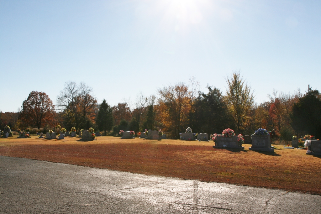
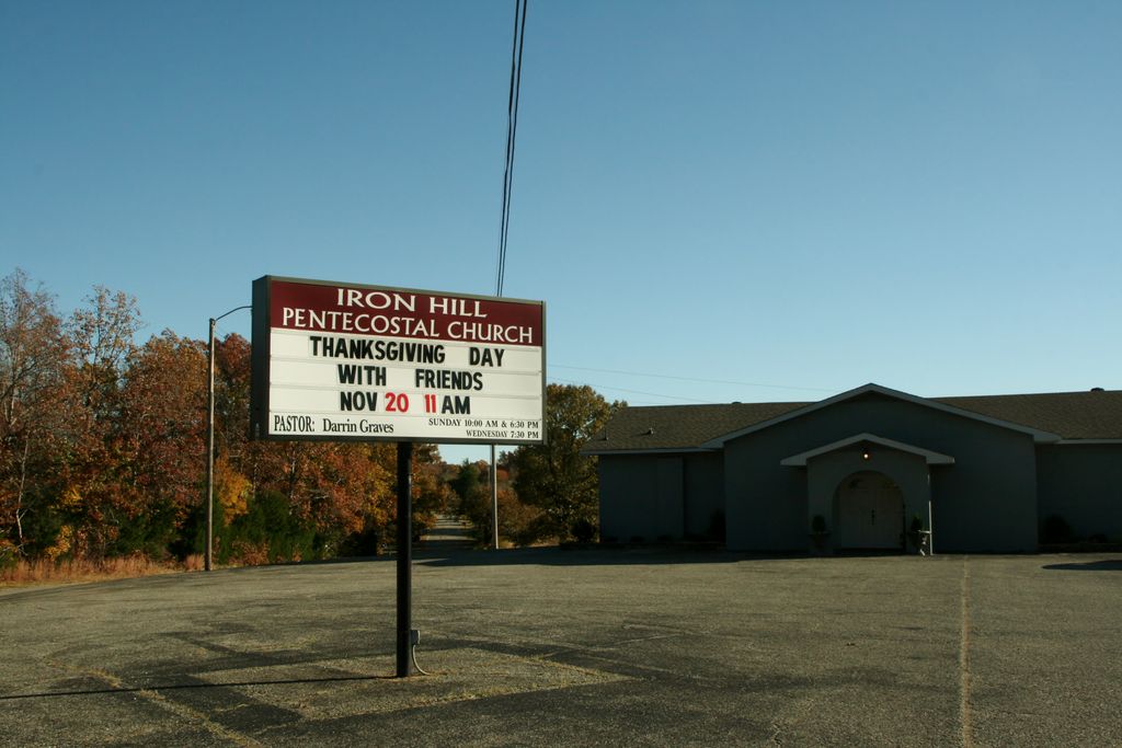
| Description | : | Located off Hwy 412 turn left on Davis Mill Road, about 2 miles at the Iron Hill Church. From the intersection of E Main St. & Georgia Ave., in Parsons, travel east on E Main St for 0.2 mi., turning north (left) onto Camden Rd., going 0.8 mi.; turning east (right) onto Iron Hill Rd., going 1.5 mi. to the cemetery on the south (right) side of the road & besides the Iron Hill Pentecostal Church. The cemetery at Iron Hill Pentecostal Church was established about 1960. The cemetery is not indicated on the U.S.G.S. Jeanette... Read More |
frequently asked questions (FAQ):
-
Where is Iron Hill Church Cemetery?
Iron Hill Church Cemetery is located at 1538 Iron Hill Road Parsons, Decatur County ,Tennessee , 38363USA.
-
Iron Hill Church Cemetery cemetery's updated grave count on graveviews.com?
0 memorials
-
Where are the coordinates of the Iron Hill Church Cemetery?
Latitude: 35.6638920
Longitude: -88.0932450
Nearby Cemetories:
1. Lunsford Cemetery
Parsons, Decatur County, USA
Coordinate: 35.6684530, -88.0829530
2. Hopewell Cemetery
Parsons, Decatur County, USA
Coordinate: 35.6538890, -88.0653850
3. Cross Roads Church Cemetery
Parsons, Decatur County, USA
Coordinate: 35.6814030, -88.1150360
4. Decatur County Memorial Gardens
Parsons, Decatur County, USA
Coordinate: 35.6838580, -88.1127480
5. Apostolic Church of Jesus Christ Cemetery
Parsons, Decatur County, USA
Coordinate: 35.6871480, -88.1106520
6. Parsons Cemetery
Parsons, Decatur County, USA
Coordinate: 35.6472200, -88.1205000
7. Clay Cemetery
Parsons, Decatur County, USA
Coordinate: 35.6375510, -88.1126050
8. Stills Cemetery
Parsons, Decatur County, USA
Coordinate: 35.6848660, -88.1269820
9. McMurry Cemetery
Parsons, Decatur County, USA
Coordinate: 35.6864650, -88.1294860
10. Houston Cemetery
Decatur County, USA
Coordinate: 35.6268997, -88.0888977
11. Bunches Chapel Cemetery
Parsons, Decatur County, USA
Coordinate: 35.6743700, -88.0481870
12. Southside Church Cemetery
Parsons, Decatur County, USA
Coordinate: 35.6282030, -88.1103900
13. Houston Cemetery
Parsons, Decatur County, USA
Coordinate: 35.7037230, -88.0904280
14. Sardis Ridge Cemetery
Parsons, Decatur County, USA
Coordinate: 35.6274370, -88.0665750
15. Wilkins Cemetery
Parsons, Decatur County, USA
Coordinate: 35.7051000, -88.0772050
16. Mount Tabor Church Cemetery
Parsons, Decatur County, USA
Coordinate: 35.6242020, -88.1169180
17. Bear Creek Church Cemetery
Parsons, Decatur County, USA
Coordinate: 35.6491130, -88.1481300
18. Houston Cemetery
Parsons, Decatur County, USA
Coordinate: 35.6171810, -88.1125870
19. Walker Cemetery
Parsons, Decatur County, USA
Coordinate: 35.7120360, -88.1066540
20. Long Cemetery
Decatur County, USA
Coordinate: 35.7032430, -88.1356640
21. Gabbard Cemetery
Parsons, Decatur County, USA
Coordinate: 35.6875340, -88.1507260
22. Herndon Cemetery
Parsons, Decatur County, USA
Coordinate: 35.6181970, -88.1255280
23. Rosson Cemetery
Parsons, Decatur County, USA
Coordinate: 35.6243920, -88.1377210
24. Graves Cemetery
Parsons, Decatur County, USA
Coordinate: 35.6274740, -88.1421470


