
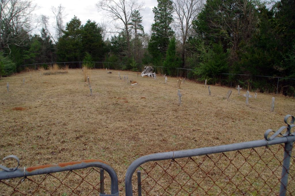
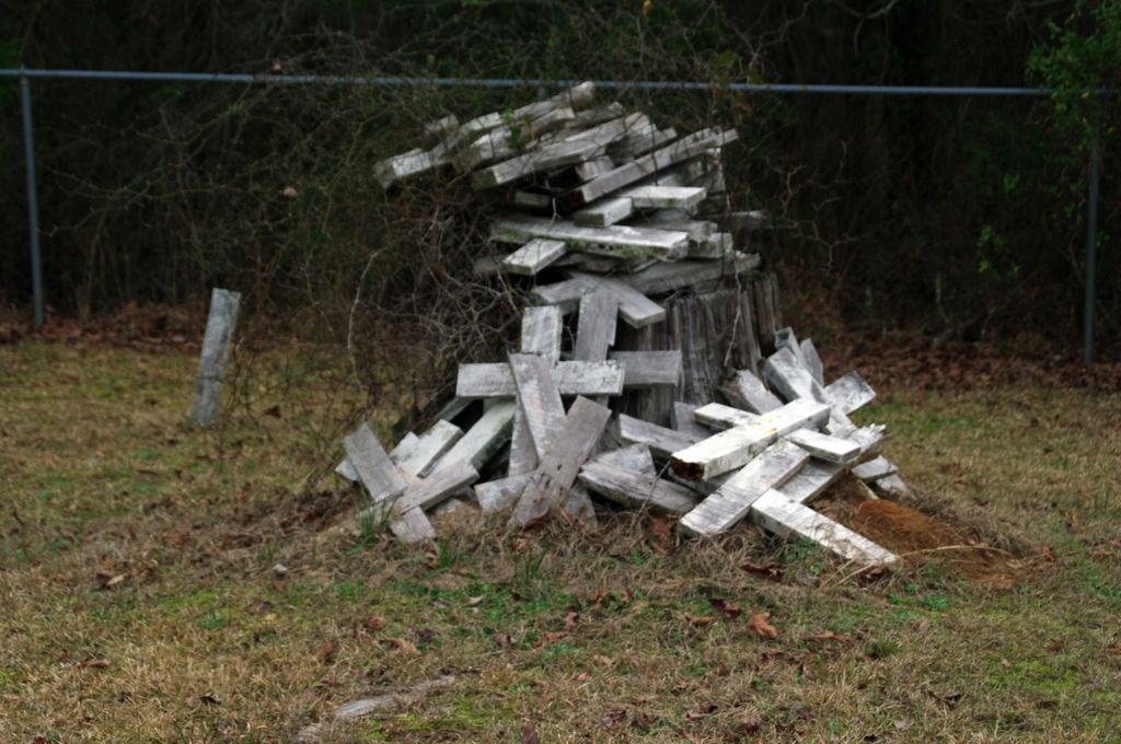
| Memorials | : | 0 |
| Location | : | Smith County, USA |
| Coordinate | : | 32.0951900, -89.4677200 |
| Description | : | From Raleigh Mississippi proceed North on Mississippi Highway 35 (MS 35) 4.9 miles to the intersection of Smith County Road 120 (SCR 120.) Turn Right (East) onto 2.6 Miles to the intersection of Smith County Road 119 (SCR 119.) At the intersection turn Left (Northeast) to remain on SCR 120. In approximately three tenths of a mile the paved road will turn into a dirt road. Continue approximately another tenth mile [four tenths of a mile from the SCR 119 & SCR 120 intersection. An abandoned logging road (now grass, but easily discernible) will be... Read More |
frequently asked questions (FAQ):
-
Where is Mount Nebo Cemetery?
Mount Nebo Cemetery is located at Smith County Road 120 Smith County ,Mississippi , 39152USA.
-
Mount Nebo Cemetery cemetery's updated grave count on graveviews.com?
0 memorials
-
Where are the coordinates of the Mount Nebo Cemetery?
Latitude: 32.0951900
Longitude: -89.4677200
Nearby Cemetories:
1. Trinity Methodist Cemetery
Raleigh, Smith County, USA
Coordinate: 32.0920600, -89.4753300
2. High Hill Baptist Church Cemetery
Raleigh, Smith County, USA
Coordinate: 32.0860100, -89.4780800
3. Sylvan Grove Cemetery
Smith County, USA
Coordinate: 32.1137310, -89.4530439
4. Lemon Christian Cemetery
Raleigh, Smith County, USA
Coordinate: 32.1225570, -89.4748020
5. Mount Nebo Baptist Cemetery
Raleigh, Smith County, USA
Coordinate: 32.0981000, -89.4317400
6. Old Henderson Cemetery
Smith County, USA
Coordinate: 32.1199100, -89.4919700
7. Barnes Cemetery
Raleigh, Smith County, USA
Coordinate: 32.0946999, -89.5068970
8. Austin Cemetery
Shongelo, Smith County, USA
Coordinate: 32.0875015, -89.5233002
9. Royals & Webb Cemetery
Raleigh, Smith County, USA
Coordinate: 32.0932999, -89.4096985
10. Henderson Family Cemetery
Smith County, USA
Coordinate: 32.1207008, -89.5181122
11. Double Church Cemetery
Raleigh, Smith County, USA
Coordinate: 32.0460420, -89.4574910
12. Cedar Grove Methodist Church Cemetery
Raleigh, Smith County, USA
Coordinate: 32.0664100, -89.4145800
13. Goodwater Baptist Church Cemetery
Smith County, USA
Coordinate: 32.1415200, -89.5027900
14. Turner Chapel Cemetery
Raleigh, Smith County, USA
Coordinate: 32.0474700, -89.5075300
15. Russell - Boykin Cemetery
Smith County, USA
Coordinate: 32.1066472, -89.3997402
16. Mount Pisgah Cemetery
Raleigh, Smith County, USA
Coordinate: 32.0589300, -89.5261100
17. Page Cemetery
Raleigh, Smith County, USA
Coordinate: 32.0891991, -89.5432968
18. Pineville-Leaf River Cemetery
Smith County, USA
Coordinate: 32.1266000, -89.3987200
19. Lewis Harper Cemetery
Raleigh, Smith County, USA
Coordinate: 32.0396800, -89.5115600
20. Eastside Baptist Church Cemetery
Raleigh, Smith County, USA
Coordinate: 32.0360600, -89.5063500
21. Craft Cemetery
Smith County, USA
Coordinate: 32.0774994, -89.5460968
22. North Raleigh Cemetery
Raleigh, Smith County, USA
Coordinate: 32.0432140, -89.5222230
23. Burns Baptist Church Cemetery
Raleigh, Smith County, USA
Coordinate: 32.1321880, -89.5384430
24. Barber Cemetery
Raleigh, Smith County, USA
Coordinate: 32.1321810, -89.5385960