
| Memorials | : | 0 |
| Location | : | Smith County, USA |
| Coordinate | : | 32.1266000, -89.3987200 |
| Description | : | From Raleigh, MS proceed East on Mississippi Highway 18 (MS 18 aka Sylvarena Avenue) for 7.5 miles to the intersection of Mississippi Highway 501 (MS 501.) Turn Left (North) onto MS 501 and continue 8.5 miles to the intersection of Smith County Road 529 (SCR 529. Turn Right (East) on SCR 529 and proceed 250 feet, cemetery will be on Left (North) side of road, specifically NE1/4 SW1/4, S5, T3N-R9E, Smith, Pineville Quadrangle map, USNG 16S BA 73641 57007. |
frequently asked questions (FAQ):
-
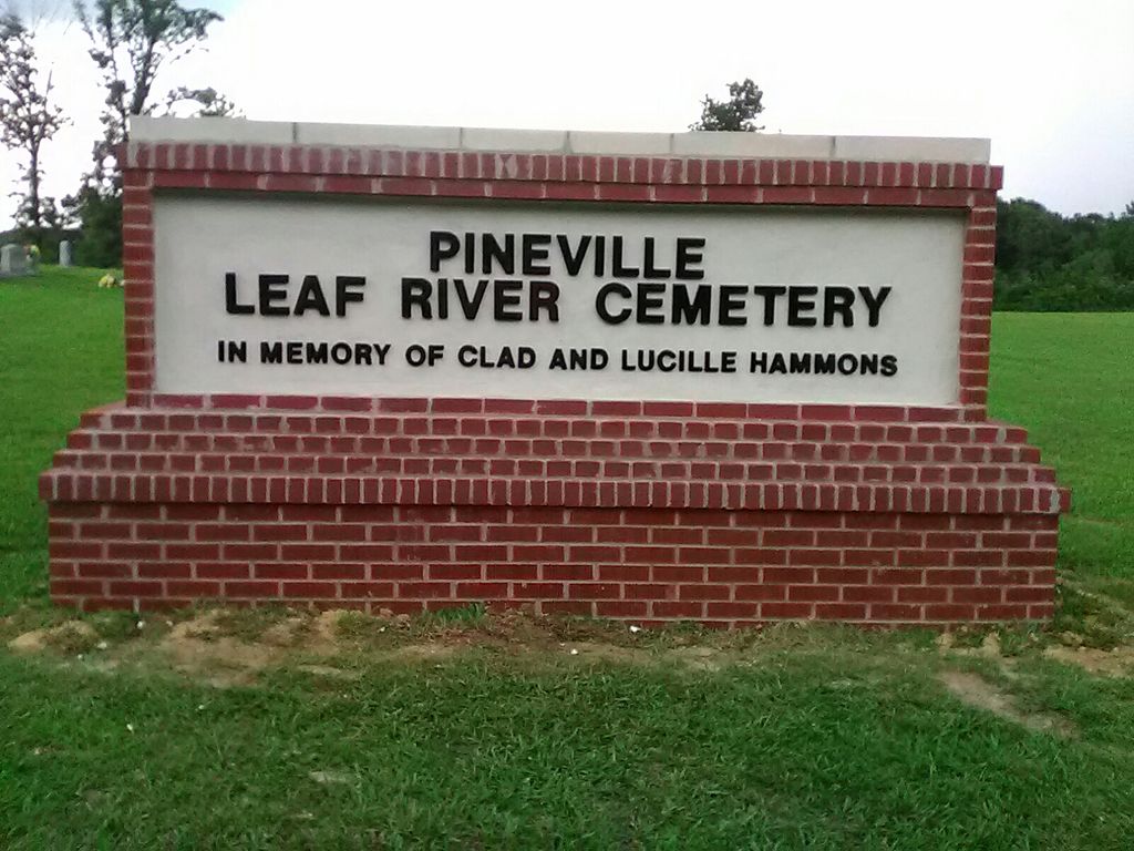
Where is Pineville-Leaf River Cemetery?
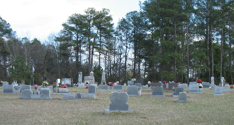
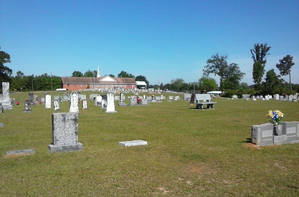
Pineville-Leaf River Cemetery is located at Smith County Road 529 Smith County ,Mississippi , 39338USA.
-
Pineville-Leaf River Cemetery cemetery's updated grave count on graveviews.com?
0 memorials
-
Where are the coordinates of the Pineville-Leaf River Cemetery?
Latitude: 32.1266000
Longitude: -89.3987200

Nearby Cemetories:
1. Russell - Boykin Cemetery
Smith County, USA
Coordinate: 32.1066472, -89.3997402
2. Royals & Webb Cemetery
Raleigh, Smith County, USA
Coordinate: 32.0932999, -89.4096985
3. Mount Nebo Baptist Cemetery
Raleigh, Smith County, USA
Coordinate: 32.0981000, -89.4317400
4. Sylvan Grove Cemetery
Smith County, USA
Coordinate: 32.1137310, -89.4530439
5. Clear Springs Baptist Church Cemetery
Smith County, USA
Coordinate: 32.1437000, -89.3439400
6. Burnett Cemetery
Pineville, Smith County, USA
Coordinate: 32.1528900, -89.3477000
7. Cedar Grove Methodist Church Cemetery
Raleigh, Smith County, USA
Coordinate: 32.0664100, -89.4145800
8. William F. Jones Cemetery
Raleigh, Smith County, USA
Coordinate: 32.0672200, -89.3739800
9. Lemon Christian Cemetery
Raleigh, Smith County, USA
Coordinate: 32.1225570, -89.4748020
10. Jesus Name Church Cemetery
Raleigh, Smith County, USA
Coordinate: 32.0610700, -89.3933700
11. Mount Nebo Cemetery
Smith County, USA
Coordinate: 32.0951900, -89.4677200
12. Healing Springs Community Cemetery
Smith County, USA
Coordinate: 32.0685100, -89.3594810
13. Warren Hill Methodist Church Cemetery
Sylvarena, Smith County, USA
Coordinate: 32.0672300, -89.3595300
14. Hills Chapel Cemetery
Jasper County, USA
Coordinate: 32.0668500, -89.3577230
15. Mount Carmel Cemetery
Smith County, USA
Coordinate: 32.1748200, -89.4593010
16. Bibleway Crusade Cemetery
Smith County, USA
Coordinate: 32.0829940, -89.3322550
17. Trinity Methodist Cemetery
Raleigh, Smith County, USA
Coordinate: 32.0920600, -89.4753300
18. High Hill Baptist Church Cemetery
Raleigh, Smith County, USA
Coordinate: 32.0860100, -89.4780800
19. Old Henderson Cemetery
Smith County, USA
Coordinate: 32.1199100, -89.4919700
20. First Sylverena Seventh Day Adventist Cemetery
Raleigh, Smith County, USA
Coordinate: 32.0514600, -89.3686560
21. Carr Methodist Church Cemetery
Smith County, USA
Coordinate: 32.2058300, -89.4074200
22. Hopewell Missionary Baptist Church Cemetery
Raleigh, Smith County, USA
Coordinate: 32.0474900, -89.3696600
23. Goodwater Baptist Church Cemetery
Smith County, USA
Coordinate: 32.1415200, -89.5027900
24. Union Grove Cemetery
Smith County, USA
Coordinate: 32.1888520, -89.4801290