
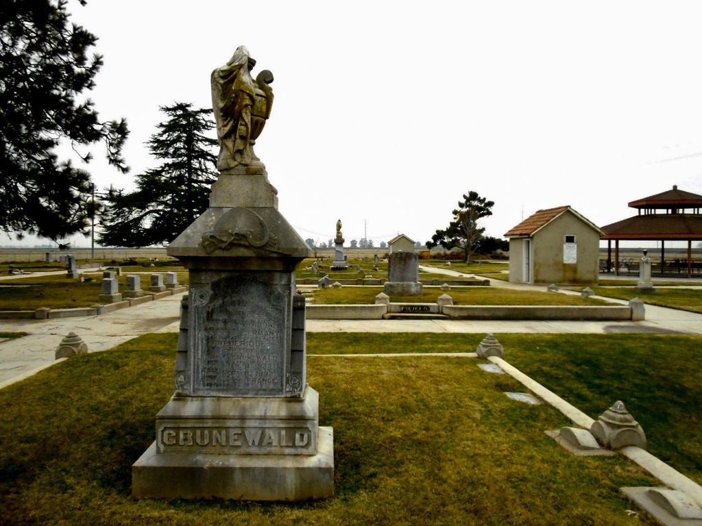
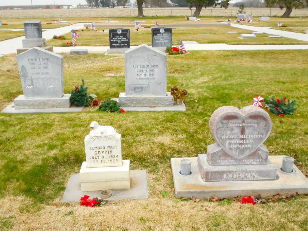
| Memorials | : | 128 |
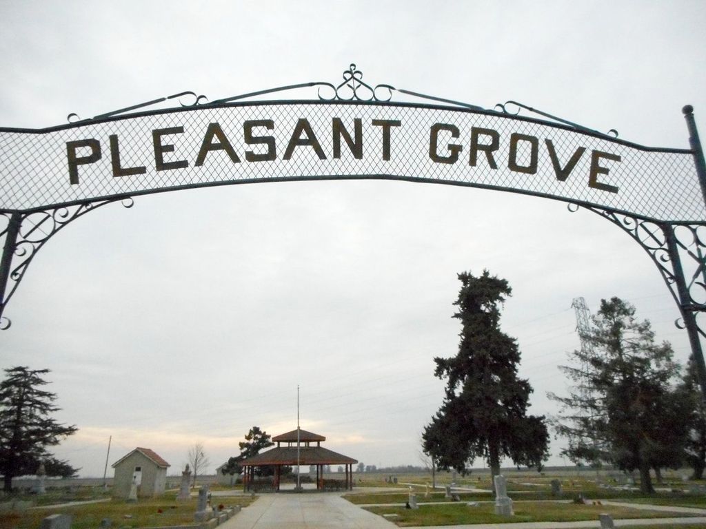
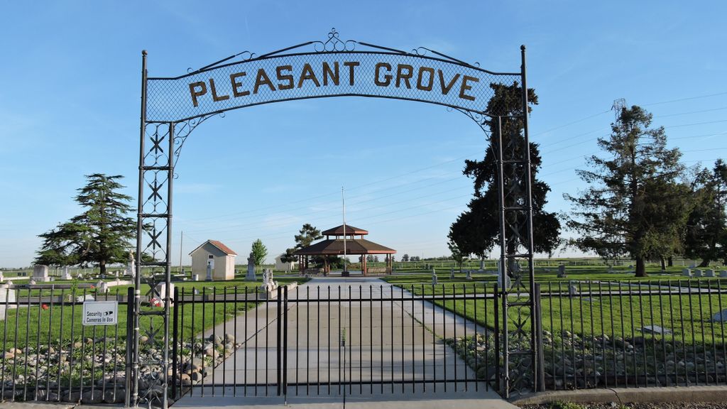
| Location | : | Pleasant Grove, Sutter County, USA |
| Coordinate | : | 38.8230000, -121.5206900 |
frequently asked questions (FAQ):
-
Where is Pleasant Grove Cemetery?
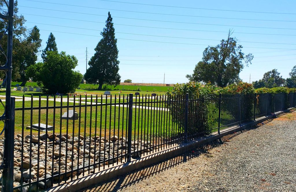
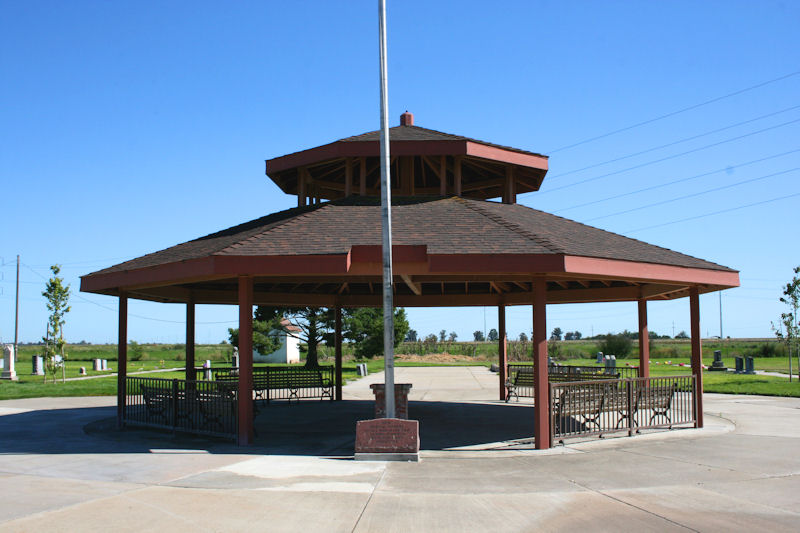
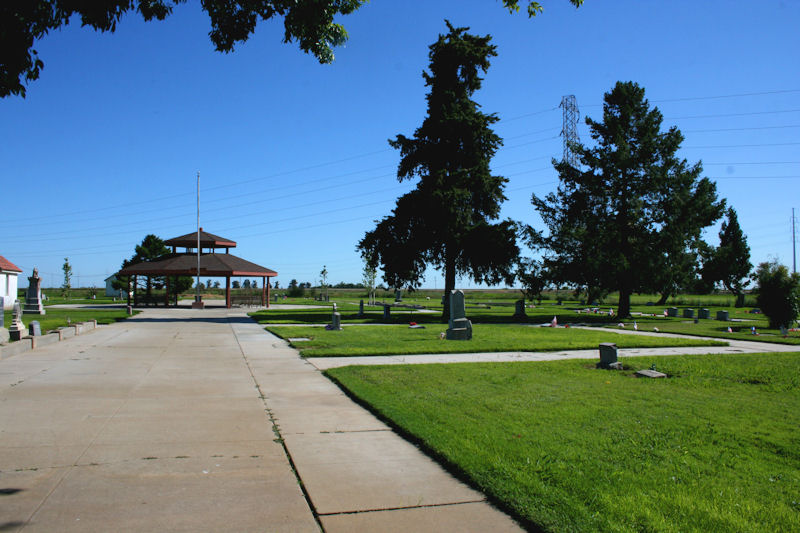
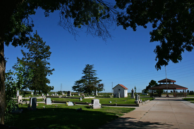
Pleasant Grove Cemetery is located at Howsley Road near Pacific Avenue Pleasant Grove, Sutter County ,California , 95668USA.
-
Pleasant Grove Cemetery cemetery's updated grave count on graveviews.com?
123 memorials
-
Where are the coordinates of the Pleasant Grove Cemetery?
Latitude: 38.8230000
Longitude: -121.5206900
Nearby Cemetories:
1. Nicolaus Cemetery
Nicolaus, Sutter County, USA
Coordinate: 38.8958015, -121.5639038
2. Fairview Cemetery
Rio Oso, Sutter County, USA
Coordinate: 38.9389000, -121.5250015
3. School House Park Cemetery
Roseville, Placer County, USA
Coordinate: 38.7893180, -121.3578670
4. Union Cemetery
Roseville, Placer County, USA
Coordinate: 38.7302600, -121.3924200
5. Knights Landing Cemetery
Knights Landing, Yolo County, USA
Coordinate: 38.7904530, -121.7284190
6. Santa Clara Memorial Park
Lincoln, Placer County, USA
Coordinate: 38.8894710, -121.3260560
7. Lincoln Cemetery
Lincoln, Placer County, USA
Coordinate: 38.8864310, -121.3020500
8. Sunset Lawn Chapel of the Chimes Memorial Park
Sacramento, Sacramento County, USA
Coordinate: 38.6514816, -121.4384842
9. Wheatland Cemetery
Wheatland, Yuba County, USA
Coordinate: 39.0083008, -121.4360962
10. Sheridan Cemetery
Sheridan, Placer County, USA
Coordinate: 38.9741000, -121.3585300
11. Calvary Catholic Cemetery and Mausoleum
Sacramento, Sacramento County, USA
Coordinate: 38.6937180, -121.3233109
12. Sierra Hills Pet Cemetery
Sacramento, Sacramento County, USA
Coordinate: 38.6863500, -121.3305300
13. Sierra Hills Memorial Park
Sacramento, Sacramento County, USA
Coordinate: 38.6843987, -121.3281021
14. Boothill Cemetery
Roseville, Placer County, USA
Coordinate: 38.7598730, -121.2712130
15. Roseville Public Cemetery District
Roseville, Placer County, USA
Coordinate: 38.7606010, -121.2707977
16. Manzanita Cemetery
Lincoln, Placer County, USA
Coordinate: 38.9444008, -121.3032990
17. Whitney Family Mausoleum
Rocklin, Placer County, USA
Coordinate: 38.8256500, -121.2477000
18. Sylvan Cemetery
Citrus Heights, Sacramento County, USA
Coordinate: 38.7001534, -121.2904587
19. Rocklin Cemetery
Rocklin, Placer County, USA
Coordinate: 38.7827670, -121.2337980
20. Marys Cemetery
Yolo, Yolo County, USA
Coordinate: 38.7635994, -121.8032990
21. Morgan Oaks Eternal Preserve
Lincoln, Placer County, USA
Coordinate: 38.9629050, -121.2860530
22. Holy Ascension Russian Orthodox Cemetery
Sacramento, Sacramento County, USA
Coordinate: 38.5846212, -121.4936736
23. Cacheville Cemetery
Yolo, Yolo County, USA
Coordinate: 38.7378300, -121.8090200
24. Saint Marks Methodist Church Memorial Tree
Sacramento, Sacramento County, USA
Coordinate: 38.6076500, -121.3750680